
Molokaʻi Weather
On This Page
Molokaʻi Weather Overview
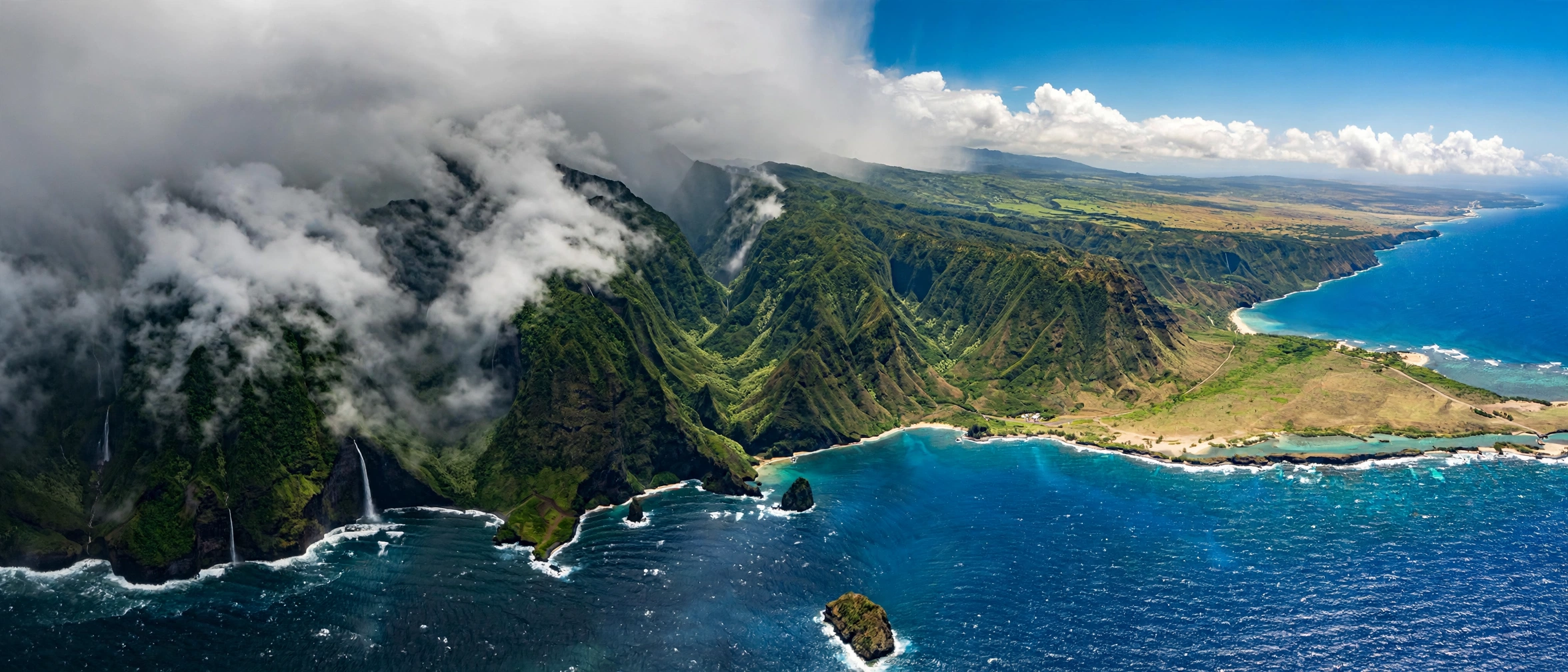
Molokaʻi is small, but its weather is anything but simple. The island stretches only about 38 miles long and 10 miles wide, yet it contains some of the sharpest climate contrasts in the Hawaiian chain. The leeward west end basks in near desert dryness with some of the most reliable sunshine in Hawaii, while the windward east end catches steady trade wind rain and grows thick with rainforest. Between them, the central plateau sits in a comfortable middle ground, and the towering north shore sea cliffs face the full force of the open Pacific. Understanding these microclimates is the key to planning a trip, because the weather forecast for one corner of the island often says little about conditions a twenty minute drive away.
The island’s climate follows the same broad Hawaiian pattern as its neighbors: a warm dry season from roughly May through September and a cooler wet season from October through April. Daytime highs across the coastal lowlands sit near 80 to 85 degrees Fahrenheit in summer and dip to the mid to upper 70s in winter. Nights cool into the 60s, and the summit areas of the East Molokaʻi Volcano can drop into the low 50s or even the high 40s in winter. Temperatures change more between regions and elevations than they do between seasons, which is why packing layers matters more than picking a month.
Rainfall tells the real story of Molokaʻi weather. Kaluakoʻi on the dry west end averages roughly 18 to 22 inches of rain per year, while Waikolu on the wet northeast flank can receive more than 100 inches in the same period. The central town of Kaunakakai lands in between at around 20 to 28 inches annually. Most rain arrives during the winter months and falls heaviest at night and in the early morning hours on the windward side, a pattern familiar across Hawaii. Summer days are often completely dry on the leeward coast, interrupted only by occasional passing showers over the higher ridges.
Molokaʻi’s small size and low population mean there are far fewer weather stations than on the busier islands, and conditions can shift quickly over short distances. The northeast trade winds dominate most of the year, blowing steadily at 10 to 20 miles per hour and keeping humidity moderate along the coasts. When those trades weaken, typically during autumn and in some spring weeks, Kona winds can bring warm, humid, and still air from the south, along with the possibility of vog haze drifting over from the Big Island. Vog impacts on Molokaʻi are generally mild compared to the Big Island or even Oʻahu, but hazy days do occur a few times each year when Kona winds persist.
For visitors, the practical takeaway is that Molokaʻi rewards flexibility. A rainy morning on the east end often clears by midday, and when Kaunakakai is overcast, the west end beaches are frequently glowing under blue skies. Check the forecast by zone rather than by island, keep an eye on wind and surf reports before ocean plans, and be ready to chase the sun west when the clouds settle over the ridges. Our Molokaʻi travel guide explains how the island’s regions connect, so you can plan days that work with the weather rather than against it.
Weather by Region
West End: Dry and Sunny
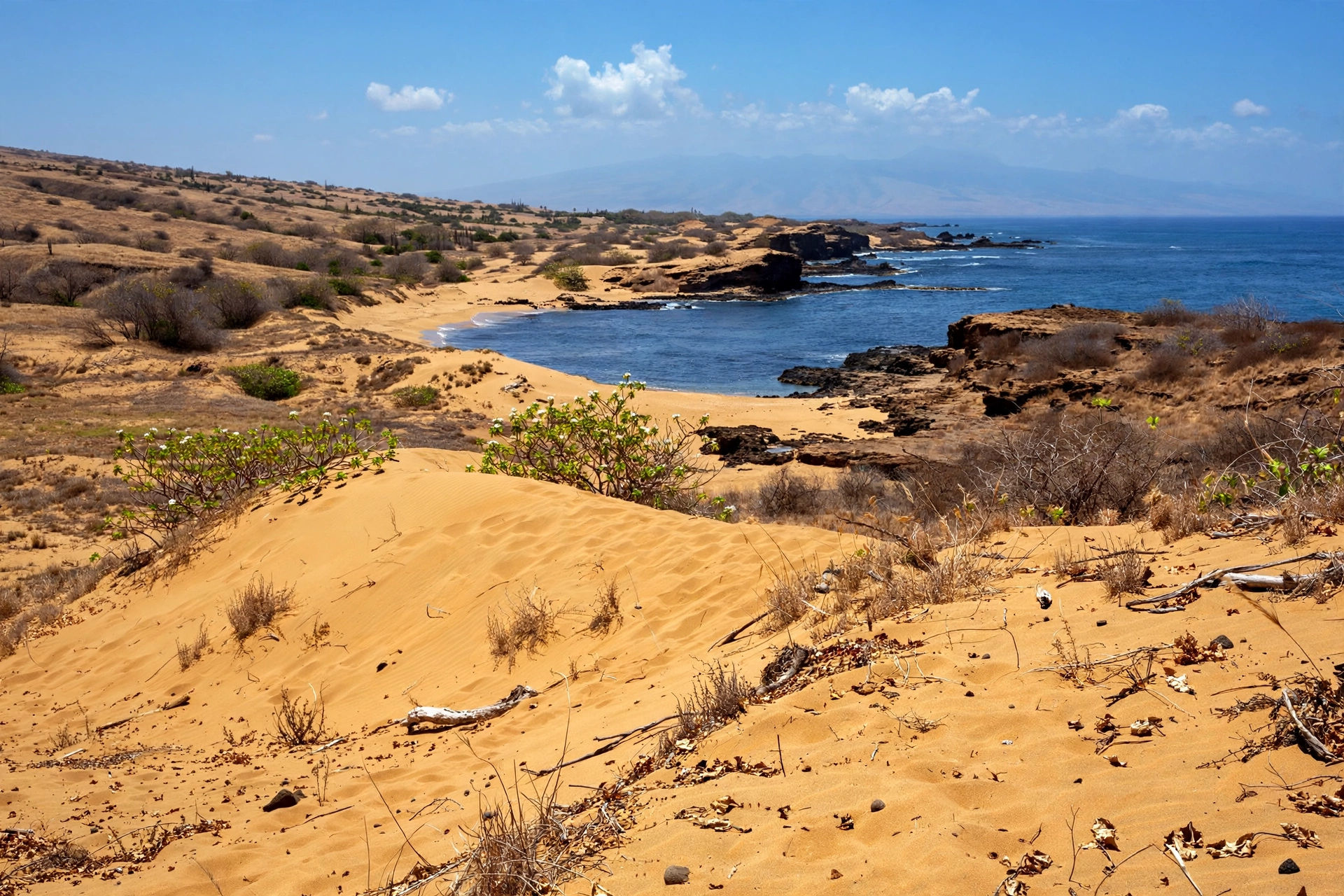
The west end of Molokaʻi is the island’s sun belt and one of the driest corners in all of Hawaii. Stretching from the resort area of Kaluakoʻi westward to the beaches of Papohaku, the region sits firmly in the rain shadow of the island’s volcanic ridges and receives only about 18 to 22 inches of rain per year. Annual sunshine is abundant, with trade wind showers rarely surviving the crossing from the wetter east. Daytime temperatures run a few degrees warmer than the rest of the island, commonly reaching 85 to 88 degrees in summer and staying near 78 to 80 through winter, and the dry air keeps humidity low.
This consistent sunshine is the reason the island’s best beach days are most often found here. Mornings typically start clear and calm, trade winds pick up through the afternoon, and showers are rare enough to be noteworthy. The main weather hazard on the west end is not rain but sun exposure: the combination of high UV, light dry air, and cooling breezes makes it easy to underestimate how quickly skin burns. Carry more water than you think you need when hiking the coastal dunes or beach paths, since shade is scarce and the heat builds fast.
Winter brings slightly higher chances of rain to the west end, usually in the form of brief fronts that pass through every week or two. Even then, the region tends to dry out quickly, and multi day washouts are uncommon. South shore ocean conditions off the west end stay relatively calm for most of the year, though winter can send intermittent swells around from the south and west. If your trip priorities are sunshine and beach time, the west end is the most weather reliable choice on Molokaʻi.
Kaunakakai and Central Molokaʻi
The central part of the island, including Kaunakakai town, the Kalaupapa overlook area on the plateau, and the Molokaʻi airport corridor, occupies the climatic middle ground. Annual rainfall here runs roughly 20 to 28 inches, with most of it falling between November and March. Trade winds sweep across the central plateau on a near daily basis, keeping air moving and afternoons comfortable even when temperatures reach the mid 80s in summer.
Kaunakakai’s weather is typical of a leeward Hawaiian town: warm, dry, and breezy, with rain that arrives as quick showers rather than lingering downpours. The Hoʻolehua area on the plateau above town runs slightly cooler and cloudier, since it sits at about 400 to 500 feet elevation and catches more of the passing trade wind moisture. Morning fog and low clouds occasionally settle over the plateau in winter, usually burning off by late morning.
Travelers based in Kaunakakai get the benefit of central access to every region, which is a real weather advantage. When the east end is wet and the north shore is windy, central Molokaʻi often stays pleasant, and the drive west to sunshine takes less than thirty minutes. The town’s weather also determines flight conditions: the island’s small airport sits on the dry central plateau, and while delays are infrequent, winter fronts and rare heavy rain days are the most likely causes of schedule disruptions.
East End: Wet and Lush
The east end of Molokaʻi is a different world meteorologically. The rugged East Molokaʻi Volcano ridge intercepts the northeast trades, squeezing out abundant rainfall that feeds deep valleys, waterfalls, and one of the most intact native rainforests in Hawaii. Rainfall increases dramatically with elevation and eastward distance: coastal areas near Pukoʻo may receive 60 to 80 inches annually, while the higher slopes above can exceed 100 inches. Passing showers are a near daily occurrence year round, and the landscape shows it in every shade of green.
For visitors, the east end’s weather is dramatic but manageable. Showers often arrive as intense but short lived bursts, and sunny breaks appear even on wet days. The valleys themselves generate their own micro weather, with clouds building over the ridges by midday and rain following in the afternoon. Waterfall viewing is best the day after rain, when the streams run full but the roads have had time to dry. See our Molokaʻi waterfalls guide for which falls flow most reliably in each season.
The east end is also where visitors most need to respect flash flood risk. Stream crossings and valley roads can flood rapidly during heavy rain, and cell service is limited in the remote reaches. Check the forecast before heading east, watch the sky behind the ridges, and turn back if water starts running over roads. Winter is the wettest season here by far, with the heaviest storms typically arriving between December and February.
North Shore: Wild and Exposed
Molokaʻi’s north shore, anchored by the highest sea cliffs in the world, faces the full exposure of the North Pacific. The cliffs rise over 3,500 feet, and the coastline receives the island’s heaviest surf in winter, when long period swells generated by Aleutian storms march across the ocean. Trade winds blow across the north shore with little obstruction, and conditions can be rough and dramatic for much of the year.
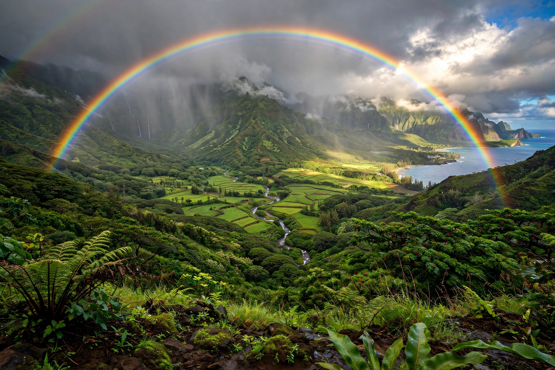
Weather on the north side changes fast. Windward showers sweep over the cliff tops, rainbows form and vanish within minutes, and the temperature feels cooler than the south side at the same elevation because of the constant breeze. The Kalaupapa peninsula below the cliffs sits in a partial rain shadow and is often noticeably drier than the ridges above it, though access to the peninsula is limited and weather dependent regardless.
Winter is when the north shore shows its true character. Surf heights can reach 20 feet or more during strong swells, and the shoreline becomes extremely dangerous. Even in summer, when smaller south swells dominate elsewhere, the north shore can produce respectable surf during south to southwest swell events that wrap around the island’s points. This is a coastline to admire from overlooks and safe vantage points, not a place for casual ocean entry, in almost any season.
Kamakou Summit: Cool and Misty
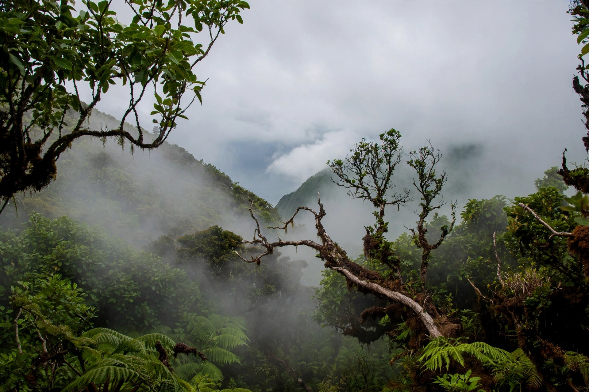
At just over 4,900 feet, Kamakou is the highest point on Molokaʻi and the island’s coolest destination. The summit sits inside the Kamakou Preserve, a cloud forest of rare native plants, and it is frequently wrapped in mist and low clouds. Temperatures at the summit typically run 15 to 25 degrees cooler than the coast: daytime highs in the 60s, nighttime lows in the 50s, and occasional winter nights that dip into the 40s.
Rainfall at elevation is heavy and frequent, and the boardwalk trail through the preserve can be slick and muddy year round. Cloud cover comes and goes, and the famous views across the Pailolo Channel to Maui appear only in clear moments, which are most likely in the early morning before the clouds build. Visitors driving to the summit should bring warm layers even on hot coastal days, since the temperature drop is dramatic and wind chill adds to the effect.
The road to Kamakou is unpaved in sections and becomes slippery after rain, so check conditions before going and allow extra time. Because the summit is the wettest and cloudiest spot on the island, it is also the place where Molokaʻi’s weather feels least like a tropical beach destination and most like a mountain escape. That contrast, reached in under an hour from Kaunakakai, is one of the island’s quiet marvels.
Weather by Season
Summer: Warm, Dry, and Breezy
Summer, roughly May through September, is Molokaʻi’s driest and most predictable season. The North Pacific High strengthens and parks north of the islands, driving the northeast trade winds on a steady schedule. On the leeward coasts, rain becomes rare, humidity stays moderate, and afternoon highs settle in the low to mid 80s. Ocean water warms to its annual peak, south swells bring gentle surf to the south shore, and the long daylight hours stretch beach days well into the evening.
This is the season of most reliable sunshine on the west end, where entire weeks can pass without a measurable drop of rain. The east end stays greener and wetter than the rest of the island even in summer, but showers become briefer and the valleys see more full sunny days. Trade winds are at their strongest and most consistent in summer, which keeps the coasts comfortable but can make exposed ocean activities choppy in the afternoons. Mornings are typically the calmest part of the day across the island.
Summer is also hurricane season in the central Pacific, running from June through November. Direct hurricane strikes on Molokaʻi are rare, but tropical systems passing south of the islands can bring several days of elevated surf, heavy rain, and gusty winds. Monitor the Central Pacific Hurricane Center forecasts during these months, especially if you have open ocean plans, since conditions can change with only a few days of warning.
Winter: Wet, Surf, and Changing Winds
Winter, roughly October through April, is Molokaʻi’s wet season and its most dynamic time of year. Cold fronts sweep down from the northwest every one to two weeks, bringing the island’s heaviest rains, shifting winds, and the big surf that defines Hawaii’s winter. Rainfall totals on the windward east end can double their summer rates, and even the dry west end sees its share of passing showers. Daytime highs ease into the upper 70s, nights dip into the low to mid 60s on the coasts, and the summit can feel genuinely cold after dark.
The most dramatic winter change is in the ocean. North Pacific winter storms generate powerful swells that slam into Molokaʻi’s north shore from October through March, with the largest surf typically arriving between December and February. South shore spots that were glassy in summer can see occasional winter swells of their own, though they remain far calmer than the north side. Water temperatures cool to their annual lows, and air temperatures make early mornings feel brisk until the sun climbs.
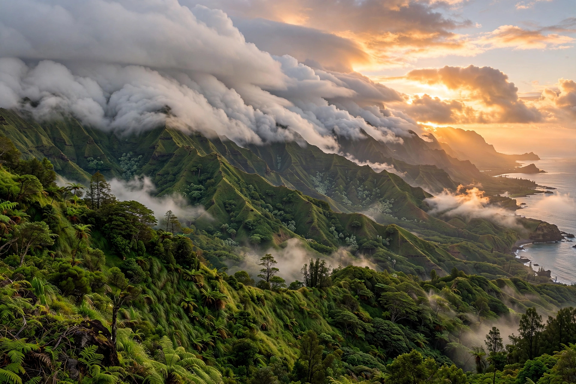
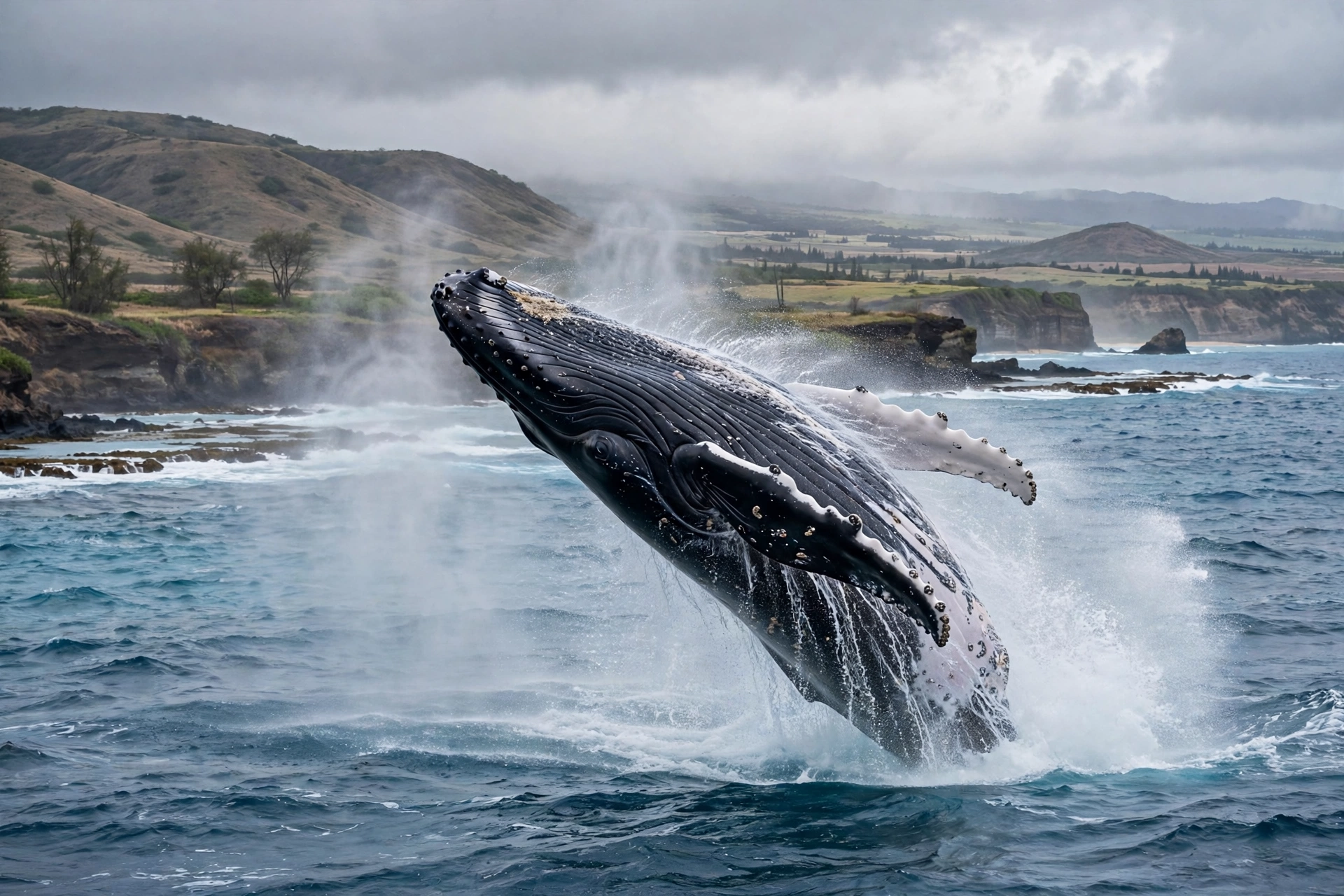
Winter also brings the island’s most variable skies. A single day can deliver rain, sunshine, rainbows, and wind in sequence, and forecasts become less reliable beyond a few days. The upside is that winter produces Molokaʻi’s most spectacular conditions for sightseeing: full waterfalls, dramatic cloud formations over the sea cliffs, whale season offshore, and the lushest green the east end ever wears. Pack for variety, plan flexible days, and you will find winter rewards the prepared traveler.
Trade Winds and Kona Winds
The northeast trade winds are the engine of Molokaʻi’s climate, blowing on roughly 70 to 90 percent of summer days and somewhat less often in winter. They arrive cool and moisture laden from across the Pacific, drop their rain on the windward ridges, and descend the leeward slopes warm and dry. This single mechanism creates the island’s wet east and dry west, and it keeps coastal humidity in check for most of the year.
When the trades weaken or reverse, Molokaʻi experiences Kona winds: warm, humid air flowing from the south and southwest. Kona wind episodes are most common in autumn and spring and typically last a few days. They bring muggy, still conditions, hazy skies, and the island’s heaviest leeward rains, since the usual rain shadow pattern breaks down. Kona winds are also when vog, the volcanic haze from the Big Island, is most likely to drift over Molokaʻi. Effects are usually mild, a visible haze and slightly irritated eyes or throat for sensitive visitors, and they clear quickly once the trades return.
You can read the wind regime in the clouds: puffy trade wind clouds lined up in rows mean normal conditions, while a uniform gray overcast with still, heavy air signals Kona winds. Local forecasts from the National Weather Service office in Honolulu include wind advisories and small craft advisories that matter for inter island travel and ocean activities, so checking the marine forecast is as important as checking the rain forecast.
Ocean Conditions
South Shore: Calm and Protected
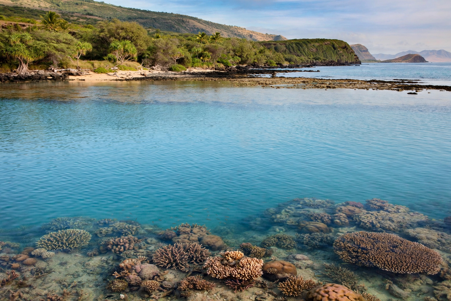
Molokaʻi’s south shore is one of the calmest coastlines in Hawaii, and its protection is no accident. The island sits in the lee of Maui and Lānaʻi, which block much of the incoming swell energy, and the shallow fringing reef further calms the water. The result is a long stretch of generally gentle ocean, particularly from Kaunakakai westward, where conditions stay swimmable on most days of the year.
Summer is the calmest season on the south shore, with warm water and minimal surf. Winter brings occasional south swells generated by Southern Hemisphere storms, which can raise surf heights to several feet and create strong shorebreak at exposed beaches. Even so, the south shore remains dramatically calmer than the north shore in winter, and protected reef areas stay suitable for snorkeling on most days. Our Molokaʻi snorkeling guide breaks down which south shore spots are most sheltered.
Because the south shore is so consistently calm, it is also where visitors underestimate the ocean most. Tidal currents, shallow reef, and sudden wind shifts can still create hazards, and winter swells arrive with little warning. Check the surf forecast before entering the water anywhere, and treat flat calm days with the same respect as everywhere else in Hawaii.
North Shore: Winter Swells
The north shore is Molokaʻi’s wild side, fully exposed to North Pacific winter swells. From October through March, surf heights regularly reach 10 to 15 feet during swell events, and the largest storms of the season can push waves beyond 20 feet along the cliff base. The shoreline here is rocky, remote, and pounded by powerful shorebreak, making it entirely unsuitable for swimming or casual wading in winter.
Summer calms the north shore considerably, but it never becomes a swimming coast. Smaller surf and lighter winds make it the best season for viewing the cliffs and waterfalls from the water, when conditions allow, and for appreciating the coastline’s scale from the overlooks. Even in the calmest months, the shorebreak and currents demand respect, and there are no lifeguarded beaches on the north shore.
The Pailolo Channel between Molokaʻi and Maui is one of the windiest channels in Hawaii, and it deserves special mention for anyone considering inter island ocean travel. Trade winds accelerate through the channel, building steep wind waves and whitecaps on most afternoons. Channel crossings, whether by ferry or private boat, are smoothest in the early morning and can be rough enough in the afternoon to challenge even experienced travelers. Check the marine forecast and the small craft advisories before any crossing.
Water Temperatures
Molokaʻi’s ocean temperatures follow a gentle annual cycle. Water warms to about 80 to 82 degrees Fahrenheit in late summer and early autumn, typically peaking in September, then cools gradually to about 74 to 76 degrees in late winter, usually bottoming out in February or March. These are comfortable swimming temperatures year round for most visitors, though the winter dip is noticeable on long snorkels.
A thin rash guard or short wetsuit top adds comfort in winter, particularly for snorkeling, diving, or any activity with extended water time. Children and anyone who chills easily may appreciate the extra layer even in summer during long sessions. The air to water temperature difference is smallest in summer and largest in winter, which is why winter mornings can feel brisk even when the ocean itself remains inviting.
What to Pack
Packing for Molokaʻi means packing for several climates in one small island. Start with the beach basics: reef safe sunscreen, a wide brim hat, sunglasses, and swimwear. The sun is intense year round, and the dry west end offers almost no natural shade, so sun protection is not optional. A lightweight long sleeve sun shirt earns its place on any itinerary with hiking or long beach days.
Layers are the second priority. A light fleece or warm jacket is essential for Kamakou summit and for winter evenings anywhere on the island, and a rain shell or packable rain jacket belongs in your daypack whenever you head to the east end or the north shore overlooks. Quick dry hiking clothes handle both the muddy summit boardwalk and sudden windward showers far better than cotton, and sturdy closed toe shoes with grip are the right choice for the preserve trails.
A few Molokaʻi specific additions round out the list. Water shoes help on rocky shorelines and reef entries along the south shore. Extra drinking water and snacks matter because services thin out quickly outside Kaunakakai, and a hot dry hike on the west end can dehydrate you faster than expected. Binoculars are a genuine pleasure here: winter whale watching from the south shore and year round birdwatching in the Kamakou cloud forest both reward the extra weight. For a full island packing checklist, see our Molokaʻi travel guide.

Best Time for Activities
The best weather window for a general Molokaʻi trip runs from April through June and again in September through early November. These shoulder periods combine warm temperatures, lower rainfall, calmer ocean conditions, and thinner crowds than the summer and winter peaks. Late spring in particular offers the island at its greenest after the winter rains, with waterfalls still flowing strongly and the summer dry pattern just beginning.
Beach days and snorkeling are best from May through September, when the south shore is at its calmest and water visibility peaks. Winter snorkeling is still possible in protected areas, but check conditions daily and expect more wind. Whale watching season runs roughly December through April, with February and March offering the highest concentration of humpbacks along the south and west shores. Winter is also the prime season for dramatic sightseeing: full waterfalls, storm lit sea cliffs, and rainbows over the valleys.
Hiking has two sweet spots. The Kamakou summit and east end trails are most pleasant in the drier months from May through October, when the boardwalks are less muddy and the views open more often. West end coastal hikes are comfortable nearly year round but are most enjoyable in the cooler months from November through March, when the heat eases. Waterfall viewing peaks in winter and early spring after rains, though the east end’s wettest trails are also at their muddiest then, so weigh the tradeoff. Our Molokaʻi hikes guide details seasonal conditions for the island’s best trails.
Molokaʻi Weather FAQ
What is the weather like on Molokaʻi year round?
Molokaʻi has a warm tropical climate with coastal highs in the low to mid 80s in summer and the upper 70s in winter. Rainfall varies enormously by region: the west end is arid with around 20 inches per year, while the east end rainforest can exceed 100 inches. Trade winds blow most days, keeping humidity moderate along the coasts.
Which part of Molokaʻi has the best weather?
The west end, around Kaluakoʻi and Papohaku Beach, has the most reliably sunny and dry weather on the island. Kaunakakai and the central plateau are also pleasant and sit in the climatic middle ground. The east end and north shore are wetter, windier, and more dramatic, which suits sightseeing better than sunbathing.
When is the rainy season on Molokaʻi?
The wet season runs roughly October through April, with the heaviest rains typically falling between December and February. The east end receives the most rain in every month, while the west end stays relatively dry even in winter. Summer showers are usually brief and concentrated over the higher ridges.
Does Molokaʻi get hurricanes?
Direct hurricane strikes on Molokaʻi are rare, but the island lies within the central Pacific hurricane zone and the season runs June through November. Tropical systems passing nearby can bring heavy rain, high surf, and strong winds for several days. Monitor forecasts from the Central Pacific Hurricane Center during these months.
Is there vog on Molokaʻi?
Vog, the volcanic haze from the Big Island, occasionally drifts over Molokaʻi during Kona wind episodes, but impacts are generally mild and infrequent compared to the Big Island. Hazy days clear quickly once the northeast trades return. Visitors with respiratory sensitivity should check air quality reports during extended Kona wind periods.
Can you swim on Molokaʻi in winter?
Yes, on the protected south shore, where water temperatures stay near 75 degrees even in winter and the reef keeps surf low. The north shore is dangerous in winter and unsuitable for swimming in any season. Always check the surf forecast before entering the water, since winter swells can affect even sheltered spots.
What should I wear on Molokaʻi in winter?
Pack layers: swimwear and light clothes for the coasts, plus a warm jacket for Kamakou summit and cool evenings, and a rain shell for the east end. Winter nights on the coast dip into the 60s, and the summit can reach the 40s, so one genuinely warm layer makes a real difference.
When is the best time to visit Molokaʻi for good weather?
Late April through June and September through early November offer the best balance of warm temperatures, lower rainfall, and calm ocean conditions. Summer brings the most reliable sunshine, while winter offers whale season and the fullest waterfalls at the cost of wetter, more variable weather.
Related Guides
- Molokaʻi Travel Guide: the complete island overview, regions, and trip planning
- Molokaʻi Beaches: the island’s best beaches by region and season
- Molokaʻi Hikes: trails from the Kamakou cloud forest to the west end coast
- Molokaʻi Waterfalls: where to see the island’s tallest falls
- Molokaʻi Snorkeling: the calm south shore reef and best snorkel spots
- Molokaʻi Map: regions, roads, and key locations
- Molokaʻi Transportation: getting around the island in any weather
- Maui Weather: how the neighboring island’s climate compares
- Kauaʻi Weather: the Garden Isle’s wetter microclimates
- Big Island Weather: climate zones across Hawaiʻi Island
Understanding Molokaʻi’s Weather
Molokaʻi’s weather is best understood as a compact version of Hawaii’s full climatic range. Within a single day you can stand in desert dry heat on the west end, walk through cool mist in the Kamakou cloud forest, and watch rain sweep across the east end valleys, all without driving more than an hour. That variety is not an obstacle to planning; it is the island’s quiet advantage. Travelers who read the sky by region, keep a flexible itinerary, and carry one warm layer alongside their swimwear will find that Molokaʻi offers good weather somewhere on the island on nearly every day of the year. The island rewards those who pay attention to its moods, and its moods, once learned, are easy to love.