
Lānaʻi Weather
On This Page
Lānaʻi Weather Overview
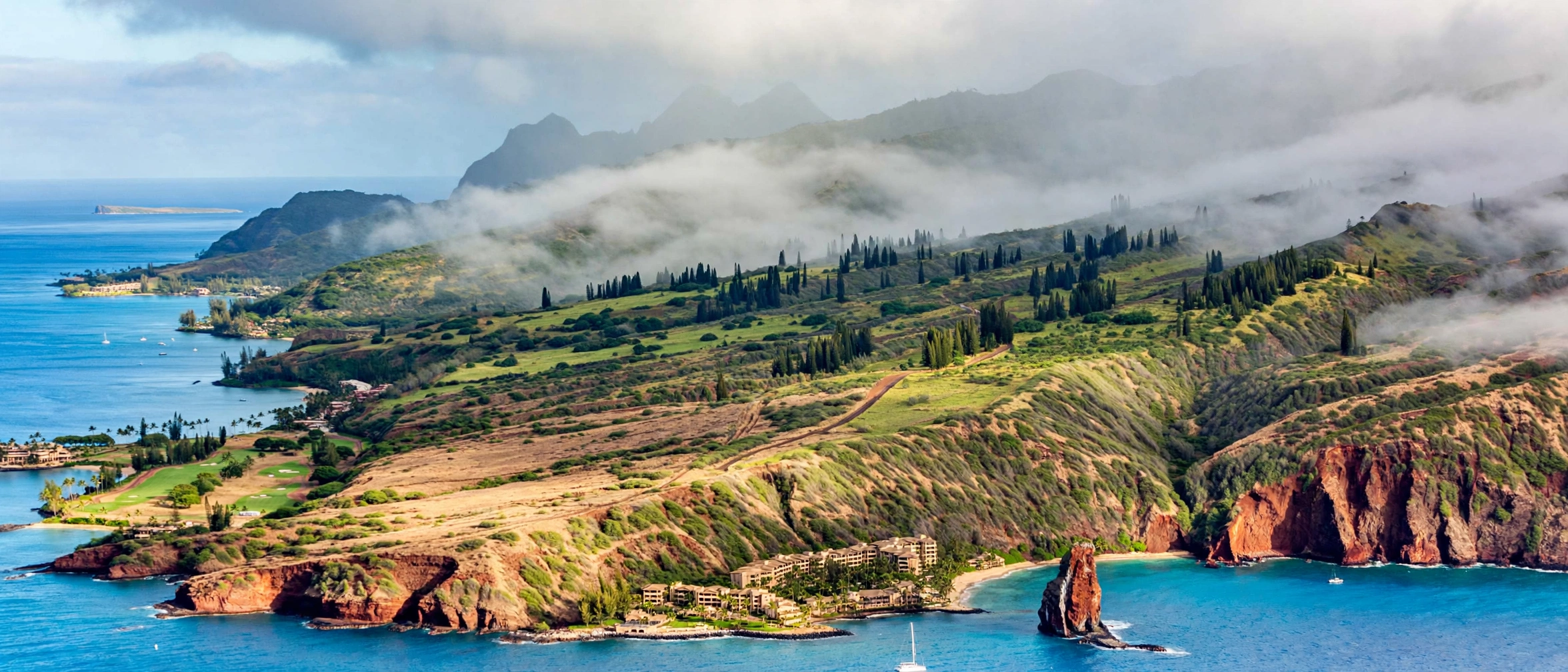
Lānaʻi is the driest inhabited island in Hawaiʻi, and its weather is defined by one of the sharpest contrasts in the state. The island is small, roughly 140 square miles, built from a single extinct volcano that rises to 3,370 feet at Lānaʻihale. Yet within a twenty minute drive you can move from the cool, misty streets of Lānaʻi City on the central plateau to the hot, sun baked shoreline at Mānele Bay. Temperatures between the two can differ by 10 to 15 degrees on the same afternoon, and annual rainfall can differ by a factor of two or more. Lānaʻi is effectively a two zone island, and knowing which zone you are in matters more than knowing the month.
The island’s climate follows the broad Hawaiian pattern: a warmer dry season from roughly April through October and a cooler wet season from November through March. Along the south coast near Mānele, daytime highs reach the mid to upper 80s in summer and settle near the upper 70s in winter. Up in Lānaʻi City, sitting at about 1,645 feet elevation, highs run closer to the low 70s in summer and the mid 60s in winter, with nights that can dip into the 50s. The summit ridge along the Munro Trail runs cooler still, often wrapped in fog with temperatures in the 50s and 60s. Seasons change temperatures by only a few degrees; elevation changes them far more.
Rainfall is where Lānaʻi’s dry reputation comes from. The island as a whole averages roughly 30 inches of rain per year, but the distribution is lopsided. The Mānele coast on the leeward south shore receives only about 15 to 20 inches annually, making it one of the driest inhabited coastlines in Hawaiʻi. Lānaʻi City on the plateau catches more passing trade wind moisture and averages around 35 to 40 inches per year, much of it arriving as mist, drizzle, and fog drip rather than heavy downpours. The summit forests intercept the most moisture of all, though even they are modest by Hawaiian standards. Most rain falls during the winter months and often arrives at night or in the early morning, leaving many days partly cloudy by afternoon.
The northeast trade winds dominate Lānaʻi’s weather for most of the year, blowing steadily at 10 to 20 miles per hour. The island’s modest height means the trades are not wrung out as dramatically as they are on Maui or Kauaʻi, which is one reason Lānaʻi stays so dry. When the trades weaken, typically in autumn and during some spring weeks, Kona winds can bring warm, humid, still air from the south. Vog, the volcanic haze from the Big Island, rarely affects Lānaʻi in any meaningful way. The island sits upwind of Kīlauea’s vents under normal trade wind flow, and even during Kona episodes the haze is usually faint and brief compared to what the Big Island or Oʻahu experience.
For visitors, the practical lesson is simple: dress for two climates in one day. A morning that starts cool and damp in Lānaʻi City often turns hot and brilliant at Hulopoʻe Beach by midday, and the reverse happens just as reliably. Check forecasts by zone rather than by island, carry a light layer even on beach days, and remember that the plateau’s mist is not a sign the whole island is cloudy. Our Lānaʻi travel guide explains how the island’s regions connect, so you can plan days that follow the sun instead of fighting the clouds.
Weather by Region
Lānaʻi City: The Cool Plateau
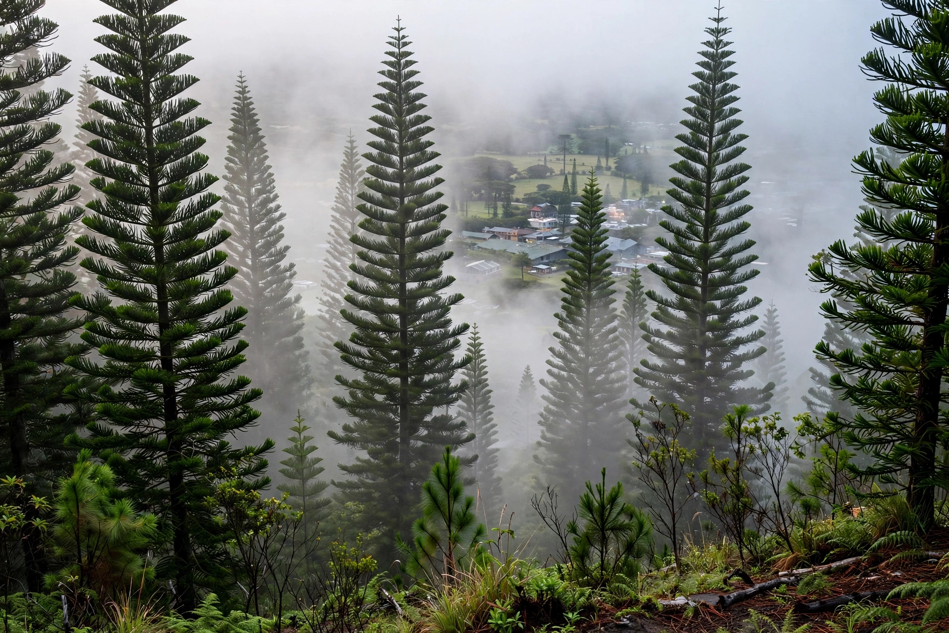
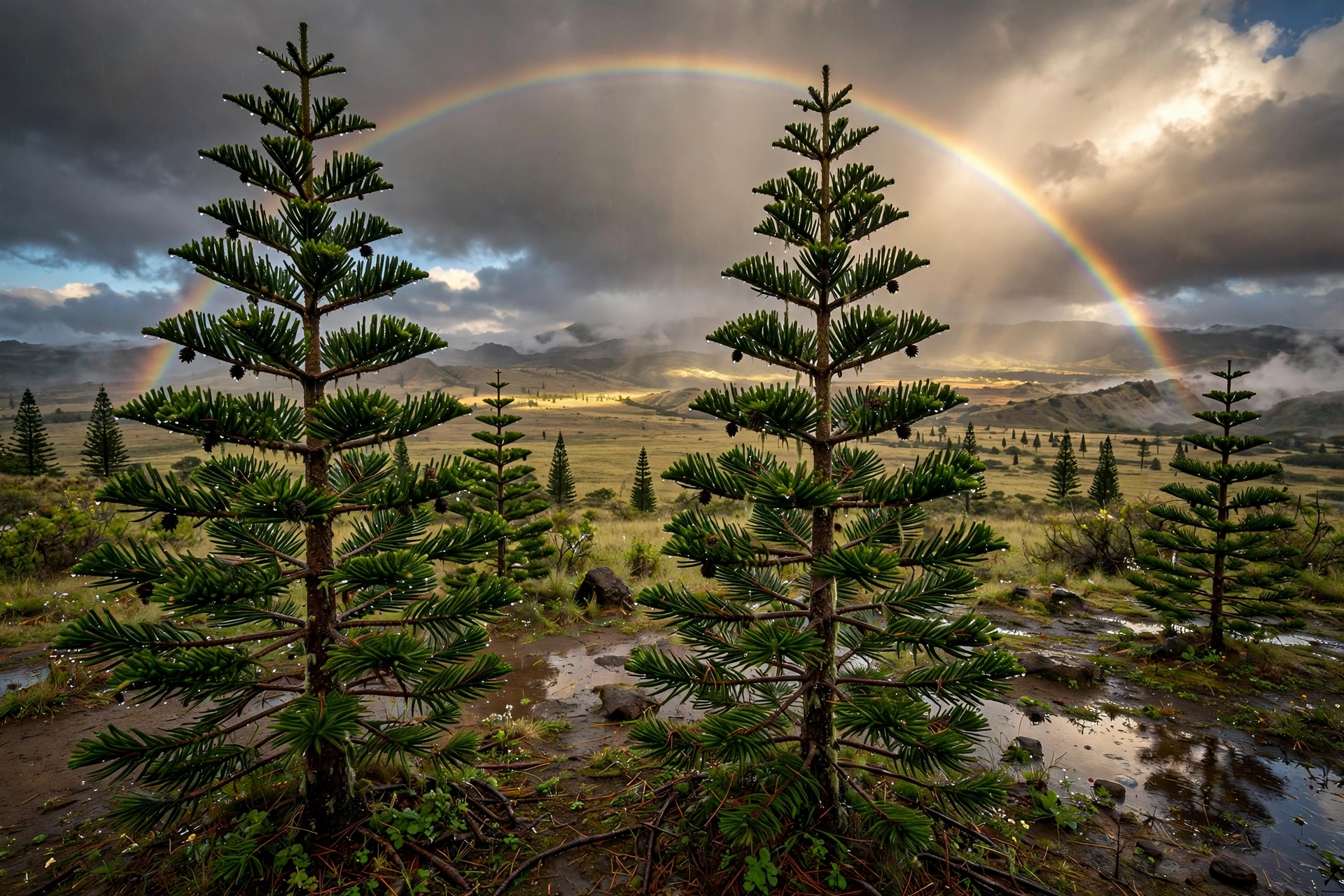
Lānaʻi City sits on the central plateau at roughly 1,645 feet above sea level, and it has the coolest town climate in Hawaiʻi. Daytime highs typically reach the low 70s in summer and the mid to upper 60s in winter. Nights are genuinely cool year round, often dropping into the 50s, and winter nights can feel chilly enough for a real jacket. The town is famous among residents for its misty mornings, when low clouds settle over the plateau and the towering Cook pines drip with moisture. This fog usually burns off by late morning, giving way to pleasant partly cloudy afternoons.
Rainfall in Lānaʻi City averages around 35 to 40 inches per year, the wettest settled area on the island, though that total is modest by Hawaiian standards. Much of it arrives as light drizzle and mist rather than tropical downpours, and the town’s red dirt roads can turn slick and muddy after rain. The plateau’s weather is also the island’s most changeable: a sunny morning can cloud over by afternoon as trade wind moisture piles against the modest ridge, and brief showers pass through with little warning. If you are staying in town, plan on layers and keep a rain shell handy even in summer.
The plateau’s cool climate is a genuine asset for travelers. It makes Lānaʻi City comfortable for walking, dining outdoors, and sleeping without air conditioning on most nights. It also means the town is the island’s best base for the Munro Trail and the Kānepuʻu Preserve, since both start in this cooler zone. Visitors arriving from the heat of the coast are often surprised to need a sweater within minutes of driving uphill, so keep one in the car whenever you head into town.
Mānele and Hulopoʻe: Hot, Dry, and Sunny
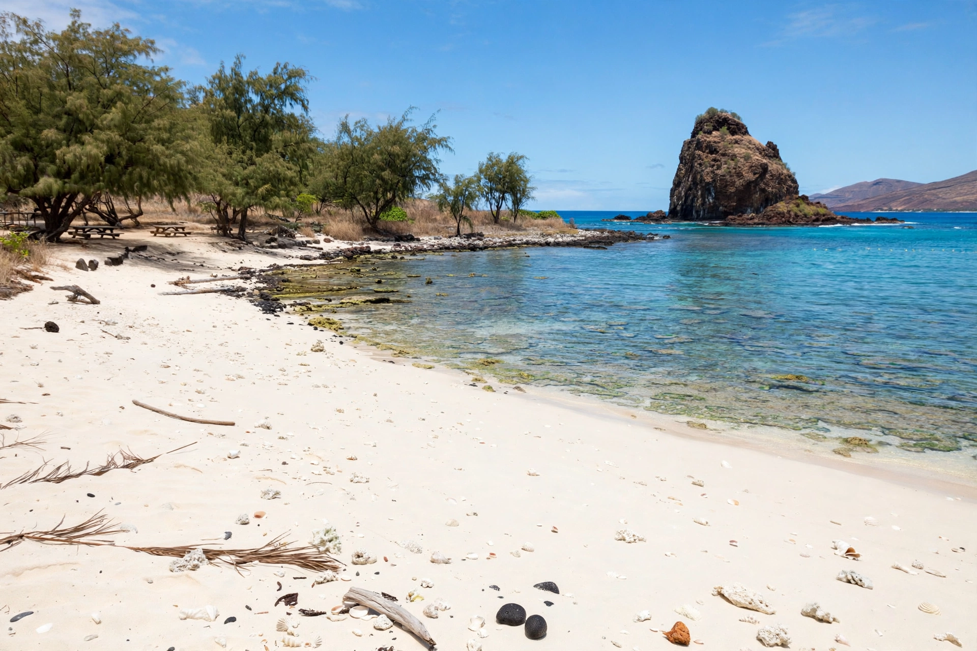
The south coast around Mānele Bay and Hulopoʻe Beach is Lānaʻi’s sun belt and the reason most visitors come. Sheltered in the lee of the island’s ridge, this coastline receives only about 15 to 20 inches of rain per year and enjoys some of the most reliable sunshine in Hawaiʻi. Daytime highs run in the mid to upper 80s through summer and stay near the upper 70s in winter. The air is dry, the humidity is low, and trade wind showers almost never survive the trip over the ridge. When Lānaʻi City is misty, Mānele is very often glowing under blue skies.
Mornings on the south coast are typically calm and glassy, which is why the early hours are the best time for snorkeling at Hulopoʻe. Afternoon trade winds pick up most days, ruffling the water and keeping the heat comfortable. Rain is rare enough to be a talking point: a passing shower may drop a few minutes of sprinkles and vanish, and multi day washouts are close to unheard of. Winter brings slightly higher rain chances, usually in the form of brief fronts, but even December and January deliver far more sunny days than not.
The main weather hazard here is not rain but the sun itself. The combination of high UV, dry air, and cooling afternoon breezes makes it easy to underestimate exposure, and sunburns develop fast. Drink more water than feels necessary, reapply reef safe sunscreen often, and seek shade during the midday hours. Winter ocean swells can occasionally wrap around into the bay from the south and west, so check the surf forecast before swimming even on calm looking days. See our Lānaʻi beaches guide for seasonal conditions at each shoreline.
Lānaʻihale Summit: Fog and Cloud Forest
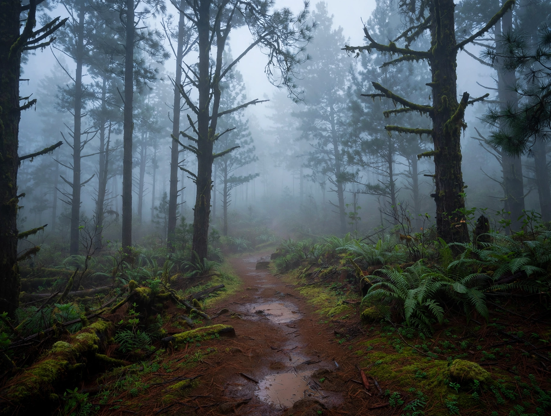
The summit ridge of Lānaʻihale, at 3,370 feet the highest point on the island, has its own weather entirely. The Munro Trail follows this ridge through one of the most unusual forests in Hawaiʻi, where introduced Cook pines and native plants harvest moisture directly from passing clouds. Fog drip, the slow condensation of cloud water onto leaves and needles, is the summit’s main water source, and on many days the ridge sits inside a moving bank of mist. Temperatures run in the 50s and 60s year round, and the damp chill can surprise hikers who started the day in beach clothes.
Rainfall at the summit is not precisely measured, but the ridge is clearly the wettest part of the island, with near constant dampness in the cloud zone. Showers can arrive at any hour, and visibility sometimes drops to a few dozen yards. The trail surface turns muddy and slick quickly, and the famous panoramic views from the ridge, which on clear days stretch to Maui, Molokaʻi, and the Big Island, are often hidden behind the clouds. The best odds for clear summit views come in the early morning during the drier months from May through October.
Hikers should treat the summit as a separate climate zone and pack accordingly: a real rain shell, warm layer, and footwear with grip. The temperature swing from Hulopoʻe Beach to the summit can exceed 25 degrees, which is remarkable for an island this small. Our Lānaʻi hikes guide covers seasonal trail conditions and what to expect on the Munro Trail month by month.
West End: Arid and Exposed
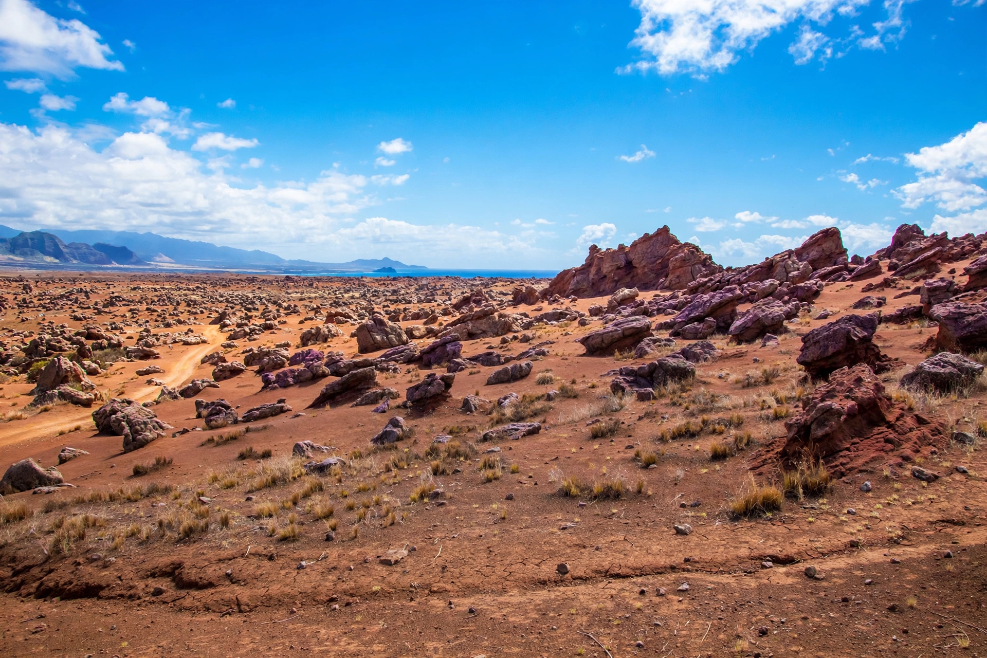
Lānaʻi’s west end, stretching from Kaunolū and Kaumālapaʻu around to Keahiakawelo, the Garden of the Gods, is the island’s most arid and exposed region. Rainfall here is minimal, the landscape is dry grassland and red dirt, and the vegetation thins to scattered kiawe and hardy shrubs. Daytime temperatures run hot, often matching or exceeding the south coast, but the defining feature is wind. With no high ridge to shelter it, the west end takes the full force of the trades and, in winter, the full force of Pacific swells.
This is rugged country best suited to sightseeing rather than swimming. The coastal cliffs and blowholes are spectacular in rough conditions but demand respectful distance, and the dirt roads to the Garden of the Gods can turn treacherous after rain. Dust and windblown grit are constant companions on dry days, so bring eye protection and secure loose gear. The west end’s stark beauty photographs best in the softer light of morning or late afternoon, when the red earth glows and the long shadows define the eroded terrain.
Access is the real weather consideration here. The unpaved roads deteriorate quickly in wet conditions, and there is no cell service across much of the region. Check the forecast before heading west, carry extra water, and let someone know your route. Winter storms can make the roads impassable for days, while summer’s dry heat makes midday exploration genuinely uncomfortable. Plan west end drives for cool, settled mornings.
North Shore: Windy and Wild
Lānaʻi’s north shore, home to Shipwreck Beach at Kaiolohia, faces the open ocean and the full northeast trades. It is the island’s windiest coastline and its roughest in winter, when North Pacific swells pound the reef and send spray high over the lava rock. The famous shipwreck on the reef is a reminder of what these waters can do. Temperatures are a touch cooler than the south coast thanks to the constant breeze, and wind chill can make overcast days feel genuinely brisk.
Rainfall on the north shore is light but the wind makes it feel wetter than it is, driving mist and spray horizontally during storms. This coast is for looking, not swimming: currents are strong, shore break is powerful, and there are no lifeguards anywhere on Lānaʻi. The north shore’s drama is best appreciated from the beach or the coastal track, especially in winter when the surf is at its most theatrical. Even in summer, when swells ease, the water here stays rougher than the sheltered south coast.
Visitors driving the north shore should watch for sudden gusts on exposed ridges and blowing sand on the coastal flats. The 4WD track along the shore is scenic but rough, and conditions change fast when weather systems pass. Our Lānaʻi map guide shows the island’s regions and roads so you can plan routes that match the day’s conditions.
Weather by Season
Summer: Warm, Dry, and Breezy
Summer on Lānaʻi, roughly April through October, is the warmest, driest, and most settled season. South coast highs sit in the mid to upper 80s, Lānaʻi City enjoys pleasant 70s, and rainfall drops to its annual minimum. The northeast trades blow at their strongest and most consistent, keeping humidity low and afternoons comfortable even at the beach. Ocean conditions on the south shore are at their calmest, with the flattest water and clearest visibility of the year.
Summer is also the most predictable season, which makes it the easiest time to plan. Multi day stretches of nearly identical weather are common: sunny coasts, misty plateau mornings that clear by midday, and brief trade wind showers confined to the summit ridge. The main summer nuisances are heat on exposed hikes, the occasional dusty afternoon on the west end, and the rare Kona wind episode that brings a few days of still, muggy air. Hurricane season technically runs June through November, but direct impacts on Lānaʻi are historically rare.
For most visitors, summer offers the best odds of classic beach weather. Snorkeling visibility peaks, the tide pools are at their most accessible, and the dirt roads to the island’s remote corners are at their most passable. The tradeoff is heat: plan strenuous activity for the morning hours and save the beach for the afternoon breeze.
Winter: Cooler, Wetter, and Changeable
Winter, roughly November through March, brings Lānaʻi’s coolest temperatures, most of its rain, and its most variable weather. South coast highs ease into the upper 70s, Lānaʻi City drops into the 60s with nights in the 50s, and the summit ridge stays cool and damp. Rainfall roughly doubles compared to summer, though even winter totals are modest next to wetter islands. Most rain arrives in fronts that pass through every week or two, bringing a day or two of clouds and showers followed by clearing.
Winter is also surf season. North Pacific swells light up the north and west shores from November through February, making for spectacular sightseeing and dangerous swimming conditions on exposed coasts. The sheltered south coast stays relatively calm but can see wrap around swells from the south and west during large events. This is the season to check the surf forecast every morning before any ocean plans, even at normally placid Hulopoʻe.
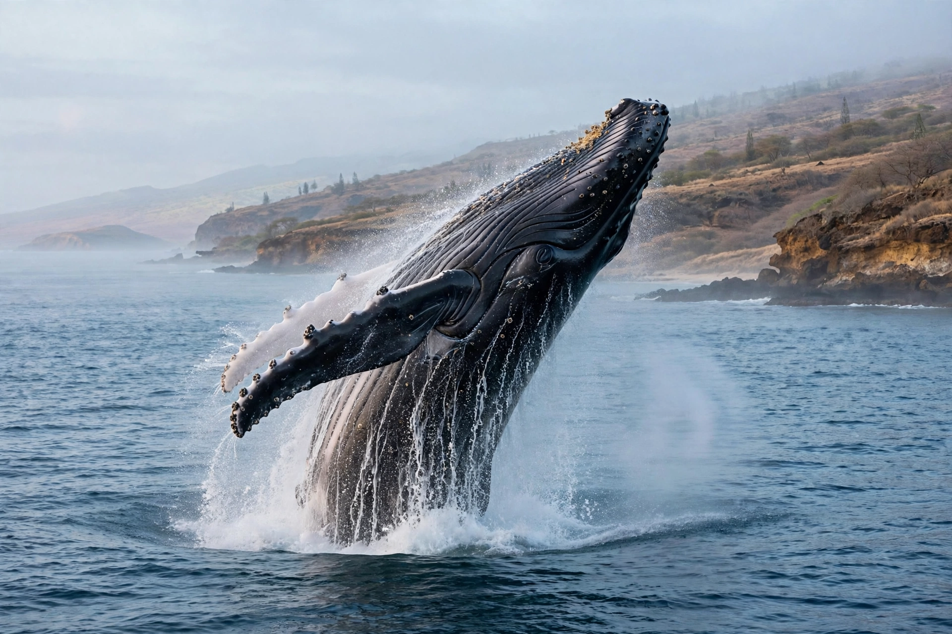
The reward for winter’s variability is the island at its greenest and most dramatic. Seasonal streams may flow in the eastern gulches after storms, rainbows arc over the plateau, and the sunsets deepen with the lower sun angle. Winter is also whale season: humpbacks fill the ʻAuʻau Channel from December through April, and Lānaʻi’s west facing shores offer some of the finest shore based whale watching in Hawaiʻi. Pack layers, keep plans flexible, and winter can be a wonderful time to visit.
Trade Winds and Kona Winds
The northeast trade winds are Lānaʻi’s default weather engine, blowing on roughly 70 to 80 percent of days in a typical year. They bring cool, relatively dry air off the Pacific, pile light clouds against the island’s modest ridge, and keep the coasts comfortable. Strong trade wind days, common in summer, can make the north shore and exposed ridges genuinely blustery while the sheltered south coast stays pleasant. The trades are the reason Lānaʻi’s weather is so consistent: as long as they blow, the pattern holds.
Kona winds are the exception. When the trades weaken, usually in autumn and during occasional spring weeks, winds swing around to blow from the south and southwest, bringing warm, humid, stagnant air. Kona episodes typically last a few days to a week and can make the island feel noticeably muggier, with hazy skies and little breeze. They also bring the island’s heaviest rains when combined with upper level disturbances, since the normally sheltered south coast loses its protection. During Kona winds, the normally calm Mānele coast can turn choppy while the north shore goes oddly flat.
Visitors do not need to overthink this, but it helps to know the pattern. If the forecast shows light or southerly winds, expect warmer, muggier, less predictable weather and plan accordingly. When the trades are blowing at 15 miles per hour out of the northeast, the island behaves exactly as the guidebooks describe: sunny coasts, misty plateau mornings, and reliable afternoon breezes.
Ocean Conditions
South Coast: Calm and Protected
Lānaʻi’s south coast, from Mānele Bay to Hulopoʻe, is the island’s calm water zone and one of the most reliably swimmable coastlines in Hawaiʻi. The coast faces south into the sheltered ʻAuʻau Channel, protected from the dominant north swells by the island itself and from southern swells by the channel’s geography. On a typical summer morning the water at Hulopoʻe is glassy, with visibility that can exceed 100 feet over the protected reef. This is why the island’s best beach, best snorkeling, and best beginner swimming all sit within a mile of each other.
Calm does not mean hazard free. Afternoon trade winds chop the surface most days, winter brings intermittent south and west swells that wrap into the bay, and Kona wind episodes can stir up conditions that look flat from shore. There are no lifeguards anywhere on Lānaʻi, so ocean safety is entirely the visitor’s responsibility. Check the surf forecast each morning, swim with a buddy, and respect the ocean even when it looks inviting. Our Lānaʻi snorkeling guide covers seasonal water conditions in detail.
North and West Shores: Swell Exposed
The north and west shores face the open Pacific and take the full energy of North Pacific winter swells. From November through February, waves at Shipwreck Beach and along the west end cliffs can reach dangerous heights, with powerful shore break, strong currents, and surge that sweeps across normally dry rock. These coasts are spectacular to watch in winter and completely unsuitable for swimming in any season. Even in summer, when swells ease, the water stays rougher and less predictable than the south coast.
Summer brings a different pattern: southern hemisphere swells generated by winter storms near New Zealand can send long period surf to Lānaʻi’s south and west shores from roughly May through September. These summer south swells are usually smaller than winter north swells but can still create hazardous conditions on exposed beaches and rocky shorelines. The takeaway is year round: Lānaʻi’s exposed coasts are for sightseeing, photography, and whale watching, never for casual swimming.
Water Temperatures
Ocean temperatures around Lānaʻi follow the gentle Hawaiian annual cycle. Water hovers near 75 degrees Fahrenheit in the winter months from January through March, warms into the upper 70s through spring and autumn, and peaks near 80 to 82 degrees in late summer from August through October. Most swimmers find the water comfortable year round without a wetsuit, though winter mornings can feel brisk on first entry and a thin rash guard adds comfort for long snorkel sessions.
Air temperature matters more than water temperature for comfort. A winter day with 77 degree air, 75 degree water, and a stiff breeze can feel cool once you leave the ocean, which is why a towel and a dry layer belong in every beach bag from November through March. In summer the equation reverses: 86 degree air and 81 degree water mean the ocean is the coolest place on the island, and you may never want to get out.
What to Pack
Packing for Lānaʻi means packing for two climates. The 15 to 25 degree swing between the coast and the plateau, sometimes experienced within a single hour of driving, catches more visitors off guard than any other aspect of the island’s weather. The single most useful item is a light warm layer: a fleece or sweater that lives in the car for Lānaʻi City evenings, misty plateau mornings, and the cool summit ridge. Even in summer, you will reach for it.
For the coast, standard tropical gear applies: swimwear, reef safe sunscreen, a hat, sunglasses, and breathable light clothing. The sun is intense and the dry air masks how fast you burn, so sun protection deserves more attention here than on wetter islands. A lightweight rain shell earns its place for the plateau and the Munro Trail, where mist and passing showers appear year round. Sturdy closed toe shoes with grip are essential for the muddy summit trail and the rocky tide pool areas; beach sandals will not do.
Winter visitors should add one genuinely warm layer and long pants for cool evenings in Lānaʻi City, where temperatures in the 50s feel colder than the number suggests after a day at the beach. A small dry bag protects electronics during sudden showers and on boats, and a reusable water bottle is a must in every season: the dry air and strong sun dehydrate faster than visitors expect. If you plan any west end exploring, add extra water, a paper map or offline maps, and a first aid kit, since help is far away on the dirt roads.
Best Time for Activities
The sweet spot for a general Lānaʻi trip runs from April through June and again in September through early November. These shoulder periods combine warm temperatures, minimal rainfall, calm ocean conditions, and thinner crowds than the summer and winter peaks. Late spring is particularly lovely: the island holds some green from the winter rains, the summer dry pattern is settling in, and the ocean is warming toward its summer calm.
Beach days and snorkeling are best from May through September, when the south shore is at its calmest and underwater visibility peaks. Winter snorkeling at Hulopoʻe is still possible on calm days, but check conditions each morning and expect more wind and occasional swell. Whale watching season runs December through April, with February and March offering the densest concentration of humpbacks in the ʻAuʻau Channel. Winter mornings on the west facing shores, binoculars in hand, can deliver breach after breach without leaving land.
Hiking is most pleasant from May through October, when the Munro Trail is at its driest and summit views open most often. Winter hiking is still rewarding but muddier, and the summit spends more days inside the clouds. Tide pool exploring is best at low tide on calm summer mornings; winter swells can make the pools dangerous or inaccessible for days at a time. Photography favors the softer light of the shoulder seasons, when the island’s red earth, green ridges, and blue water show their richest colors. Our Lānaʻi beaches guide and Lānaʻi hikes guide detail seasonal conditions for the island’s top outings.
Lānaʻi Weather FAQ
What is the weather like on Lānaʻi year round?
Lānaʻi has a warm, dry tropical climate with a sharp split between zones. The south coast near Mānele sees highs in the mid 80s in summer and upper 70s in winter with very little rain. Lānaʻi City on the plateau runs 10 to 15 degrees cooler, with highs in the low 70s in summer and 60s in winter, plus misty mornings. The summit ridge is cooler and damper still. Seasons shift temperatures only a few degrees; elevation is the bigger factor.
Which part of Lānaʻi has the best weather?
The Mānele and Hulopoʻe coast on the south shore has the most reliably sunny, dry, and warm weather, which is why the island’s best beach and snorkeling are there. Lānaʻi City is cooler and mistier but pleasant for walking and sleeping. The summit and north shore are the wildest zones, better for sightseeing and hiking than sunbathing.
Why is Lānaʻi City so much cooler than the coast?
Elevation. Lānaʻi City sits at about 1,645 feet above sea level, and temperature drops roughly 3 to 4 degrees for every 1,000 feet of elevation in Hawaiʻi. The plateau also catches more trade wind cloud and mist than the sheltered coast. The result is the coolest town climate in the state, with sweater weather possible on any night of the year.
Does it rain a lot on Lānaʻi?
No. Lānaʻi is the driest inhabited island in Hawaiʻi, averaging roughly 30 inches of rain per year island wide. The Mānele coast gets only about 15 to 20 inches annually, while Lānaʻi City receives around 35 to 40 inches, much of it as mist and drizzle. Multi day washouts are rare in every zone.
When is the rainy season on Lānaʻi?
The wetter season runs roughly November through March, with the heaviest rains typically arriving in fronts between December and February. Even in winter, rain usually falls as brief showers or overnight drizzle rather than all day downpours, and the south coast stays sunny far more often than not.
Does Lānaʻi get hurricanes?
Direct hurricane strikes on Lānaʻi are historically rare, but the island lies within the central Pacific hurricane zone and the season runs June through November. Nearby tropical systems can bring heavy rain, high surf, and strong winds for several days. Monitor forecasts from the Central Pacific Hurricane Center during these months, especially before west end or north shore outings.
Is there vog on Lānaʻi?
Vog is minimal on Lānaʻi. The island sits upwind of the Big Island’s volcanic vents under normal trade wind flow, so volcanic haze rarely reaches it in meaningful amounts. Brief hazy episodes can occur during extended Kona wind periods, but they clear quickly once the trades return and are far milder than what the Big Island experiences.
When is the best time to visit Lānaʻi for good weather?
April through June and September through early November offer the best balance of warm temperatures, low rainfall, and calm ocean conditions. Summer brings the most reliable beach weather, while winter offers whale season and greener landscapes at the cost of more variable skies and rougher exposed coasts.
Related Guides
- Lānaʻi Travel Guide: the complete island overview, regions, and trip planning
- Lānaʻi Beaches: the island’s best beaches by region and season
- Lānaʻi Hikes: trails from the Munro Trail summit to the coast
- Lānaʻi Snorkeling: the calm south shore reef and seasonal conditions
- Lānaʻi Waterfalls: the honest guide to the island’s seasonal water features
- Lānaʻi Map: regions, roads, and key locations
- Lānaʻi Transportation: getting around the island in any weather
- Maui Weather: how the neighboring island’s climate compares
- Molokaʻi Weather: microclimates on the Friendly Isle
- Big Island Weather: climate zones across Hawaiʻi Island
Reading Lānaʻi’s Two Skies
Lānaʻi’s weather asks visitors to hold two pictures in mind at once: the cool, pine scented mist of the plateau and the hot, salt bright glare of the south coast. Neither picture is the whole island, and the distance between them is barely a twenty minute drive. Travelers who learn to read both skies, who keep a sweater in the car alongside their snorkel gear and check the forecast by zone instead of by island, will find that Lānaʻi offers good weather somewhere within reach on nearly every day of the year. The island’s dryness is not a limitation; it is the reason the beaches shine so reliably and the stars come out so clearly over the plateau at night. Pay attention to the island’s moods, dress for both of them, and Lānaʻi’s weather becomes one of the quiet pleasures of the trip.