Is Hawaii in the Caribbean? The Real Geography, Explained

No, Hawaii is not in the Caribbean. Hawaii sits in the central Pacific Ocean, about 2,400 miles southwest of California, while the Caribbean sits in the Atlantic Ocean, southeast of Florida. They are on opposite sides of the North American continent, separated by thousands of miles of land and sea. The confusion is understandable: both are tropical, both have beaches and palm trees, and both are American vacation icons. But geographically, culturally, and historically, they are different worlds.
This page covers the short answer, exactly where Hawaii is, exactly where the Caribbean is, the real distances, Hawaii vs the Caribbean side by side, why people confuse them, the Polynesian roots, and FAQs. Everything about Hawaii’s location is on this one page.
The Short Answer
Hawaii is a U.S. state in the central Pacific Ocean, roughly 2,000 to 2,400 miles southwest of the U.S. mainland (depending on which city you measure from). The Caribbean is a region in the western Atlantic Ocean. Hawaii is physiographically and ethnologically part of Polynesia, a subregion of Oceania. It has never been in, near, or connected to the Caribbean in any sense: not geographically, not politically, not culturally.
Exactly Where Hawaii Is
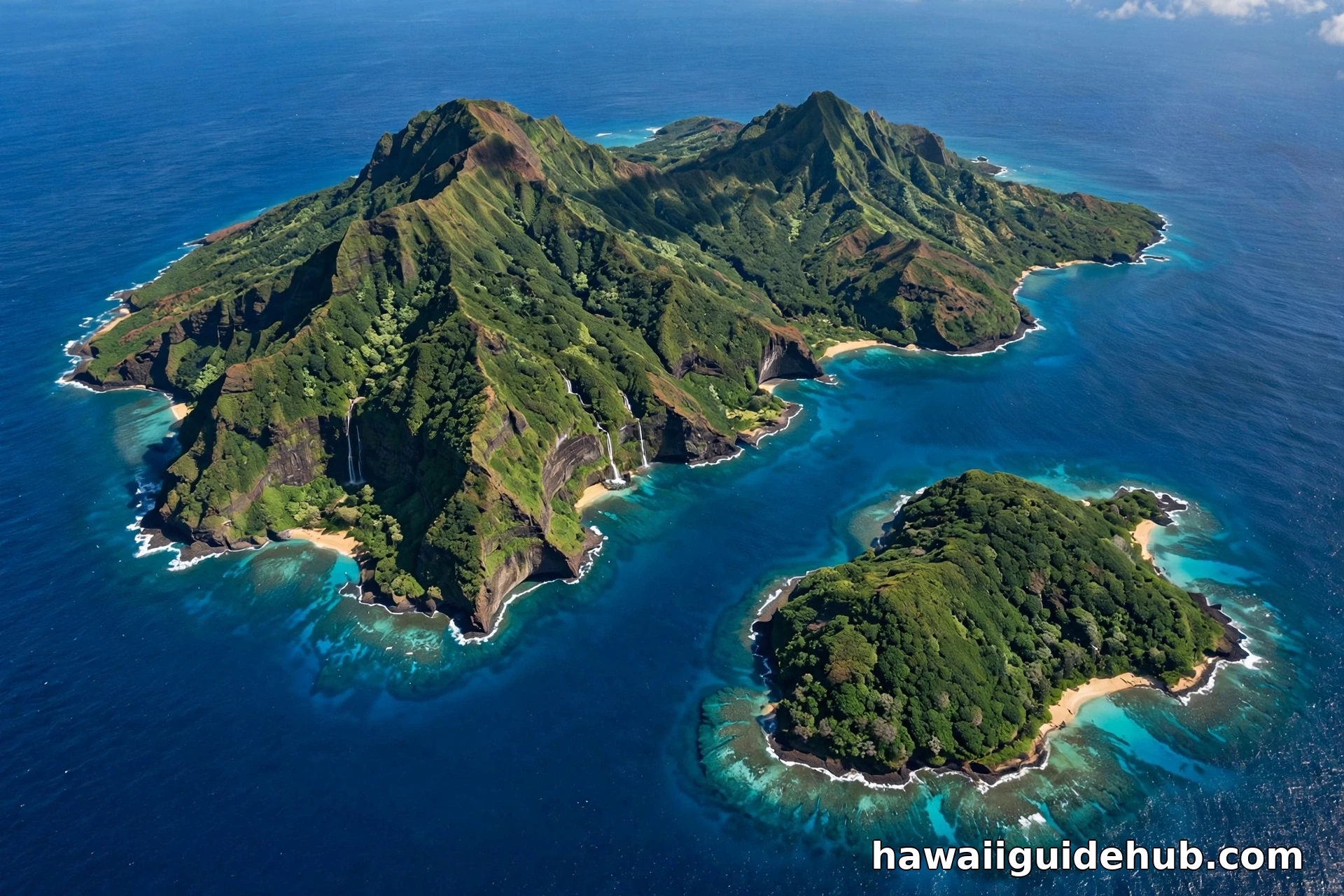
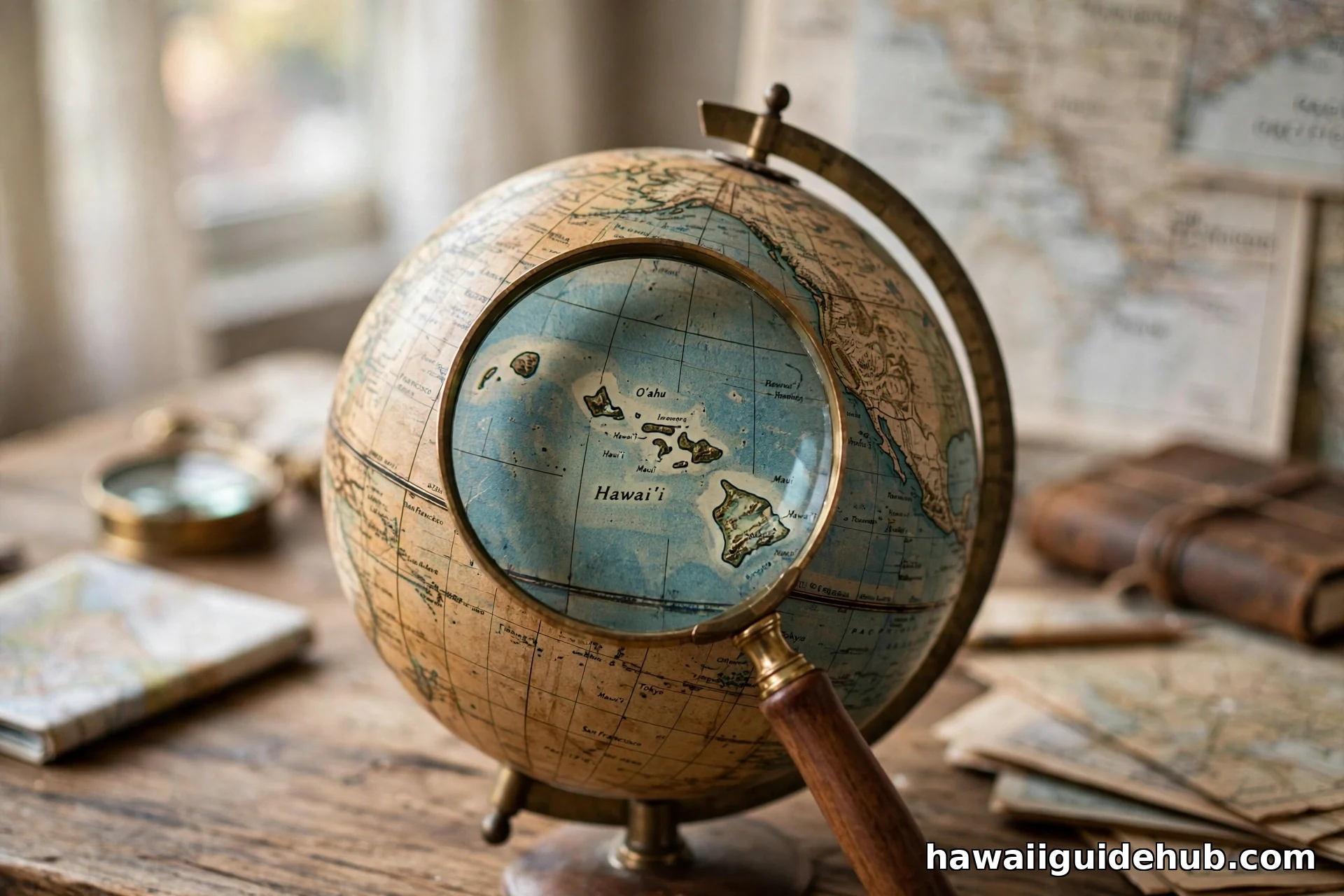
Hawaii is an archipelago of 137 islands stretching 1,500 miles across the North Pacific, centered around 20 degrees north latitude. The eight main islands run from Niʻihau in the northwest to the Big Island in the southeast. Honolulu sits about 2,400 miles from Los Angeles, 3,800 miles from Tokyo, and 4,900 miles from Sydney. It is the most isolated population center on the planet: no other place with cities is farther from a continent. The islands were built by a volcanic hotspot punching through the Pacific Plate, and the Big Island is still growing today.
Exactly Where the Caribbean Is
The Caribbean is the sea and island region in the western Atlantic, southeast of the Gulf of Mexico and Florida, east of Central America, and north of South America. It includes island nations like Jamaica, the Bahamas, Puerto Rico, and the Dominican Republic. San Juan, Puerto Rico is about 1,000 miles southeast of Miami. The Caribbean is roughly 5,000 miles east of Hawaii across the entire North American continent. You cannot get from one to the other without crossing a continent or flying halfway around the hemisphere.
Hawaii vs the Caribbean, Side by Side
| Feature | Hawaii | The Caribbean |
| Ocean | Central Pacific | Western Atlantic |
| Distance from US mainland | About 2,400 miles SW of California | About 1,000 miles SE of Florida |
| US state? | Yes, the 50th state (1959) | Only Puerto Rico and USVI are US territories |
| Cultural roots | Polynesian | African, European, and Indigenous Caribbean |
| Time zone | Hawaii Standard Time (UTC-10), no daylight saving | Atlantic/Eastern, various |
| Flight from Los Angeles | About 5 hours | About 5-6 hours eastward |
Why Everyone Gets Confused
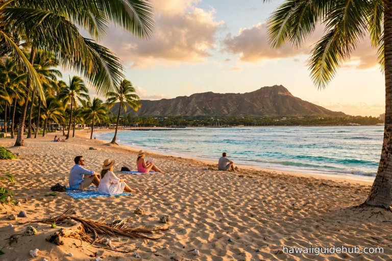
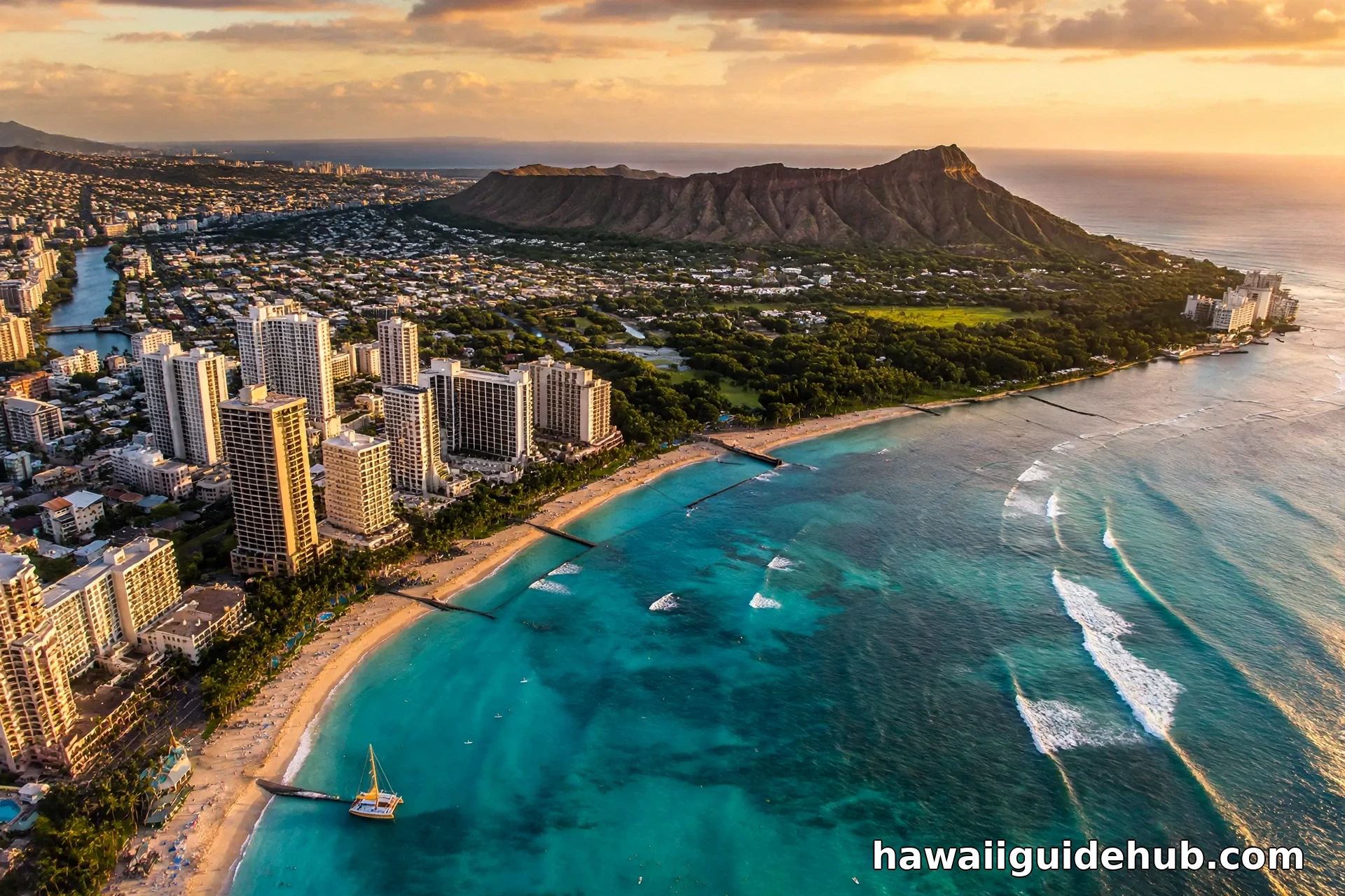
The confusion has honest roots. Both regions sell the same postcard: turquoise water, palm trees, tropical drinks. Both are warm in winter when the mainland freezes. Both are deeply associated with American vacation culture. Travel marketing lumps “tropical island getaway” into one mental folder. And many Americans learn Caribbean geography from cruises and Hawaii geography from movies, never placing either on a real map. The result: a surprising number of people picture Hawaii floating somewhere near Jamaica. It is not. It is closer to Tokyo than to Miami.
Polynesia, Not the Caribbean: The Cultural Truth
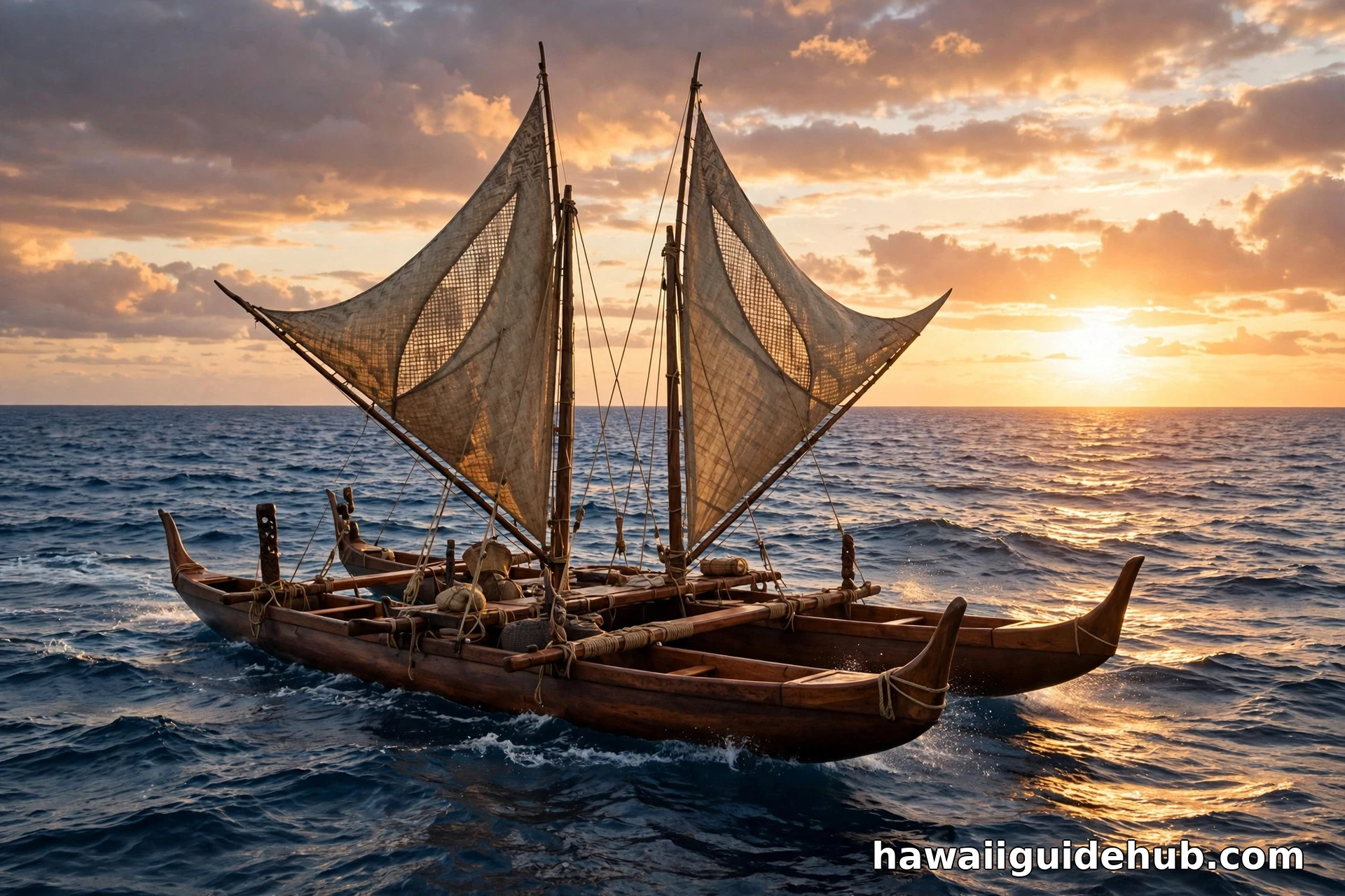
The deeper answer is cultural. Hawaii’s people, language, and traditions are Polynesian: the islands were settled by voyagers from the Marquesas and Tahiti around 1,500 years ago, navigating by stars across thousands of miles of open ocean. The Hawaiian language is Polynesian, related to Samoan, Tahitian, and Maori. The hula, the voyaging canoes, the ahupuaʻa land system: all Polynesian. The Caribbean’s cultures grew from African, European, and Indigenous American roots. Calling Hawaii Caribbean erases the Polynesian heritage that is the islands’ actual identity.
Politically American, Geographically Oceanian
Here is the nuance worth knowing. Politically, Hawaii is American: the 50th state since August 21, 1959, with full representation and U.S. citizenship. Geographically and ethnologically, it belongs to Oceania, the Pacific world. This dual identity confuses people into reaching for the wrong map: if it is American and tropical, the thinking goes, it must be near Florida. But America is bigger than its mainland: the United States stretches from the Caribbean (Puerto Rico, U.S. Virgin Islands) to the central Pacific (Hawaii, Guam). Hawaii is the Pacific end of that reach.
For the history behind the 50th star, see Hawaii’s history before the 50th star, do you need a passport to fly to Hawaii, and the best island in Hawaii for first-time visitors.
The Numbers: Distances That Tell the Story
Distances end the argument. Honolulu to Los Angeles: about 2,400 miles. Honolulu to San Juan, Puerto Rico: about 5,000 miles. Honolulu to Miami: about 4,800 miles. Honolulu to Tokyo: about 3,800 miles. Hawaii is closer to Japan than to Florida, and closer to Alaska than to the Caribbean. The Hawaiian archipelago itself spans 1,500 miles of Pacific. These are not neighboring regions with a blurry border; they are opposite ends of the hemisphere’s tropical belt.
What the Caribbean Actually Is
The Caribbean is the sea enclosed by the West Indies island arc, bordered by Florida, the Gulf of Mexico, Central America, and South America. Its islands divide into the Greater Antilles (Cuba, Jamaica, Hispaniola, Puerto Rico) and the Lesser Antilles (the long arc of smaller islands), plus the Bahamas and others. The region’s name comes from the Carib peoples. Its modern cultures blend African, European, and Indigenous roots, its music is reggae, salsa, and calypso, and its colonial history is Spanish, French, British, and Dutch. None of this overlaps with Hawaii except the sunshine.
Hawaii’s Real Neighbors
If not the Caribbean, then who is near Hawaii? Nobody, really: that is the point. The closest significant landmasses are the U.S. West Coast (2,400 miles east), Japan (3,800 miles west), and Alaska (3,000 miles north). The nearest island groups are in French Polynesia and the Line Islands, still over a thousand miles of open ocean away. Hawaii’s true neighbors are the other Polynesian islands: Tahiti, Samoa, the Marquesas, the homelands of the voyagers who settled Hawaii. The Pacific is Hawaii’s neighborhood, and it is mostly water.
The Volcano Difference
Geology separates them too. Hawaii is a hotspot archipelago: a plume of magma punching through the middle of the Pacific Plate, building islands in a conveyor-belt chain. The Big Island is still growing; the islands to the northwest are eroding back into the sea. Much of the Caribbean is also volcanic, but from a different process: subduction zones where tectonic plates collide. The result looks different: Hawaii’s broad shield volcanoes versus the Caribbean’s steep stratovolcanoes. Different oceans, different geology, different islands.
Time Zones Tell the Tale
Time zones make the distance visceral. Hawaii runs on Hawaii Standard Time, UTC-10, and never observes daylight saving: it is 3 hours behind California, 5 behind New York. The Caribbean runs on Atlantic and Eastern time, UTC-4 to UTC-5: San Juan is 1 hour ahead of New York. When it is noon in Honolulu, it is 6 PM in San Juan. Six hours of sun separate them. You cannot be in the same region as somewhere six time zones away.
The Passport Question
Here is a practical difference travelers feel. U.S. citizens need no passport for Hawaii: it is a domestic flight, like flying to Florida. For most Caribbean islands, you need a passport: they are foreign countries. Puerto Rico and the U.S. Virgin Islands are the exceptions, being U.S. territories. If your “tropical island trip” requires a passport, it is probably the Caribbean. If it does not, it might be Hawaii. The document in your pocket knows the geography even when the brochure does not.
Why the Myth Matters
Does it matter if someone thinks Hawaii is in the Caribbean? Yes, a little. It flattens two distinct cultures into one generic “tropical island” stereotype, erasing the Polynesian heritage that makes Hawaii what it is. It leads travelers to expect Caribbean things in Hawaii: all-inclusive resorts, reggae bars, a certain beach culture, and to miss the actual Hawaii: the voyaging heritage, the taro fields, the volcanoes, the Hawaiian language. Getting the map right is the first step to getting the place right.
The Statehood Story, Briefly
Hawaii’s American chapter explains part of the confusion. The islands were an independent kingdom until 1893, a republic, then a U.S. territory from 1898, and finally the 50th state on August 21, 1959. Statehood made Hawaii politically American while leaving it geographically Polynesian. Americans learned to think of it as “one of us” without learning where “us” was. The Caribbean territories took a different path: Puerto Rico and the U.S. Virgin Islands remain territories, not states. Two tropical regions, two different relationships with Washington, an ocean apart.
What to Say When Someone Gets It Wrong
Be kind: the confusion is common and the correction is easy. “Hawaii is in the Pacific, about five hours from California by plane. The Caribbean is in the Atlantic, near Florida. They’re about 5,000 miles apart.” Add the fun fact: Hawaii is closer to Japan than to Miami. Nobody feels foolish learning this; most people are delighted. Geography is full of these corrections, and this one comes with palm trees either way.
Visiting Both: The Comparison Trip
The best cure for the confusion is to visit both. Go to the Caribbean for the rum, the reefs, the colonial towns, and the reggae. Go to Hawaii for the volcanoes, the Polynesian culture, the surf, and the most isolated islands on earth. Notice how different the food is, how different the music is, how different the history feels. They are both tropical and both wonderful, and they have almost nothing in common. That is the whole point: the tropics are not one place.
The Isolation Record
Hawaii holds a record the Caribbean never could: the most isolated archipelago on earth. Before humans arrived, a new species reached Hawaii roughly once every 35,000 years: a seed on the wind, a bird blown off course, an insect on driftwood. That extreme isolation built the islands’ famous endemism: nine out of ten native Hawaiian species exist nowhere else. The Caribbean, close to two continents, was never this cut off. Isolation is Hawaii’s defining geographic fact, and it is the opposite of the Caribbean’s connected, crossroads position.
Video: Where Is Hawaii?
Where is Hawaii on the world map: the Pacific location explained.
Frequently Asked Questions
Is Hawaii in the Caribbean?
No. Hawaii is in the central Pacific Ocean; the Caribbean is in the Atlantic.
How far is Hawaii from the Caribbean?
Roughly 5,000 miles, across the North American continent.
What ocean is Hawaii in?
The Pacific Ocean, in its central northern region.
Is Hawaii closer to California or Japan?
California: about 2,400 miles to Los Angeles versus about 3,800 to Tokyo.
What continent is Hawaii on?
None, geographically: it is an oceanic island chain in Oceania (Polynesia). Politically it is part of North America as a U.S. state.
Why do people think Hawaii is in the Caribbean?
Both are tropical American vacation icons with beaches and palm trees, and most people never place either on a real map.
Hawaii is not in the Caribbean, near the Caribbean, or anything like the Caribbean: it is a Polynesian archipelago in the middle of the Pacific, the most isolated islands on earth, with a culture and history all its own. Knowing where Hawaii really is does not just fix a geography error; it opens the door to understanding what the islands actually are. And the next time someone asks, you will have the answer ready: 2,400 miles southwest of California, in the middle of the biggest ocean on the planet.