
Kauaʻi Map
On This Page
- Kauaʻi at a Glance
- Map: Regions and Districts
- Key Towns
- Driving Routes and Distances
- Top Attractions by Region
- Beaches by Coast
- Airport and Getting Around
- Frequently Asked Questions
- Related Guides
Kauaʻi at a Glance
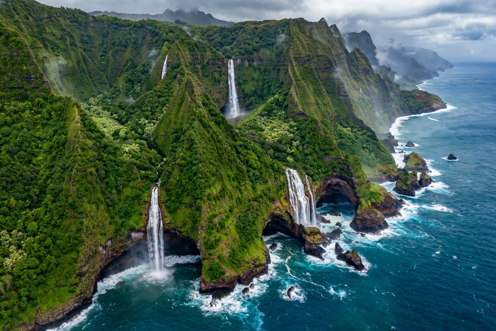
Kauaʻi is the oldest and northernmost of the main Hawaiian Islands, and its age shows in the best possible way. Roughly five million years of wind, rain, and erosion have carved the island into one of the most dramatic landscapes on the planet: cathedral-like sea cliffs along the Nāpali Coast, the mile-deep gash of Waimea Canyon, and the mist-soaked summit of Mount Waiʻaleʻale, long considered one of the wettest places on Earth. Hawaiians call it the Garden Isle, and the nickname is earned the moment you leave the airport and see the emerald ridgelines rising on every horizon.
At about 562 square miles, Kauaʻi is the fourth largest island in the chain, but it feels smaller and more rural than its size suggests. The population hovers around 73,000 residents, most of them concentrated on the east and south sides. There is no road that circles the entire island. The highway system runs like a horseshoe: Kūhiō Highway (Route 56) traces the east coast from Līhuʻe up through the North Shore to the end of the road at Keʻe Beach, while Kaumualiʻi Highway (Route 50) runs west and south from Līhuʻe through the agricultural plains to Waimea and on to the end of the road at Polihale State Park. Between the two ends of the road lies the Nāpali Coast, reachable only on foot, by boat, or from the air.
That single fact shapes every Kauaʻi trip. The island rewards travelers who plan by region rather than trying to see everything from one base. The North Shore is lush, rainy, and cinematic. The East Side, called the Coconut Coast, is the island’s commercial spine. The South Shore around Poʻipū is the sunniest and driest, with the most resort development. The West Side is rural plantation country, home to Waimea Canyon and the gateway to Polihale. Reading a Kauaʻi map with these regions in mind is the single most useful skill a first-time visitor can develop.
Kauaʻi’s weather follows the same windward-leeward pattern as the other islands. Trade winds blow from the northeast, dumping rain on the North Shore and the interior mountains while the South Shore and West Side stay drier and sunnier. The difference is sharper here than anywhere else in the state because Waiʻaleʻale wrings moisture out of nearly every passing cloud. If it is raining in Hanalei, there is a good chance it is sunny in Poʻipū, and the reverse is rarely true. Checking the forecast by region, not by island, is a habit worth building.
Historically, Kauaʻi stands apart from the other islands. It was never conquered by Kamehameha the Great, the only major island to avoid that fate, and it retains a distinctive cultural identity. The island’s taro fields in Hanalei Valley have been cultivated for roughly a thousand years. The Menehune Fishpond near Līhuʻe, an ancient Hawaiian aquaculture structure, is estimated to be about 1,000 years old. These are not museum pieces but living places, and the map below helps you find them with the respect they deserve.
Map: Regions and Districts
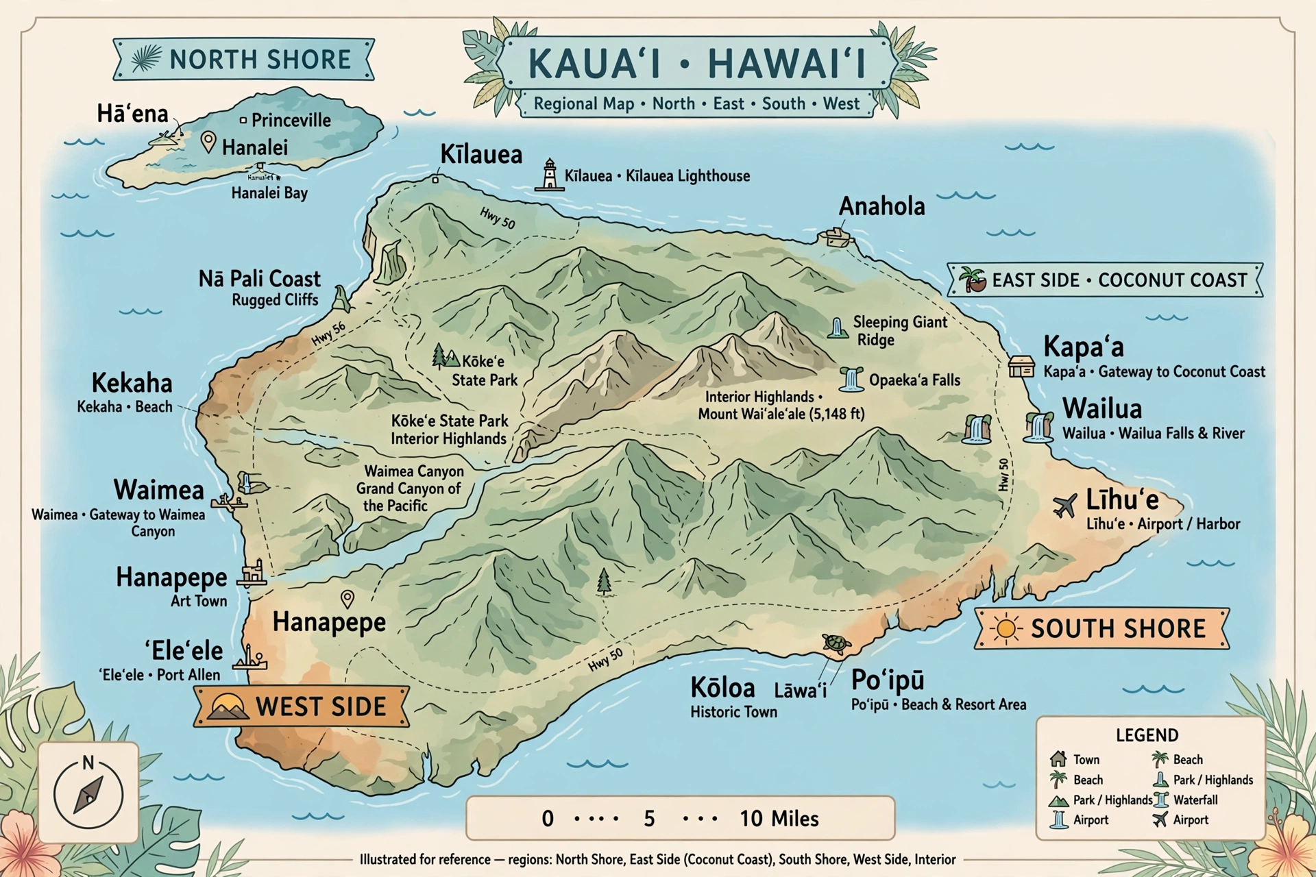
Kauaʻi divides naturally into five regions, and nearly every planning decision you make, from where to stay to which beaches to visit, flows from this geography. Here is how to read the island region by region.
The North Shore
The North Shore runs from Princeville west to the end of the road at Keʻe Beach, taking in Hanalei, Wainiha, and Hāʻena along the way. This is the wettest, greenest, and most visually dramatic part of the island. Mount Makana, the flat-topped peak the 1958 film South Pacific made famous as Bali Hai, rises over Hanalei Bay. Tarō loʻi patchwork the Hanalei Valley floor. Waterfalls thread the cliffs after every rain.
The North Shore’s beauty comes with logistical realities. The two-lane Kūhiō Highway narrows to single-lane bridges in several spots, and the entire region can be cut off by flooding during major storms, as happened in April 2018. Since 2019, Hāʻena State Park has required advance entry or parking reservations through the official state system, with no drive-up entry. If Keʻe Beach, Tunnels Beach, or the Kalalau Trail trailhead are on your list, the reservation is the single most important booking on your trip. Our Hanalei Bay map, Hanalei town map, Tunnels Beach guide, and Lumahaʻi Beach map cover this region in detail.
The East Side (Coconut Coast)
The East Side runs from Līhuʻe north through Wailua, Kapaʻa, and Anahola. This is the island’s population center and commercial corridor, where you will find the most grocery stores, restaurants, and services. Kūhiō Highway is a proper multi-lane road here, and drive times are short. The Wailua River, one of only two navigable rivers in Hawaiʻi, defines the region, with the Fern Grotto, Wailua Falls, and the Sleeping Giant (Nounou Mountain) all within a few miles of each other.
The East Side is the most practical base for travelers who want to explore the whole island, since it sits roughly midway between the North Shore and the South Shore. Kapaʻa has the island’s liveliest walkable town strip outside of Hanalei. The trade winds hit this coast first, so mornings are typically the calmest and clearest part of the day.
The South Shore
The South Shore centers on Poʻipū and stretches from Kōloa east toward the Māhāʻulepū coastline. This is Kauaʻi’s sun belt, the driest and sunniest region, with the highest concentration of resorts, condos, and golf courses. Poʻipū Beach Park regularly appears on best-beach lists and offers reliable snorkeling in the calm summer months. Spouting Horn, a natural blowhole near Kōloa, and the National Tropical Botanical Garden’s McBryde and Allerton Gardens anchor the region’s non-beach attractions.
The South Shore’s leeward position makes it the safest bet for visitors who want consistent beach weather. It is also the closest region to Līhuʻe Airport after the East Side, about a 25 to 35 minute drive.
The West Side
The West Side runs from Kōloa and Kalāheo west through Waimea to the end of the road at Polihale. This is plantation country: vast former sugar fields, the small historic town of Waimea (where Captain James Cook first landed in Hawaiʻi in 1778), and the gateway to Waimea Canyon and Kōkeʻe State Park. The landscape turns drier and more open as you head west, and the coastline culminates in the 17-mile sweep of Polihale Beach, one of the longest beaches in Hawaiʻi.
The West Side feels the most rural and least touristed of Kauaʻi’s regions. It is also where you will find the island’s most extreme driving: the winding ascent of Waimea Canyon Drive and the five-mile dirt road into Polihale, which requires a high-clearance vehicle.
The Interior
Kauaʻi’s interior is dominated by the Alakaʻi Plateau, one of the largest high-elevation swamps in the world and home to native birds found nowhere else. Mount Waiʻaleʻale, at 5,148 feet, anchors the plateau, while nearby Kawaikini, at 5,243 feet, is technically the island’s highest point. The interior is largely inaccessible except via Waimea Canyon Drive, the Kōkeʻe area trails, and the Pihea and Alakaʻi Swamp trails. Most visitors experience the interior from overlooks rather than on foot, and that is the right call for all but experienced, well-prepared hikers.
Key Towns
Līhuʻe
Līhuʻe is Kauaʻi’s county seat and the island’s main gateway, home to Līhuʻe Airport (LIH) and Nāwiliwili Harbor, the island’s cruise port. It is a working town rather than a resort town: county offices, the Kauaʻi Museum at 4428 Rice Street, the historic Grove Farm homestead, and Kilohana Plantation sit alongside everyday services. Most visitors pass through Līhuʻe without staying, but it deserves at least a half day for the museum and a drive past the Menehune Fishpond (Alekoko) on the Huleʻia River. See our Līhuʻe map for the full area guide.
Hanalei
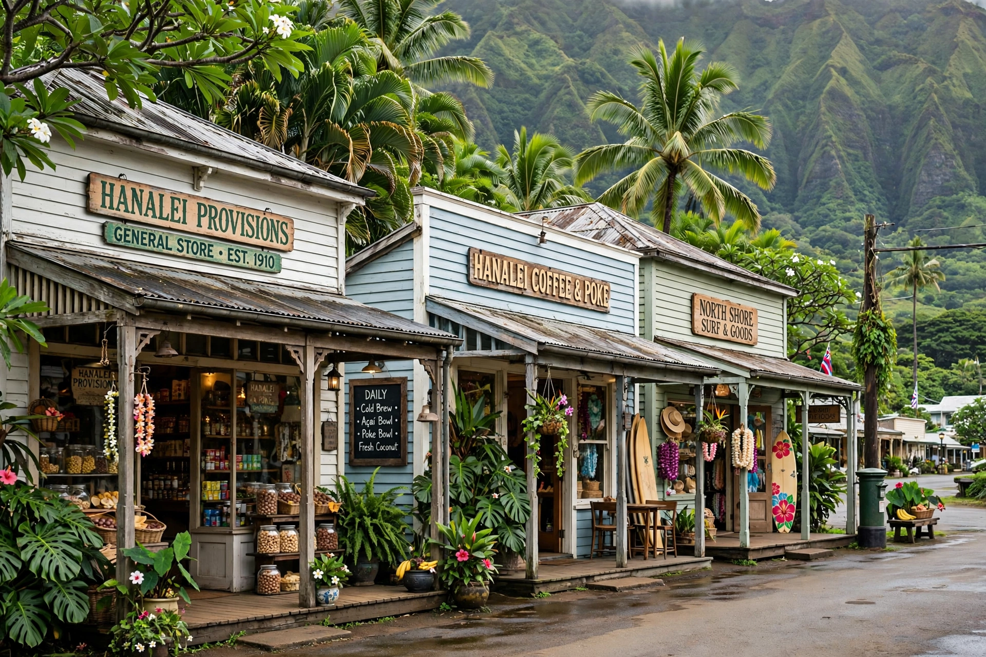
Hanalei is the North Shore’s beloved historic town, a single walkable strip of plantation-era storefronts along Kūhiō Highway between the bay and the valley. The Waiʻoli Huiʻia Church (1834) and the adjacent mission house anchor its history, while shave ice stands, galleries, and the farmers market anchor its present. Hanalei is also the last full-service town before the road narrows toward Hāʻena and Keʻe, so it functions as the staging point for Nāpali Coast adventures. See our Hanalei map and Hanalei Bay map.
Poʻipū
Poʻipū is the South Shore’s resort hub, built around a string of small beaches and coves rather than a traditional town center. Poʻipū Beach Park is the anchor, with lifeguards, facilities, and a protected keiki (children’s) swimming area. The nearby town of Kōloa, a former plantation village, provides the historic-town experience with shops and restaurants in restored buildings. Poʻipū gets the island’s most consistent sunshine, which is why it draws the most first-time visitors.
Kapaʻa
Kapaʻa is the East Side’s main town and the island’s most walkable commercial strip after Hanalei. The coastal path (Ke Ala Hele Makalae) runs for miles along the shore here, popular with walkers, joggers, and cyclists. Kapaʻa works well as a base for travelers who want restaurants and shops within walking distance without resort prices. The Sleeping Giant trailhead sits just west of town.
Waimea
Waimea is the West Side’s historic town, notable as the landing site of Captain Cook’s 1778 expedition, the first recorded European contact with Hawaiʻi. Today it is a quiet plantation town that serves as the gateway to Waimea Canyon: Waimea Canyon Drive begins here and climbs 3,000 feet in about 14 miles. The town has basic services, a few restaurants, and the West Kauaʻi Technology and Visitor Center.
Princeville
Princeville is a planned resort community on the bluffs above Hanalei Bay, named for Prince Albert Kamehameha. It sits at the transition between the East Side and the North Shore, about 10 minutes from Hanalei town. The Hanalei Valley Lookout, with its famous view of the taro fields and waterfall-laced cliffs, sits just off the highway here. Princeville offers North Shore scenery with resort-style lodging and two well-known golf courses.
Driving Routes and Distances
Driving is the only practical way to see Kauaʻi. The Kauaʻi Bus exists and serves the main highway corridors, but frequencies are low and the routes do not reach trailheads, canyon lookouts, or the ends of the road. A rental car is effectively essential.
The Two Highways
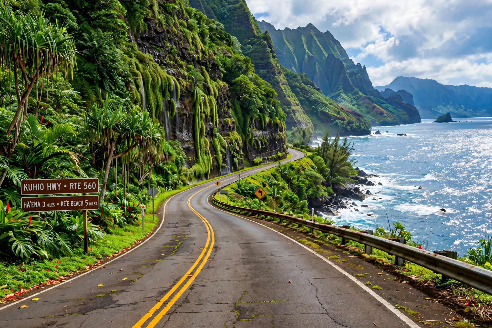
Kūhiō Highway (Routes 56 and 560) runs north from Līhuʻe along the East Side and the North Shore to Keʻe Beach, a total of about 40 miles. It is multi-lane through the East Side, narrows to two lanes past Princeville, and narrows further to single-lane bridges in several spots between Hanalei and Keʻe. Traffic backs up at the bridges during peak hours, and the entire North Shore segment can close during major floods.
Kaumualiʻi Highway (Route 50) runs west and south from Līhuʻe through Kalāheo and Kōloa country to Waimea and on to the end of the road near Polihale, about 35 miles. Waimea Canyon Drive (Route 550) branches off at Waimea town and climbs to the canyon lookouts and Kōkeʻe State Park. The five-mile dirt road from the end of Route 50 to Polihale State Park requires high clearance and is impassable when wet.
Approximate Drive Times
| Route | Distance | Drive Time |
|---|---|---|
| Līhuʻe Airport to Poʻipū | ~14 miles | 25 to 35 minutes |
| Līhuʻe Airport to Kapaʻa | ~8 miles | 15 to 20 minutes |
| Līhuʻe Airport to Hanalei | ~32 miles | 55 to 70 minutes |
| Līhuʻe Airport to Princeville | ~28 miles | 50 to 60 minutes |
| Līhuʻe Airport to Waimea town | ~27 miles | 40 to 50 minutes |
| Waimea town to Waimea Canyon Lookout | ~14 miles | 35 to 45 minutes |
| Waimea town to Polihale (end of paved road) | ~8 miles | 20 to 30 minutes |
| Hanalei to Keʻe Beach | ~8 miles | 20 to 30 minutes |
| Poʻipū to Waimea Canyon Lookout | ~35 miles | 1 hour 15 minutes to 1 hour 30 minutes |
| Līhuʻe to the North Shore (full traverse) | ~40 miles | 1 hour 15 minutes to 1 hour 45 minutes |
These are fair-weather estimates. Add time for the single-lane bridges north of Hanalei, for tour buses on Waimea Canyon Drive, and for the inevitable photo stops. The morning rule applies to driving as well as beaches: the earlier you leave, the less traffic and the better the light.
Top Attractions by Region
North Shore: Nāpali Coast and Hāʻena
The Nāpali Coast is Kauaʻi’s signature sight: 16 miles of fluted sea cliffs, sea caves, and hanging valleys accessible only on foot via the 11-mile Kalalau Trail, by boat, or by helicopter. The Kalalau Trail begins at Keʻe Beach in Hāʻena State Park, which requires advance entry or parking reservations. Day hikers need a reservation to reach Hanakāpīʻai Beach (4 miles round trip); continuing to Hanakoa or Kalalau requires an overnight camping permit. Limahuli Garden and Preserve, a National Tropical Botanical Garden site in Hāʻena, protects native plants in a stunning valley setting and pairs well with a Keʻe Beach day.
West Side: Waimea Canyon and Kōkeʻe
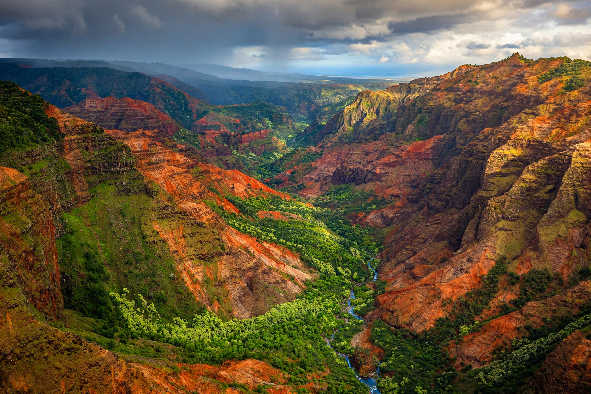
Waimea Canyon stretches about 14 miles long and up to 3,600 feet deep, carved by the Waimea River through layers of red and green volcanic rock. Mark Twain’s famous description of it as the Grand Canyon of the Pacific still holds. The main lookouts sit along Waimea Canyon Drive, with the most expansive views from the upper lookouts near Kōkeʻe State Park. Kōkeʻe adds native forest, the Kōkeʻe Museum, and trailheads including the Pihea Trail to the Alakaʻi Swamp and the Awaʻawapuhi Trail to a 2,500-foot Nāpali overlook.
East Side: Wailua River and Waterfalls
The Wailua River corridor packs an unusual density of sights into a few miles. The Fern Grotto, a lava-rock amphitheater draped in ferns, is reachable only by river boat. Wailua Falls, at 80 feet, is visible from a roadside lookout. ʻŌpaekaʻa Falls, at 151 feet, has its own lookout a short drive away. The Sleeping Giant (Nounou Mountain) trail climbs 1,000 feet to panoramic East Side views. The Menehune Fishpond near Līhuʻe, visible from the Huleʻia National Wildlife Refuge overlook, is one of Hawaiʻi’s most significant ancient aquaculture sites.
South Shore: Gardens and Geology
The South Shore’s headline attractions are gentler than the canyon and the Nāpali Coast but no less worthwhile. Spouting Horn, near Kōloa, is a lava-tube blowhole that performs best at high surf. The National Tropical Botanical Garden’s McBryde and Allerton Gardens in the Lāwaʻi Valley showcase native and introduced tropical plants in a historic estate setting. The Māhāʻulepū coastline east of Poʻipū offers sea cliffs, the Makauwahi Cave Reserve (Hawaiʻi’s largest limestone cave, with a fascinating fossil record), and a scenic coastal walk.
Kīlauea Point
On the northeast coast between the East Side and the North Shore, the Daniel K. Inouye Kīlauea Point Lighthouse stands on a dramatic headland within the Kīlauea Point National Wildlife Refuge. The refuge protects nesting seabirds including red-footed boobies, Laysan albatross, and wedge-tailed shearwaters, and the point is one of the island’s best land-based whale watching spots in winter. Advance reservations are required for entry.
Beaches by Coast
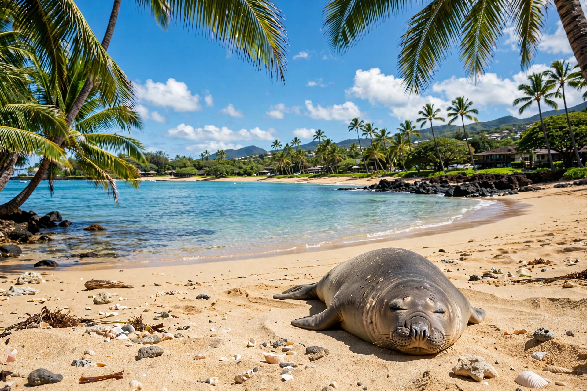
Kauaʻi’s beaches change character completely by coast and by season. The North Shore beaches are calm and swimmable in summer (May through September) and dangerously powerful in winter (October through April), when large swells can make even wading unsafe. The South Shore follows the opposite pattern, calmer in winter. The East Side is breezy year-round with variable conditions. Always check the surf forecast before entering the water, and never turn your back on the ocean.
North Shore
Hanalei Bay’s two-mile crescent is the North Shore’s anchor, calm in summer and a serious surf break in winter. Tunnels Beach (Mākua Beach) offers the island’s best snorkeling in calm summer conditions, with a horseshoe reef full of marine life. Keʻe Beach, at the end of the road, has a protected lagoon and the Kalalau Trail trailhead. Lumahaʻi Beach is spectacular to look at and dangerous to swim in; treat it as a scenic stop. Our detailed guides cover Hanalei Bay, Tunnels Beach, and Lumahaʻi Beach individually.
East Side
The East Side’s beaches are less famous but worth knowing. Lydgate Beach Park in Wailua has a protected rock-enclosed swimming area popular with families. Kapaʻa’s beaches are better for walking and sunrise than swimming. Anahola Beach Park is a local favorite with a protective reef.
South Shore
Poʻipū Beach Park is the South Shore’s centerpiece, with lifeguards, facilities, and sections for swimming, snorkeling, and beginner surfing. Brennecke’s Beach, just east, has a famous bodysurfing shorebreak for experienced wave riders only. Shipwreck Beach (Keoneloa Bay) fronts the cliffs east of Poʻipū and offers dramatic scenery with strong currents. Māhāʻulepū’s Gillin’s Beach and Kawailoa Bay are wilder and more remote.
West Side
Polihale State Park’s 17-mile beach is one of the longest in Hawaiʻi, with enormous dunes and views of the Nāpali Coast’s southern end. Swimming is hazardous due to strong currents and a steep shorebreak. Kekaha Beach Park, closer to Waimea town, is the West Side’s main swimming beach with lifeguards. Salt Pond Beach Park in Hanapēpē is a protected, family-friendly favorite with a natural rock-enclosed swimming area.
For the statewide picture, see our Hawaii beaches guide.
Airport and Getting Around
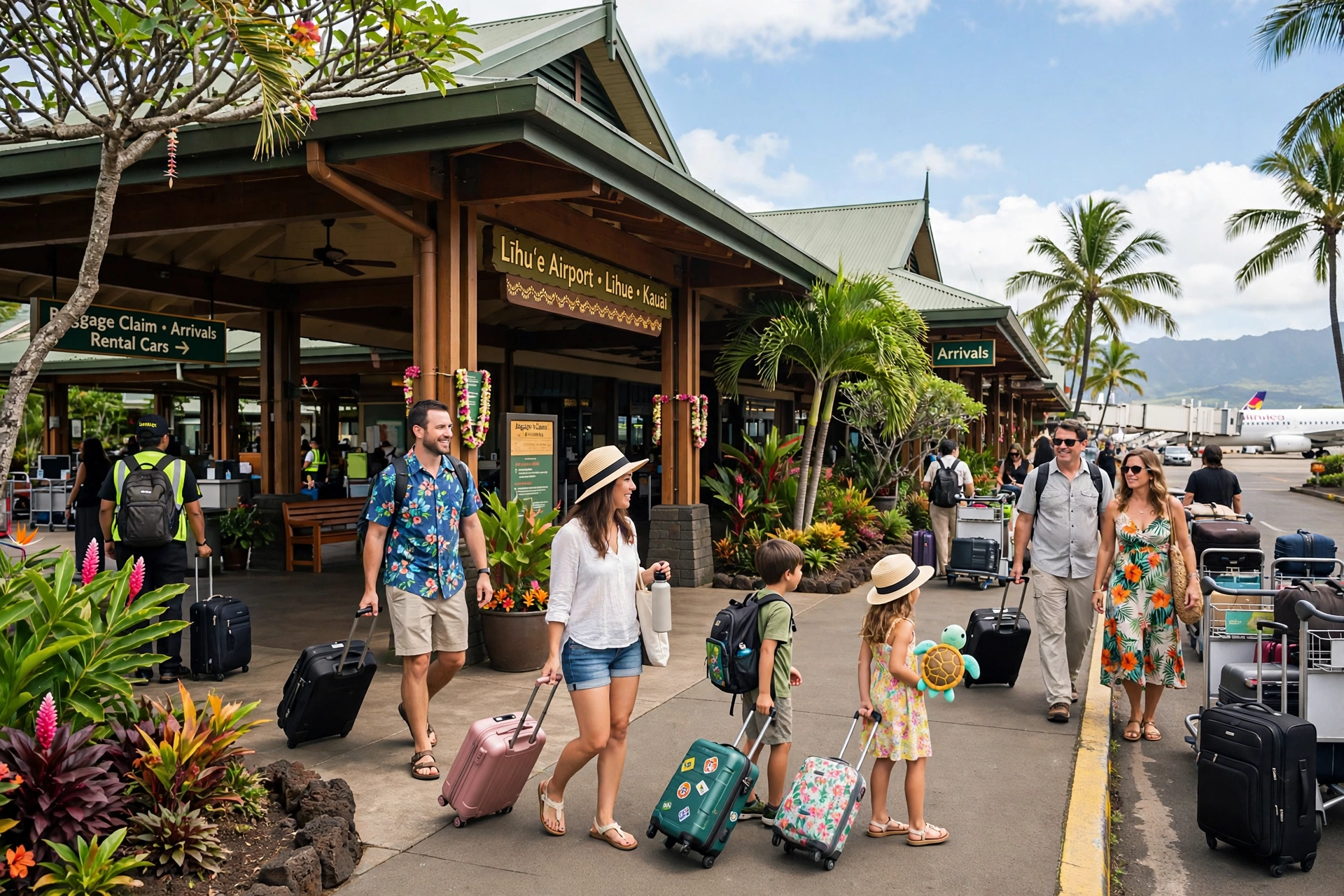
Līhuʻe Airport (LIH) is Kauaʻi’s only commercial airport, located on the island’s southeast coast just outside Līhuʻe town. It is a small, open-air facility: a single terminal with outdoor walkways, which means arriving passengers step directly into warm tropical air. Inter-island flights connect Līhuʻe with Honolulu, Kahului, Kona, and Hilo, and direct mainland flights serve the West Coast and beyond.
The rental car facilities sit just outside the terminal, and booking in advance is strongly advised, especially for convertibles and larger vehicles in peak season. Taxis, rideshares, and hotel shuttles serve the terminal, and the Kauaʻi Bus stops nearby. All arriving passengers pass through the state agricultural inspection, so declare any fresh produce, plants, or animals.
Nāwiliwili Harbor in Līhuʻe is the island’s cruise port, within walking distance of Kalapakī Beach. Once on island, the rental car is your transport: distances are short by mainland standards, but the road network is a horseshoe with no shortcuts through the interior. Plan fuel stops in the larger towns, since stations are sparse on the West Side and past Hanalei.
Frequently Asked Questions
Where is Kauaʻi on the map?
Kauaʻi is the northernmost of the main Hawaiian Islands, about 100 miles northwest of Oʻahu across the Kauaʻi Channel. It sits at roughly 22 degrees north latitude in the central Pacific Ocean.
How big is Kauaʻi?
Kauaʻi covers about 562 square miles, making it the fourth largest Hawaiian island after the Big Island, Maui, and Oʻahu. It measures roughly 33 miles long and 25 miles wide.
Can you drive around the entire island of Kauaʻi?
No. The highway system forms a horseshoe, with Kūhiō Highway ending at Keʻe Beach on the North Shore and Kaumualiʻi Highway ending near Polihale on the West Side. The Nāpali Coast between them has no road and is reachable only on foot, by boat, or by air.
What is the best side of Kauaʻi to stay on?
It depends on your priorities. The South Shore (Poʻipū) has the most consistent sunshine and resort amenities. The North Shore (Hanalei, Princeville) has the most dramatic scenery but more rain and stricter logistics. The East Side (Kapaʻa, Wailua) is the most central and practical base for exploring the whole island.
Do I need a rental car on Kauaʻi?
Effectively yes. The Kauaʻi Bus serves the main highway corridors but does not reach trailheads, canyon lookouts, or the ends of the road. A rental car booked in advance is the standard and most practical way to see the island.
What is the rainiest part of Kauaʻi?
Mount Waiʻaleʻale in the island’s interior is famously one of the wettest places on Earth, historically averaging over 400 inches of rain per year. The North Shore is the wettest inhabited region, while the South Shore and West Side are the driest.
Do I need reservations for Hāʻena State Park?
Yes. Hāʻena State Park, which includes Keʻe Beach and the Kalalau Trail trailhead, requires advance entry or parking reservations through the official state system. There is no drive-up entry. Book as early as your dates allow.
Can you drive to Polihale Beach in a regular rental car?
The five-mile dirt road to Polihale requires high clearance and becomes impassable when wet. Most rental agreements prohibit driving it, and getting stuck can be expensive. Check your rental terms and current road conditions before attempting it.
What is the best time of year to visit Kauaʻi?
There is no bad month, but the trade-offs are real. Summer (May through September) brings calmer North Shore seas and drier weather island-wide. Winter (October through April) brings big North Shore surf, whale season from December through April, and more rain. Shoulder months like April, May, September, and October often offer the best balance.
Is Kauaʻi good for first-time Hawaiʻi visitors?
Kauaʻi suits travelers who value scenery and a slower pace over nightlife and shopping. It is quieter and more rural than Oʻahu or Maui, with fewer rainy-day alternatives. First-timers who plan by region and book key reservations early tend to love it.
Related Guides
- Hanalei Bay Map: Complete Reference Map and Area Guide
- Hanalei Map: Complete Reference Map and Area Guide
- Līhuʻe Map: Complete Reference Map and Area Guide
- Where Is Tunnel Beach
- Lumahaʻi Beach Kauaʻi Map: Complete Reference Map and Area Guide
- Hawaii Map: Complete Reference Map and Area Guide
- Hawaii Beaches
- Hawaii Hikes
- Hawaii Snorkeling: Complete Guide
Reading Kauaʻi Like a Local
The most useful thing a Kauaʻi map teaches is restraint. The island looks small on paper, but its weather, roads, and reservation systems reward travelers who pick a region and settle into it rather than racing the horseshoe highway. Spend a morning watching the mist burn off the Hanalei Valley taro fields. Give Waimea Canyon a full day instead of a drive-by. Check the surf forecast the way locals do, by shore and by swell direction, not by island-wide icons.
Kauaʻi’s nickname promises a garden, and gardens reward patience. The travelers who remember that leave with the island’s best souvenir: not a photograph of one more overlook, but an understanding of how the oldest island in the chain still sets its own pace, and invites you to match it.