
Hawaiʻi Map
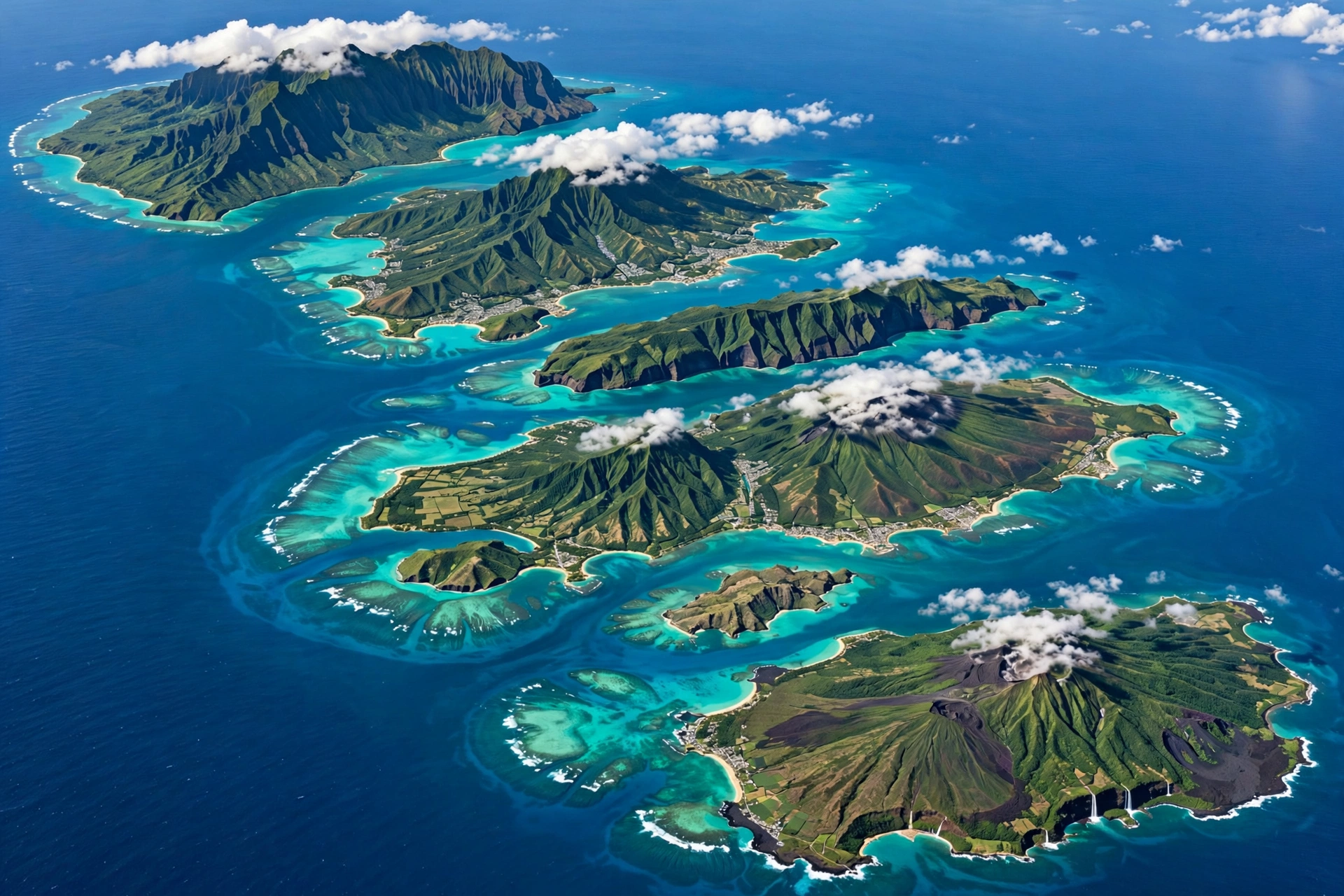
A good Hawaii map is the single most useful planning tool for a trip to the islands. The Hawaiian archipelago looks compact on a world map, but the distances between islands, the size differences among them, and the driving times within each island all shape how a trip unfolds. This guide brings together everything a map can tell you: where each island sits, how the regions within each island are laid out, driving distances, airport locations, and how to use all of it to plan your days.
On This Page
- Hawaii Island Chain Overview
- Oʻahu Regions on the Map
- Maui Regions on the Map
- Kauaʻi Regions on the Map
- Big Island Regions on the Map
- Molokaʻi & Lānaʻi Overview
- Hawaii Driving Distances
- Hawaii Airports Map
- Using Maps for Trip Planning
- Downloading & Printing Maps
- Frequently Asked Questions
- Related Guides
1. Hawaii Island Chain Overview
The State of Hawaiʻi is an archipelago of 137 islands, islets, and atolls stretching roughly 1,500 miles across the central Pacific Ocean. When travelers talk about a Hawaii map, though, they almost always mean the eight main islands at the southeastern end of the chain. These are the islands with permanent communities, visitor infrastructure, and the destinations most trip planning revolves around. From northwest to southeast, they are Niʻihau, Kauaʻi, Oʻahu, Molokaʻi, Lānaʻi, Kahoʻolawe, Maui, and the Island of Hawaiʻi, commonly called the Big Island.
The order of the islands tells a geological story. The entire chain was formed as the Pacific tectonic plate moved northwest over a stationary volcanic hotspot, so the northwestern islands are the oldest and the southeastern islands are the youngest. Kauaʻi, at roughly five million years old, is deeply eroded into dramatic canyons and cliffs. The Big Island, at less than a million years old, is still growing: Kīlauea on its southeastern flank is among the most active volcanoes on earth. This age gradient is visible on any physical Hawaii map. The older islands in the northwest are smaller and more eroded, while the younger islands in the southeast are larger and topographically bolder.
Size differences among the islands are dramatic and trip-shaping. The Big Island covers 4,028 square miles, which is larger than all the other main islands combined. Maui is the second largest at 727 square miles, followed by Oʻahu at 597, Kauaʻi at 552, Molokaʻi at 260, Lānaʻi at 140, Niʻihau at 69, and Kahoʻolawe at 45. On a map these differences are obvious, but many first-time visitors still underestimate what they mean in practice. Driving across the Big Island takes the better part of a day. Driving across Lānaʻi takes under an hour. The number of days each island deserves tracks closely with its size.
Not every island on the map is open to visitors. Niʻihau, known as the Forbidden Island, is privately owned and generally closed to outsiders. Kahoʻolawe is uninhabited and closed to the public, held in trust for a future Native Hawaiian sovereign entity. For trip planning purposes, the visitable islands are the six in the middle of the chain: Kauaʻi, Oʻahu, Molokaʻi, Lānaʻi, Maui, and the Big Island.
Distances between the islands matter because there is no bridge, tunnel, or car ferry connecting them. Every inter-island move happens by air, with flights of 30 to 50 minutes between neighboring islands. On a Hawaii map, Oʻahu sits roughly in the center of the visitable group, which is one reason Honolulu International Airport functions as the main gateway. Typical air distances: Oʻahu to Maui is about 100 miles, Oʻahu to Kauaʻi about 100 miles in the other direction, and Maui to the Big Island roughly 80 miles. Each transfer still consumes the better part of a day once airport time and rental car logistics are counted.
The map also explains Hawaii’s climate zones. The islands sit just south of the Tropic of Cancer, but elevation and exposure create sharp contrasts within short distances. Trade winds blow from the northeast most of the year, so windward coasts are wetter and lusher while leeward coasts sit in a rain shadow and stay drier. On the Big Island, Hilo on the windward side is one of the wettest cities in the United States, while Kona on the leeward side is reliably sunny. Mauna Kea and Mauna Loa rise above 13,000 feet, high enough for winter snow. A single island can contain rainforest, desert, and alpine conditions within an hour’s drive.
2. Oʻahu Regions on the Map
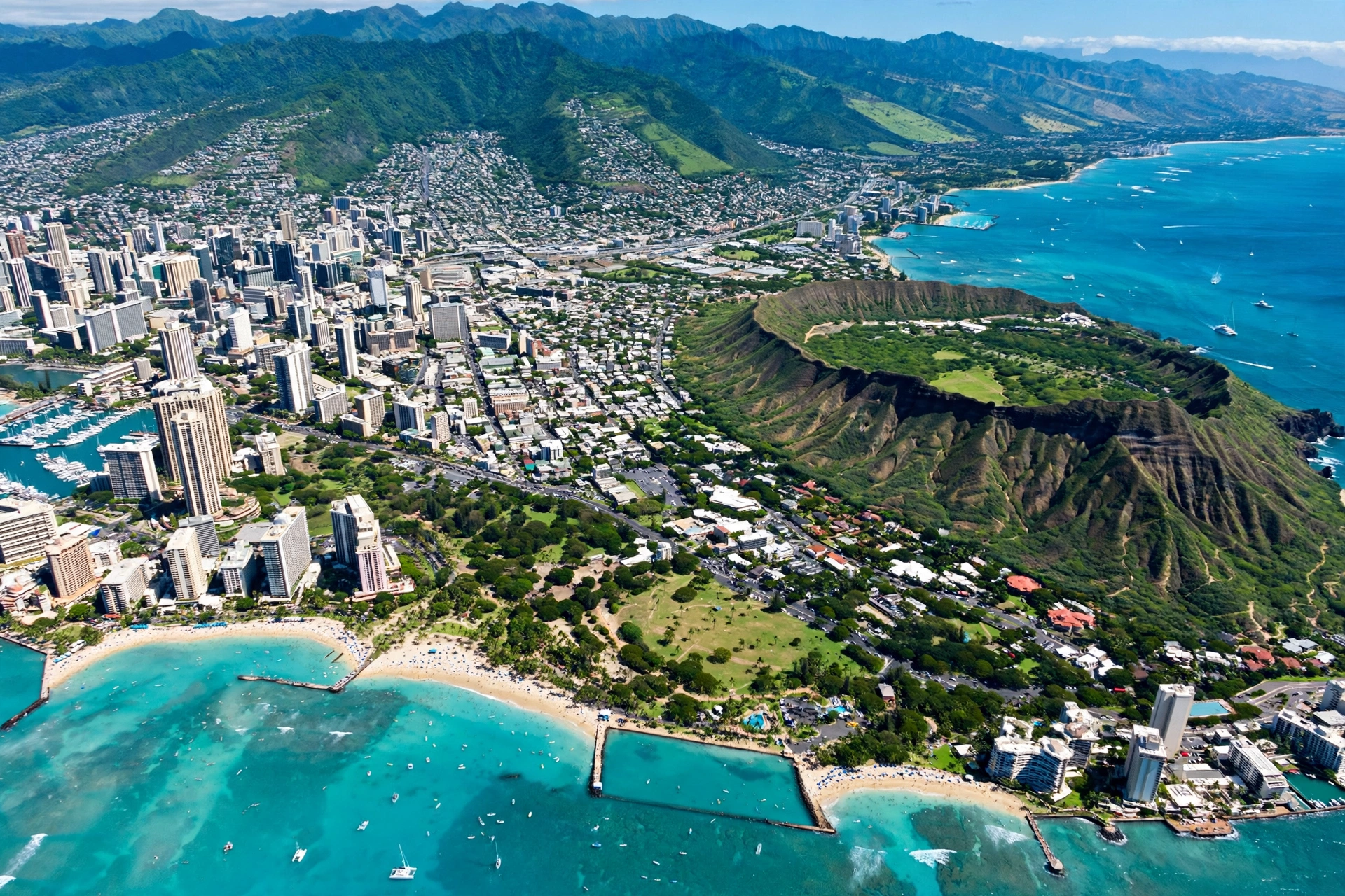
Oʻahu is the most developed and most visited island in Hawaiʻi, home to roughly two-thirds of the state’s population and the capital city of Honolulu. On a Hawaii map it sits between Kauaʻi to the northwest and Molokaʻi to the southeast, and its compact 597 square miles contain the widest range of visitor experiences per mile of any island. Understanding its regions is essential because traffic in the Honolulu metro area can turn short map distances into long drives.
Honolulu and Waikīkī occupy the southeastern corner and form the urban core. Waikīkī is a dense two-mile strip of hotels, restaurants, and shops fronting one of the world’s most famous beaches, while downtown Honolulu holds the state capitol, the historic ʻIolani Palace (the only royal palace on U.S. soil), and the working harbor. Honolulu International Airport sits about 10 miles west of Waikīkī, a 20 to 30 minute drive in normal traffic.
The North Shore stretches along Oʻahu’s northern coast, with the surf towns of Haleʻiwa, Waimea, and Banzai Pipeline country. On the map it looks like a short hop from Waikīkī, roughly 35 to 40 miles, but the drive takes 60 to 90 minutes. Winter (November through February) brings massive surf when swimming is dangerous and watching the waves becomes the attraction. Summer brings calm, swimmable water to the same beaches.
The Windward Coast runs along the island’s eastern side from Kāneʻohe Bay down through Kailua and Waimānalo. The Koʻolau mountain range forms a dramatic green wall behind these towns. Kailua Beach and Lanikai Beach are consistently ranked among the island’s best for swimming. The Pali Highway and the H-3 interstate tunnel through the Koʻolau range to connect the windward side with Honolulu in about 20 to 30 minutes.
The Leeward Coast on the island’s western side, centered on Kapolei and Ko Olina, is the driest and sunniest part of Oʻahu. Ko Olina’s four man-made lagoons offer calm swimming in a resort setting. Farther west, the coast becomes more rural toward Kaʻena Point, the island’s westernmost tip, where a coastal trail leads to a seabird sanctuary. You can read more in Ko Olina Hawaiʻi Map.
Central Oʻahu is the island’s agricultural plateau between the Waiʻanae range to the west and the Koʻolau range to the east. The town of Wahiawā and the Dole Plantation area sit here, along with military installations including Schofield Barracks. Most visitors pass through central Oʻahu on the H-2 freeway en route between Honolulu and the North Shore without stopping, but the plateau offers a glimpse of the island’s plantation history and its remaining farmland.
Key landmarks to locate on an Oʻahu map: Pearl Harbor sits on the southern coast just west of the airport. Diamond Head (Lēʻahi) crater rises at the eastern end of Waikīkī, its summit trail one of the island’s most popular hikes. Hanauma Bay lies farther southeast, a protected marine nature preserve with required reservations. Plotting these on a map before the trip reveals how naturally they cluster into day-trip groups.
3. Maui Regions on the Map
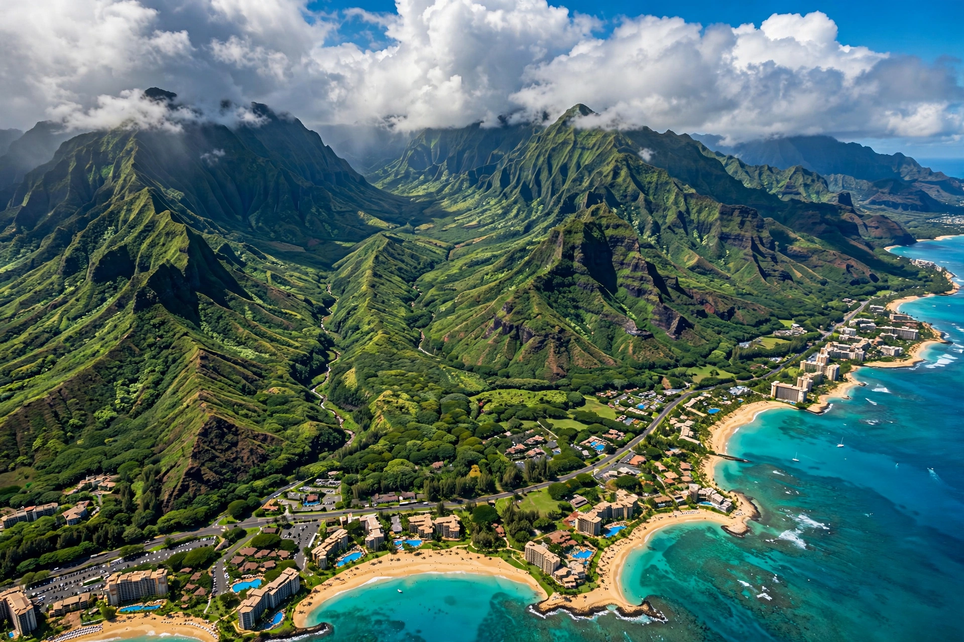
Maui, the Valley Isle, sits southeast of Oʻahu and is the second largest island at 727 square miles. Its distinctive shape, two volcanic masses joined by a low isthmus, is instantly recognizable on any Hawaii map. The older West Maui Mountains and the younger Haleakalā volcano define the island’s two lobes, and the flat central valley between them holds the main airport at Kahului and the working town of Wailuku. Maui’s regions are more spread out than Oʻahu’s, and choosing the right home base matters more here because cross-island drives are longer.
West Maui holds the island’s original resort corridor. Lahaina town, the former capital of the Hawaiian Kingdom, anchors the area with its historic Front Street, banyan tree, and harbor. Just north lie the resort beaches of Kāʻanapali, with nearly three miles of golden sand, and Nāpili and Kapalua farther up the coast. West Maui faces the setting sun and the neighboring islands of Molokaʻi and Lānaʻi, which sit close enough that their profiles dominate the horizon. The coastal highway (Route 30) connects these areas in a scenic but slow drive. Note that West Maui’s communities were deeply affected by the August 2023 wildfires, and visitors should check current guidance from the Hawaiʻi Tourism Authority on which areas are welcoming visitors and which remain in recovery.
South Maui, stretching from Kīhei through Wailea to Mākena, is the island’s sunniest and driest resort zone. Kīhei is a long, casual beach town with condominiums and local restaurants, while Wailea a few miles south is polished and upscale, with manicured beaches fronting luxury resorts. Mākena at the southern end offers wilder scenery, including Big Beach (Mākena State Park) with its powerful shorebreak and the cinder cone of Puʻu Olaʻi. South Maui’s leeward position gives it the island’s most reliable beach weather, and its beaches face the islands of Kahoʻolawe and the Big Island across the ʻAlenuihāhā Channel.
Central Maui is the island’s commercial heart. Kahului Airport (OGG) receives nearly all commercial flights to Maui, and the neighboring towns hold the island’s main shopping and government offices, plus the historic ʻĪao Valley. Most visitors pass through only on arrival and departure, but its central position makes it the natural junction for drives to every other region.
Upcountry Maui climbs the western slopes of Haleakalā from about 1,500 to over 4,000 feet. The towns of Makawao, with its paniolo (Hawaiian cowboy) heritage, and Kula, with farms and sweeping bi-coastal views, offer a completely different Maui: cooler air and rolling pasture. The road continues to Haleakalā National Park, where the 10,023-foot summit holds a massive dormant volcanic crater. Sunrise at the summit requires advance reservations through the National Park Service, and temperatures can be 30 degrees colder than at sea level.
East Maui and the Road to Hāna form the island’s wildest region. The Hāna Highway winds 52 miles from Kahului to the town of Hāna, crossing more than 600 curves and 50 single-lane bridges. In practice it takes 2.5 to 4 hours each way without stops, and the stops are the point: waterfalls, black sand beaches at Waiʻānapanapa State Park, and bamboo forests. East Maui’s remoteness is its appeal, but it demands a full day and an early start.
4. Kauaʻi Regions on the Map
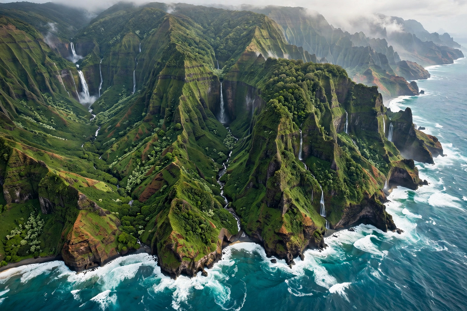
Kauaʻi, the Garden Isle, is the oldest and northernmost of the main visitable islands at 552 square miles. Five million years of erosion have carved it into the most dramatic topography in the chain: the fluted cliffs of the Nā Pali Coast, the deep red expanse of Waimea Canyon, and waterfall-lined valleys throughout. On a Hawaii map, Kauaʻi sits about 100 miles northwest of Oʻahu across the Kaʻieʻie Waho Channel. Its regions are defined by a single main highway (Route 56/50) that rings most of the island but cannot cross the Nā Pali Coast, which has no road access at all.
The South Shore around Poʻipū is Kauaʻi’s sunniest visitor hub, with resort beaches, the famous Spouting Horn blowhole, and the National Tropical Botanical Garden’s Allerton and McBryde gardens nearby. Poʻipū Beach Park is a reliable family swimming spot, and the area’s leeward position keeps it drier than the rest of the island. The south shore also holds the historic town of Kōloa, the site of Hawaiʻi’s first commercial sugar plantation, and the cliffside trails of the Māhāʻulepū heritage trail.
The East Side, sometimes called the Coconut Coast, runs from Līhuʻe (the airport town and county seat) north through Kapaʻa. This is the island’s population center and its most practical home base, with the island’s largest selection of restaurants, shops, and mid-range lodging. Attractions here include Wailua Falls, the Fern Grotto boat tour on the Wailua River (one of the only navigable rivers in Hawaiʻi), and miles of coastal bike path. The east side gets more rain than the south shore but less than the north, and its central location makes day trips in both directions feasible.
The North Shore from Princeville to Hāʻena is Kauaʻi’s most spectacular and most weather-dependent region. Hanalei Bay’s crescent beach, the taro fields of Hanalei Valley, and the trailhead for the Kalalau Trail at Kēʻē Beach all lie here, backed by emerald mountains that catch the trade-wind rain. The north shore is at its best from May through September, when the ocean is calm. In winter, surf can close beaches for swimming entirely. Access beyond Hanalei requires reservations for Hāʻena State Park, managed by the state DLNR, and the road is subject to closures after heavy rain.
The West Side is Kauaʻi’s quiet frontier. The town of Waimea, the first place Captain Cook landed in Hawaiʻi in 1778, is the gateway to Waimea Canyon, often called the Grand Canyon of the Pacific: ten miles long, up to 3,600 feet deep, with layered red and green walls. Waimea Canyon Drive climbs from the town to lookouts at Puʻu Hinahina and Puʻu o Kila, where on clear days the view extends down the Nā Pali Coast. Farther west, Polihale State Park holds one of the longest beaches in Hawaiʻi, reachable by a rough dirt road. The west side’s remoteness keeps crowds thin and the experience raw.
5. Big Island Regions on the Map
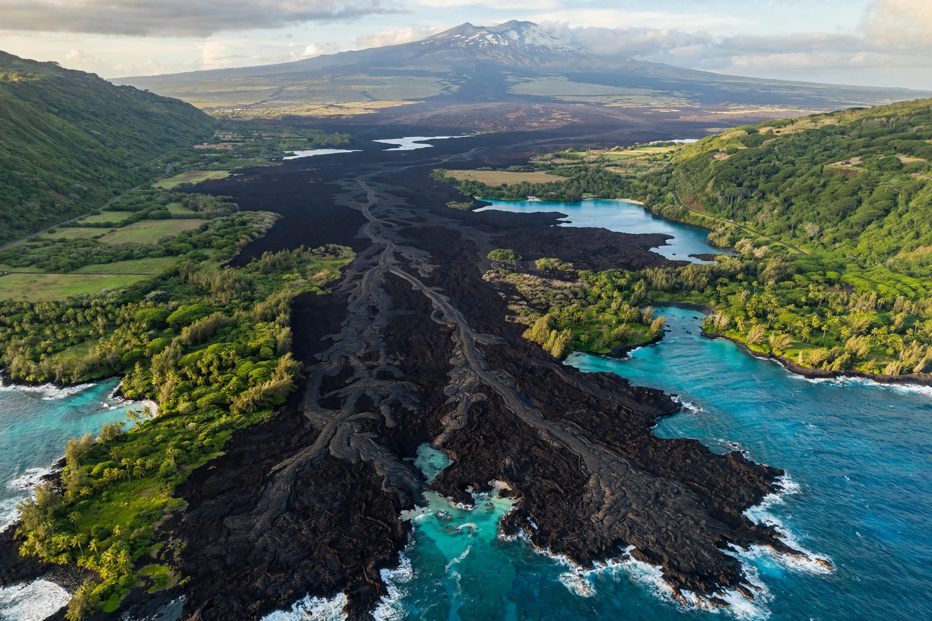
The Island of Hawaiʻi, universally called the Big Island to distinguish it from the state name, dominates any Hawaii map at 4,028 square miles. It is larger than all the other main islands combined, and its regions differ so sharply that it functions almost as several islands in one. The island’s sheer size is the single most important thing a map communicates about it: visitors routinely underestimate drive times here, and planning by map distance instead of drive time is the classic Big Island mistake.
Kona and the western coast form the island’s main visitor zone. The town of Kailua-Kona sits on the sunny leeward coast, with Aliʻi Drive’s shops and restaurants, the historic Huliheʻe Palace, and Mokuaikaua Church (the oldest Christian church in Hawaiʻi, built in 1820). Kona International Airport (KOA) at Keāhole is the island’s main visitor gateway. South of town, the Puʻuhonua o Hōnaunau National Historical Park preserves a sacred place of refuge, and the nearby Kealakekua Bay offers some of the state’s clearest snorkeling water. The Kona coast’s rain shadow keeps it reliably sunny, and its calm morning waters are famous for manta ray night snorkeling and deep-sea fishing.
The Kohala region at the island’s northwestern tip holds two faces. South Kohala, around Waikoloa, has Hāpuna Beach State Recreation Area, widely considered the island’s best swimming beach, fronting resorts on ancient lava fields. North Kohala is rural and historic: the town of Hāwī, the birthplace of King Kamehameha I, and the Pololū Valley lookout at the end of Highway 270. Just east of Hāwī on the same highway, the town of Kapaʻau is home to the original King Kamehameha I statue; our guide on where Kapaʻau is in Hawaiʻi covers what to see there and how to reach it.
Hāmākua and Waimea occupy the island’s north-central highlands. Waimea town (not to be confused with Waimea on Kauaʻi) sits at 2,700 feet in paniolo ranching country, home to Parker Ranch, one of the largest cattle ranches in the United States. The town’s elevation keeps it cool and occasionally misty, a striking contrast to the beach resorts an hour away. The Hāmākua Coast highway (Route 19) east of Waimea is a lush, waterfall-dotted drive past the botanical gardens at ʻAkaka Falls State Park, where a 442-foot waterfall drops into a tropical gorge.
Hilo and the eastern side face the trade winds and the rain they bring. Hilo is the island’s largest town and the county seat, with a walkable historic downtown and the ʻImiloa Astronomy Center. Hilo International Airport (ITO) serves inter-island flights. The Puna district to the south is the island’s youngest landscape, shaped by recent Kīlauea lava flows, with black sand beaches like Punaluʻu, famous for basking honu (Hawaiian green sea turtles).
Hawaiʻi Volcanoes National Park anchors the island’s southeastern Kaʻū district. The park, established in 1916 and managed by the National Park Service, encompasses Kīlauea and Mauna Loa, two of the world’s most active volcanoes. The Kīlauea Visitor Center, Crater Rim Drive lookouts, and Chain of Craters Road can fill a full day. Check USGS Hawaiian Volcano Observatory updates before visiting to learn what is currently visible. The park sits about 95 miles from Kona International Airport, which is why many visitors split their Big Island stay between the Kona side and the Volcano area.
Mauna Kea rises 13,803 feet in the island’s center, the tallest sea mountain in the world measured from its base on the ocean floor. Its summit hosts world-class observatories and holds deep cultural significance in Native Hawaiian tradition. The summit is accessible by four-wheel-drive, and the visitor station at 9,200 feet offers stargazing programs. Temperatures at the summit can be below freezing, and spending time at the visitor station to acclimate before ascending is standard advice. Saddle Road (Highway 200) crosses the high plateau between Mauna Kea and Mauna Loa, connecting the Kona and Hilo sides in about 90 minutes.
6. Molokaʻi & Lānaʻi Overview
Between Oʻahu and Maui on the Hawaii map sit two islands that most visitors overlook and that reward those who do not. Molokaʻi and Lānaʻi are the least developed of the visitable islands, with no traffic lights, no large resorts in Molokaʻi’s case, and a pace that feels a generation removed from Waikīkī. They are reached by short flights from Honolulu or Maui, and they suit travelers who have already seen the main islands or who specifically want seclusion.
Molokaʻi, the Friendly Isle, stretches 38 miles long but only 10 miles wide at 260 square miles. Its northern coast holds the tallest sea cliffs in the world, rising to 3,900 feet above the Pacific, a wall of green that is visible from Oʻahu on clear days and best appreciated from the water or the air. The Kalaupapa Peninsula on the north shore was the site of the historic Hansen’s disease settlement, now Kalaupapa National Historical Park, where Father Damien and Mother Marianne Cope served the patients; access is restricted and visits require permits and guided tours. The island’s south shore has Hawaiʻi’s longest fringing reef, and the small town of Kaunakakai is the commercial center. Molokaʻi has actively limited tourism development, and visitors are expected to respect the island’s rural character and Native Hawaiian cultural sites.
Lānaʻi, the Pineapple Isle, is the smallest visitable island at 140 square miles. It was once the world’s largest pineapple plantation, operated by Dole, and today is largely owned by a single company with two luxury resorts near the town of Lānaʻi City. The island’s signature landscapes include Keahiakawelo (the Garden of the Gods), a Martian expanse of red rock formations in the island’s northwest, and Shipwreck Beach on the northeastern shore, where a grounded WWII vessel rusts offshore. The Munro Trail runs the island’s spine for ridge-line hiking with views to Maui and Molokaʻi. Lānaʻi is reachable by a 45-minute passenger ferry from Lahaina, Maui, in addition to flights, making it the only inter-island ferry route for visitors. Its tiny size means a day trip is feasible, though staying overnight reveals a quiet found nowhere else in the chain.
7. Hawaii Driving Distances
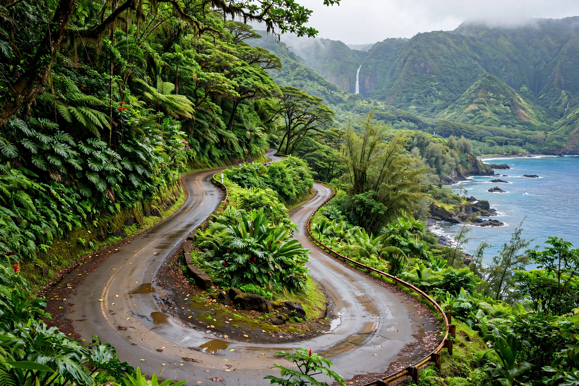
Map distances in Hawaiʻi are consistently deceptive, and this is where a Hawaii map earns its keep as a planning tool rather than a decoration. Winding coastal roads, single-lane bridges, mountain grades, and traffic congestion mean that drive times routinely exceed what the mileage suggests. The table below lists the drives visitors ask about most, with realistic time estimates that account for normal conditions. Always add buffer time for photo stops, food stands, and the simple fact that Hawaiian roads invite slow driving.
| Route | Distance | Typical Drive Time |
|---|---|---|
| Waikīkī to North Shore (Haleʻiwa), Oʻahu | 38 miles | 1 hr to 1 hr 30 min |
| Honolulu Airport to Waikīkī, Oʻahu | 10 miles | 20 to 30 min |
| Waikīkī to Hanauma Bay, Oʻahu | 12 miles | 25 to 35 min |
| Kahului Airport to Lahaina, Maui | 26 miles | 45 min to 1 hr |
| Kahului to Hāna (Hāna Highway), Maui | 52 miles | 2 hr 30 min to 4 hr |
| Kahului Airport to Haleakalā Summit, Maui | 38 miles | 1 hr 30 min to 2 hr |
| Līhuʻe Airport to Poʻipū, Kauaʻi | 16 miles | 25 to 35 min |
| Līhuʻe Airport to Hanalei, Kauaʻi | 32 miles | 55 min to 1 hr 15 min |
| Līhuʻe Airport to Waimea Canyon lookout, Kauaʻi | 40 miles | 1 hr 15 min to 1 hr 30 min |
| Kona Airport to Kailua-Kona town, Big Island | 10 miles | 20 min |
| Kona Airport to Hawaiʻi Volcanoes National Park, Big Island | 95 miles | 2 hr to 2 hr 30 min |
| Kailua-Kona to Hāpuna Beach (South Kohala), Big Island | 30 miles | 40 to 50 min |
| Hilo to Hawaiʻi Volcanoes National Park, Big Island | 30 miles | 45 min to 1 hr |
| Kona to Hilo via Saddle Road, Big Island | 78 miles | 1 hr 30 min to 2 hr |
A few patterns in this table are worth internalizing. First, the Big Island’s drives are in a different league: crossing from Kona to the volcano is a half-day commitment, and visitors who try to see both coasts from a single hotel spend their vacation in the car. Splitting a Big Island stay between the Kona/Kohala side and the Volcano/Hilo side is standard advice for good reason. Second, the Hāna Highway’s 52 miles taking up to four hours is the extreme example of the map-versus-reality gap, but every winding coastal road in the islands follows the same principle at smaller scale. Third, Oʻahu’s times depend heavily on traffic direction and time of day: the same 38 miles to the North Shore can take an hour on a Sunday morning or well over 90 minutes on a weekday afternoon.
One more map-based planning note: gas stations thin out in rural areas, particularly on the Big Island’s Saddle Road, the Hāna Highway beyond Paʻia, and Kauaʻi’s west side beyond Waimea. Filling up before leaving the main towns is a habit that prevents problems. Cell coverage also drops in the same remote stretches, which is another argument for downloading offline maps before heading out, covered in section 10.
8. Hawaii Airports Map
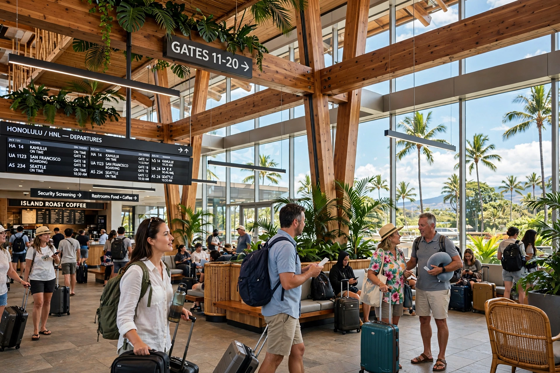
Five airports handle essentially all commercial visitor traffic in Hawaiʻi, and their locations on the map explain a great deal about trip logistics. Knowing which airport serves which island, and which ones connect directly to the mainland, prevents the common mistake of booking a flight to the wrong side of an island.
Daniel K. Inouye International Airport (HNL), Oʻahu. Located on Honolulu’s western edge, HNL is the state’s main gateway with by far the most direct flights from the U.S. mainland, plus international service from Asia and the Pacific. Nearly every inter-island route touches HNL. If a trip involves multiple islands, HNL is the natural hub, and many itineraries start or end here. The airport sits about 10 miles from Waikīkī.
Kahului Airport (OGG), Maui. On Maui’s central isthmus near the town of Kahului, OGG is the island’s only major commercial airport and handles extensive direct mainland service, second only to HNL. Its central location puts it within an hour of the West Maui and South Maui resort areas. Travelers sometimes confuse it with the small Kapalua airport in West Maui, which has very limited service.
Līhuʻe Airport (LIH), Kauaʻi. On the island’s east side near the town of Līhuʻe, LIH handles direct flights from several mainland cities plus inter-island connections. Its east-side location makes it roughly equidistant from the south shore resorts and the north shore, about 25 to 60 minutes each way.
Kona International Airport (KOA), Big Island. At Keāhole on the island’s sunny western coast, KOA is the main visitor gateway to the Big Island with direct mainland flights. Its open-air terminals are a memorable arrival experience. Note the distance to the island’s other attractions: the volcano is a two-plus-hour drive away, which surprises visitors who assume the island’s main airport sits near its most famous park.
Hilo International Airport (ITO), Big Island. On the island’s rainy eastern side, ITO primarily serves inter-island flights with limited mainland service. It is the closer airport to Hawaiʻi Volcanoes National Park (about 45 minutes) and to the Hāmākua Coast attractions. Some itineraries fly into one Big Island airport and out of the other to avoid backtracking.
Inter-island flights take 30 to 50 minutes in the air, with Hawaiian Airlines and Southwest Airlines operating the main routes. A practical map insight: because flights are short, the order of islands in a multi-island trip matters less than the flight schedule. Morning flights preserve the day; afternoon flights consume it. Every island transfer involves returning a rental car, airport security, and picking up a new car, so experienced planners treat each transfer as a lost half day.
9. Using Maps for Trip Planning
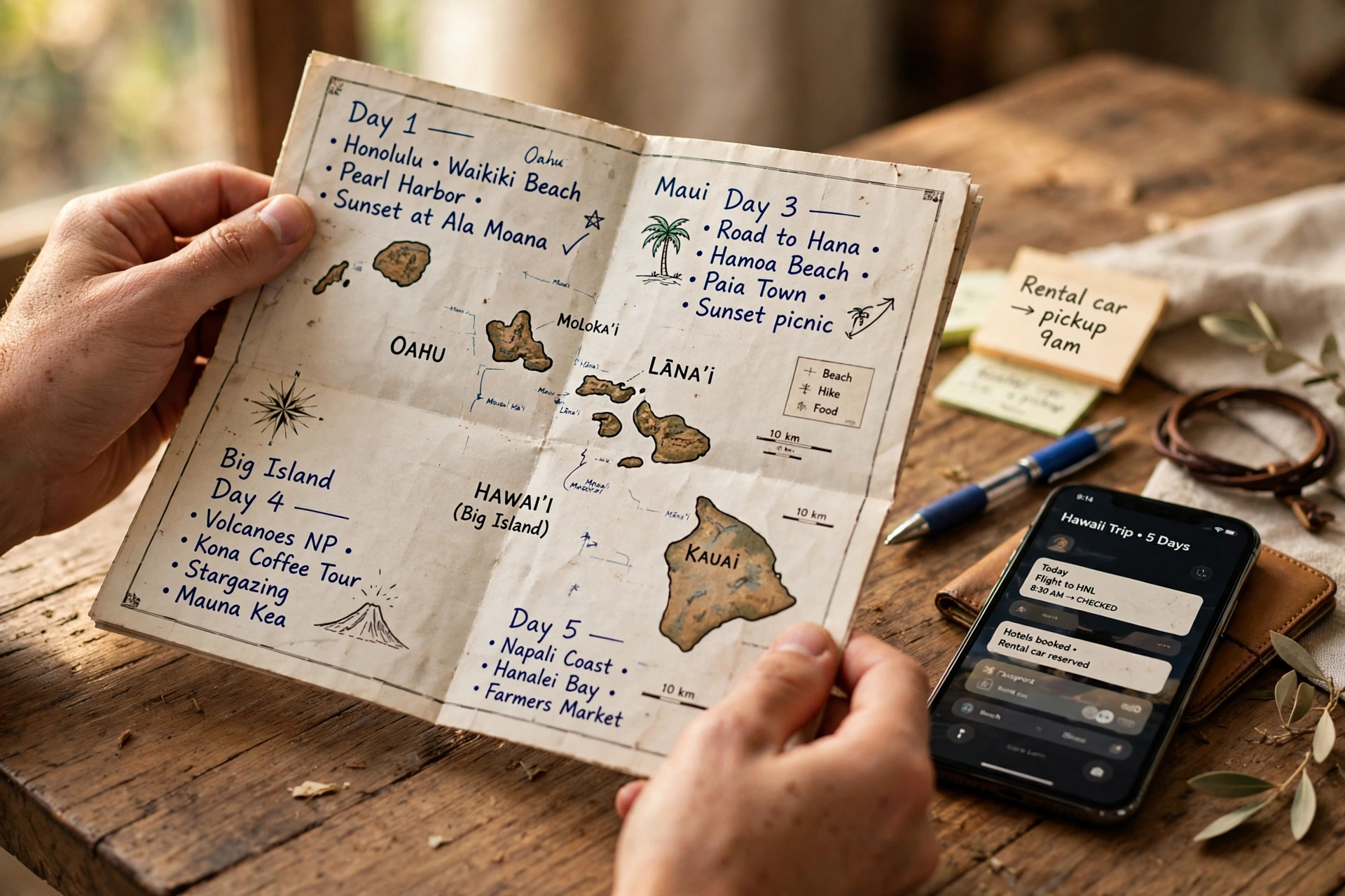
A Hawaii map stops being a reference and starts being a planning instrument when it is used to answer four questions: where to stay, how to group each day’s activities, how many days each island needs, and what order to visit islands in. Each question has a map-based answer.
Choosing a home base. On every island, the resort areas cluster on the leeward (dry, sunny) coasts: Waikīkī and Ko Olina on Oʻahu, Kāʻanapali and Wailea on Maui, Poʻipū on Kauaʻi, Kona and Waikoloa on the Big Island. The map shows why. These coasts sit in the rain shadow of the island’s mountains, face the sunset, and hold the calmest beaches. Staying in the main resort zone minimizes daily driving to beaches and restaurants. Staying outside it, in a vacation rental on the windward side or in Upcountry, trades convenience for scenery, quiet, or price. Neither choice is wrong, but the map makes the tradeoff visible: count the miles between the rental and the three places that will be visited most, then multiply by the realistic drive times from the table above.
Grouping each day’s activities by geography. The most efficient itineraries cluster each day’s stops in one region instead of zigzagging across the island. On Oʻahu, a windward day (Kailua Beach, Lanikai Pillbox hike, shrimp lunch in Kahuku) beats a day split between the North Shore and Hanauma Bay. On Maui, a Hāna day is a full day by itself, while West Maui beaches, Lahaina town, and a sunset sail combine naturally. On the Big Island, the Kona coast (beaches, snorkeling, coffee farms) and the volcano area (national park, Hilo town) are effectively separate trips requiring separate days. Drawing each day’s route on the map before the trip reveals backtracking that is invisible in a list of attractions.
Deciding how many days each island needs. Island size on the map is the honest guide. Oʻahu’s compactness means four to five days cover the highlights without rushing. Maui’s spread and the full-day Hāna commitment argue for five to seven. Kauaʻi’s regions and the Waimea Canyon/Nā Pali logistics fit well in five to six. The Big Island’s size and the Kona/volcano split need six to eight days minimum to avoid a driving-heavy trip. Molokaʻi and Lānaʻi work as two-to-three-day additions or long day trips. These are not rules, but they reflect what the geography demands: bigger islands with longer drives need more days, and the map shows exactly why.
Ordering islands in a multi-island trip. The conventional wisdom is to visit the quieter islands first and end on Oʻahu, or to start on Oʻahu and unwind on a neighbor island last. The map supports either, since inter-island flights connect everything through Honolulu anyway. Two practical considerations matter more. First, some inter-island routes have limited daily frequencies, and building the itinerary around available morning flights saves daylight. Second, ending the trip on the island with the direct flight home avoids a final inter-island hop on departure day.
Reading the terrain, not just the roads. A topographic Hawaii map adds a layer that flat road maps miss. The steep green walls behind Oʻahu’s windward coast explain the rain. The broad brown saddle between the Big Island’s volcanoes explains the desert. The deep notches of the Nā Pali Coast explain why there is no road there. Before hiking or driving a remote route, two minutes with the terrain view builds an intuition that no list of directions provides.
10. Downloading & Printing Maps
Hawaiʻi’s beauty comes with connectivity gaps, and a downloaded map is cheap insurance. Cell service drops on the Road to Hāna, along the Big Island’s Saddle Road, on Kauaʻi’s west side past Waimea, and across much of the Nā Pali Coast region. A phone with offline maps keeps navigating when the signal disappears.
Downloading offline maps. Google Maps allows downloading map areas for offline use: search for the island, tap its name, and select the download option. Maps.me and Gaia GPS are popular alternatives among hikers, with Gaia offering topographic layers. Download over Wi-Fi before leaving the hotel, since the files are large.
Printing a backup. A paper Hawaii map in the rental car’s glove box is old-fashioned and occasionally trip-saving. The Hawaiʻi Tourism Authority’s official visitor guides include serviceable island maps, available at airport visitor kiosks. For driving, the classic waterproof island road maps sold in bookstores and ABC Stores mark scenic viewpoints, mile markers, and beach parks that phone screens render too small to read at a glance. Mark the hotel, the day’s destinations, and the gas stations on the printed map each morning. If the phone dies on a remote road, the paper map still works.
What to save before the flight. Beyond the map itself, save or screenshot the confirmation details that a dead phone would otherwise hide: hotel addresses, rental car pickup instructions, tour meeting points, and the reservation QR codes for places like Hanauma Bay, Diamond Head, and Hāʻena State Park that require advance booking. Keep a portable charger in the daypack. Hawaiʻi’s sun drains phone batteries faster than expected, and a navigation app running for hours on a Hāna or volcano day will test even a full charge.
11. Frequently Asked Questions
How many islands are in Hawaii?
The State of Hawaiʻi comprises 137 islands, islets, and atolls, but only eight are considered the main islands: Niʻihau, Kauaʻi, Oʻahu, Molokaʻi, Lānaʻi, Kahoʻolawe, Maui, and the Island of Hawaiʻi (the Big Island). Six of the eight are open to visitors. Niʻihau is privately owned with very restricted access, and Kahoʻolawe is uninhabited and closed to the public.
Which Hawaiian island is the biggest on the map?
The Big Island (Island of Hawaiʻi) at 4,028 square miles, larger than all the other main islands combined. Maui is second at 727 square miles, followed by Oʻahu (597), Kauaʻi (552), Molokaʻi (260), Lānaʻi (140), Niʻihau (69), and Kahoʻolawe (45).
Can you drive between the Hawaiian Islands?
No. There are no bridges, tunnels, or car ferries connecting the islands. Inter-island travel is by commercial flight, 30 to 50 minutes between neighboring islands. The one exception is the passenger-only ferry between Lahaina, Maui and Lānaʻi, which takes about 45 minutes and does not carry cars.
How far is it from Oʻahu to Maui?
About 100 miles across the Kaiwi Channel, a 30 to 40 minute flight. Oʻahu to Kauaʻi is a similar distance in the opposite direction, and Maui to the Big Island is roughly 80 miles. These short distances make multi-island trips practical, though each transfer still takes about half a day including airport time.
Where is Pearl Harbor located on the map?
On Oʻahu’s southern coast, just west of Honolulu International Airport and about 10 miles west of Waikīkī. The USS Arizona Memorial and related sites are managed by the National Park Service as the Pearl Harbor National Memorial.
What is the best map app to use in Hawaii?
Google Maps works well for driving directions and business listings where there is cell coverage. For areas without service, download Google Maps offline areas in advance or use Gaia GPS for topographic detail on hikes. A printed island road map remains a useful backup for remote drives like the Road to Hāna and Saddle Road.
How long does it take to drive around Oʻahu?
A full circle-island drive covers roughly 120 miles and takes 3 to 4 hours of pure driving, but a proper circle-island day with stops runs 8 to 10 hours. Most visitors find that grouping the island into regions across several days works better than a single marathon loop.
Why does the Big Island need more days than the other islands?
Its size. At 4,028 square miles, driving from the Kona resort coast to Hawaiʻi Volcanoes National Park takes over two hours each way, and the island’s regions (Kona, Kohala, Hāmākua, Hilo, Kaʻū) are spread far apart. Six to eight days allow the island to be experienced without spending most of it in the car. Splitting the stay between the west side and the volcano/Hilo side is the standard strategy.
Are there free printable Hawaii maps?
The Hawaiʻi Tourism Authority publishes official visitor guides with island maps, available at airport kiosks and visitor centers. The National Park Service provides free downloadable maps for Hawaiʻi Volcanoes and Haleakalā National Parks on nps.gov. State park maps, including for Waimea Canyon and Diamond Head, are available through the Hawaiʻi DLNR Division of State Parks.
Which side of each island has the best weather?
The leeward (southwestern) coasts are generally drier and sunnier because the mountains block the northeast trade winds and their rain. On the map, that means the Kona coast on the Big Island, South Maui, Poʻipū on Kauaʻi, and the leeward coast of Oʻahu. Windward (northeastern) coasts are lusher and wetter. Elevation also matters: mountain areas can be 15 to 20 degrees cooler than the beaches below.
12. Related Guides
Once the overall map is clear, these guides go deeper on the topics this page introduces:
- Oʻahu area guide, neighborhoods, beaches, and day-trip clusters for the Gathering Place
- Maui area guide, West Maui, South Maui, Upcountry, and the Road to Hāna in detail
- Kauaʻi area guide, south shore to north shore, Waimea Canyon, and the Nā Pali Coast
- Big Island area guide, Kona, Kohala, Hilo, and Hawaiʻi Volcanoes National Park
- Molokaʻi travel guide, the Friendly Isle’s cliffs, culture, and quiet
- Lānaʻi travel guide, the Pineapple Isle’s landscapes and seclusion
- Hawaii airports guide, terminals, transfers, and inter-island flight strategy
- Best time to visit Hawaii, seasons, weather patterns, and crowd calendars by island
- Hawaii packing list generator, build a custom packing list for the islands and activities
- Big Island golf courses map, every course on the island plotted by district
- Hawaii Kai golf course map, the two courses at the eastern end of Oʻahu
- Hawaii itinerary, a 10-day route that puts these maps to work
- Hawaii trip cost calculator, estimate the budget for a multi-island itinerary
Editor’s note: related guide links above will be connected to their published URLs as each page goes live.
Reading the Map Before the Trip
The travelers who get the most from Hawaiʻi tend to be the ones who spent time with the map before they arrived. Not because Hawaiʻi is difficult to navigate, but because its geography quietly dictates the shape of every trip: which beaches are swimmable in which season, why one coast is dry while the other is wet, how a 50-mile drive becomes a full day, and why the biggest island needs the most days. A few evenings with a good Hawaii map, tracing the routes between the places on the must-see list, builds an intuition that no amount of scrolling replaces. The islands reward that preparation with days that flow instead of days spent backtracking, and with the particular satisfaction of understanding the landscape as it unfolds outside the window.