What State Is Hawaiʻi Closest To? The California Answer and the Alaska Twist

Ask what state Hawaiʻi is closest to and you will get a confident answer in most classrooms: California. That answer is right in the way most people mean the question, and incomplete in a way that makes Hawaiʻi geography more interesting than the textbook version. Hawaiʻi is so far from every state that the word closest needs defining before it can be answered honestly.
This guide gives both answers and explains when each one applies. If you mean the closest state to the main Hawaiian Islands, the islands where nearly everyone lives and where every visitor lands, the answer is California. If you mean the shortest distance between any land in the State of Hawaiʻi and any land in another state, the answer changes, because Hawaiʻi stretches far to the northwest and Alaska stretches far to the southwest, and those two long chains reach toward each other across the North Pacific.
The Answer Most People Mean: California
For the populated Hawaiian Islands, California is the closest state by a wide margin. The State of Hawaiʻi Data Book, drawing on United States Geological Survey distance records, lists Honolulu at 2,397 statute miles from San Francisco. Los Angeles is listed at 2,557 miles from Honolulu, San Diego at 2,610 miles, and Portland, Oregon at 2,595 miles. Seattle, Washington is farther at 2,679 miles. In other words, among mainland cities, San Francisco is the closest major city to Honolulu, and California holds the nearest stretch of the North American mainland.
The nearest mainland point is on the northern California coast near Point Arena in Mendocino County. Popular geography references commonly place the shortest mainland crossing at about 2,045 nautical miles from Hawaiʻi, which converts to roughly 2,353 statute miles. Figures vary slightly depending on which Hawaiian island and which mainland point are measured, which is why round numbers like about 2,400 miles from California appear so often. Every version of the measurement tells the same story: California is the mainland state Hawaiʻi faces, and it has been the main gateway for flights, shipping, and migration for generations. Travelers planning that crossing can see how it works in practice in our guide to Hawaii airports.
| From Honolulu to | Great circle distance | Source note |
| San Francisco, California | 2,397 miles | State of Hawaiʻi Data Book, USGS records |
| Los Angeles, California | 2,557 miles | State of Hawaiʻi Data Book, USGS records |
| Portland, Oregon | 2,595 miles | State of Hawaiʻi Data Book, USGS records |
| San Diego, California | 2,610 miles | State of Hawaiʻi Data Book, USGS records |
| Seattle, Washington | 2,679 miles | State of Hawaiʻi Data Book, USGS records |
| Anchorage, Alaska | 2,781 miles | State of Hawaiʻi Data Book, USGS records |
| Tokyo, Japan | 3,847 miles | State of Hawaiʻi Data Book, USGS records |
The Technical Answer: Alaska, Chain to Chain
Now consider the full map. The State of Hawaiʻi is not just the eight main islands. The Hawaiian Archipelago continues northwest through the Northwestern Hawaiian Islands for about 1,500 miles, ending at Kure Atoll, the northernmost and westernmost island of the chain. Kure Atoll sits 1,367 miles from Honolulu according to the same Data Book distance table. Much of that northwestern stretch is protected within Papahānaumokuākea Marine National Monument, one of the largest marine conservation areas in the world.
Alaska reaches just as dramatically in the other direction. The Aleutian Islands extend southwest from mainland Alaska for more than a thousand miles into the North Pacific. When the two chains are measured tip to tip, the distance between Kure Atoll and Amatignak Island in the Aleutians, at Nitrof Point, is commonly cited at about 1,573 miles. That is shorter than any Hawaiʻi to California measurement. So, measured strictly state border to state border, including remote uninhabited islands on both sides, Alaska is the closest state to Hawaiʻi.
Both answers are honest. They answer different questions. Almost no one asking the question pictures Kure Atoll, a low coral atoll with no permanent residents, visited mainly by small rotating crews of biologists and volunteers, or Amatignak Island, an uninhabited Aleutian island known for severe weather. People picture Honolulu, Waikīkī, and the flight they might take. For that Hawaiʻi, California is the answer, and it is the answer with real consequences for travel, trade, and daily life. Our collection of fascinating facts about Hawaii covers more of the geography that makes these measurements so unusual.
Why the Map on the Wall Misleads You
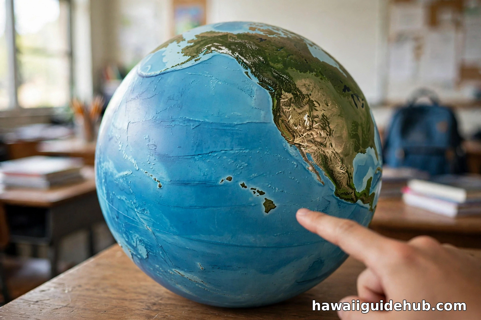
Most maps of the United States show Alaska and Hawaiʻi in inset boxes in the lower left corner, scaled down and placed near Mexico for convenience. That layout is practical for printing, but it quietly teaches a false geography. It makes Hawaiʻi look like a near neighbor of the Southwest, and it hides the single most important fact about the state: Hawaiʻi is the most isolated major population center on Earth. Honolulu is often described by geographers as the most remote city of its size in the world, because the nearest city of comparable size, San Francisco, is about 2,400 miles away.
The isolation is not a trivia point. It explains why so many of Hawaiʻi’s native plants and animals evolved nowhere else, why introduced species are such a serious threat at airports and ports, why groceries and building materials cost more after a long ocean crossing, and why every trip to the mainland is a significant journey rather than a drive or a short flight. It also explains the time difference: Hawaiʻi keeps its own time zone, Hawaiʻi Standard Time, ten hours behind Coordinated Universal Time, and the state does not observe daylight saving time.
How Far Is Far? Putting 2,400 Miles in Context
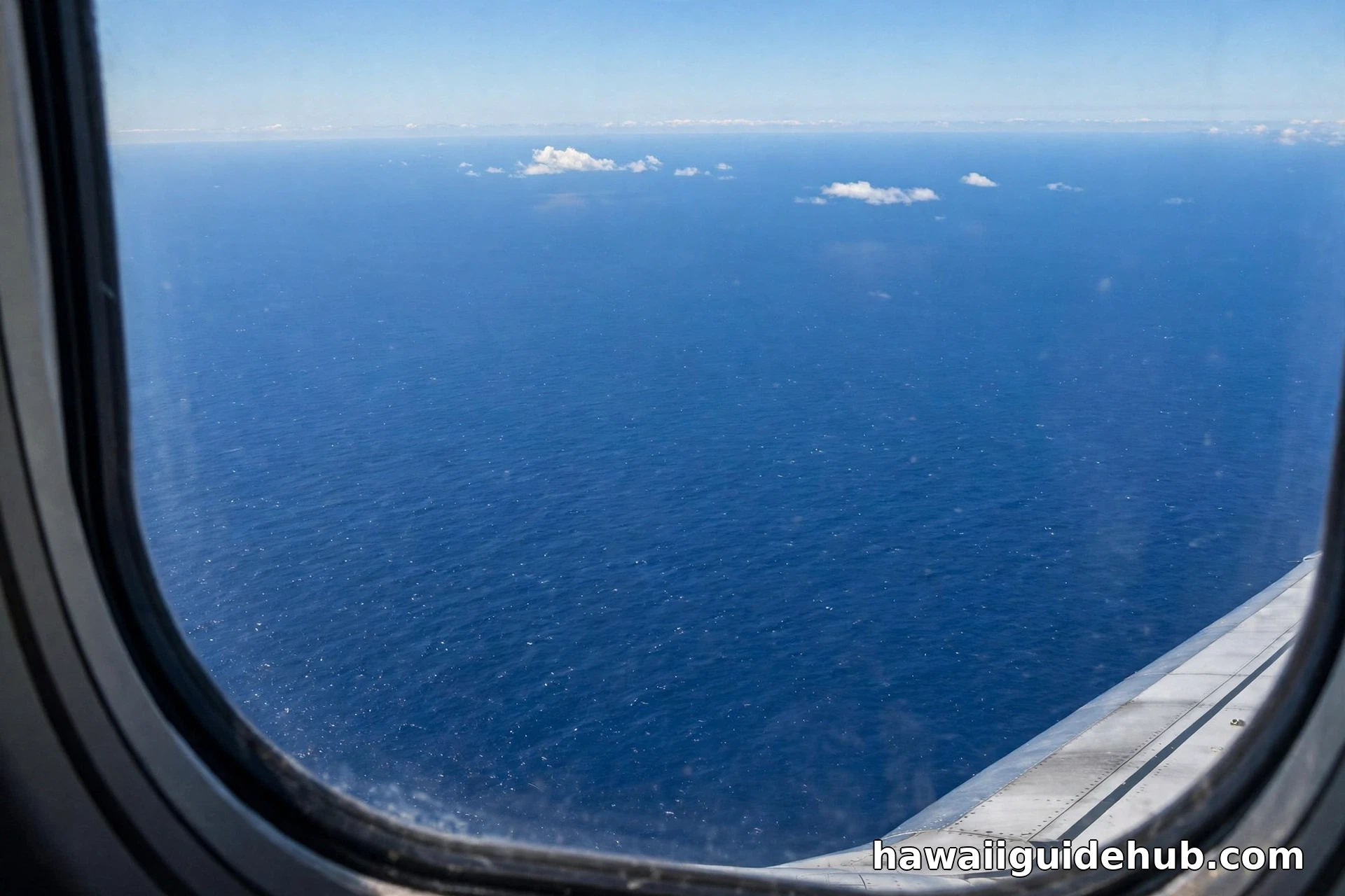
A distance of 2,400 miles is roughly the distance from California to New York City. In practical terms, a nonstop flight from San Francisco or Los Angeles to Honolulu takes about five to five and a half hours, which surprises first time visitors who expect a short hop offshore. From Honolulu, Tokyo is about 3,847 miles away, so Japan is considerably farther than California, even though Hawaiʻi can feel culturally and commercially connected to both coasts of the Pacific. Sydney, Australia is more than 5,000 miles from Honolulu. There is no ferry, bridge, or road option in any direction. For visitors, that distance shapes everything from jet lag to how much luggage is worth packing, topics we cover in our Hawaii itinerary guide.
What About Other Countries and Islands?
The state question has a country cousin, and the two are often confused. The closest sovereign nation to Hawaiʻi, measured to the main islands, is a separate question with its own answer involving Kiribati and its distant Line Islands to the south. That question is covered in full on its own page, because mixing the two questions produces most of the wrong answers online. Within the Pacific itself, the Data Book lists Johnston Atoll at 820 miles from Honolulu and Kiritimati at 1,344 miles, reminders that the ocean around Hawaiʻi is not empty, but the land in it is sparse, small, and far between. None of it changes the state answer: for the main islands, California; for the full chains, Alaska.
Why It Matters Beyond Trivia
The California connection is not just geometric. California ports and airports are the main funnel for Hawaiʻi’s food, fuel, vehicles, and consumer goods, and California cities provide the largest share of mainland air service. When West Coast ports slow down or mainland fares rise, island prices feel it within weeks. The Alaska connection matters differently: the two states share a Pacific and Arctic policy world, remote island management challenges, and a history of long supply lines. Understanding which state is closest, and in what sense, is a small lesson in reading maps critically, a skill that also helps when judging the inset boxes discussed above or planning a first visit with our guide to the best island in Hawaii for first time visitors.
The Chain, Step by Step: From Hawaiʻi Island to Kure Atoll
To see why the Alaska answer is even possible, follow the chain northwest from Honolulu using the Data Book distances. Molokaʻi Airport is 54 miles from Honolulu, Lānaʻi Airport 72 miles, and Kahului on Maui 98 miles. Līhuʻe on Kauaʻi is 103 miles in the other direction along the main group. Beyond Kauaʻi, the distances change scale entirely. Nihoa is 283 miles from Honolulu, French Frigate Shoals 556 miles, Laysan Island 936 miles, Pearl and Hermes Atoll 1,208 miles, and Kure Atoll 1,367 miles. The main islands that hold nearly the entire population occupy only the first hundred miles or so of a chain that runs more than thirteen times that far.
Those northwestern islands are not suburbs of Honolulu in any sense. Most are low atolls and islets protected as wildlife refuges and as part of Papahānaumokuākea, home to Hawaiian monk seals, nesting seabirds, and green sea turtles. Midway Atoll, at 1,309 miles from Honolulu in the same table, is not even part of the State of Hawaiʻi, since it is administered separately as a United States territory and wildlife refuge. A state that legally stretches from a major city to a distant coral atoll is bound to produce unusual answers to simple distance questions, and the closest state question is exactly where that oddity surfaces.
How the Answer Changes by Island
Even inside the main group, the closest point depends on where you stand. Kauaʻi, the northwesternmost main island, sits a little closer to the Aleutian chain and a little farther from Southern California than Oʻahu does. Hawaiʻi Island, at the southeastern end, reverses that pattern slightly: Hilo is listed at 2,315 miles from San Francisco in a separate Data Book table, closer to California than Honolulu is, because the Big Island reaches southeast toward the mainland. These differences are small, measured in tens of miles across thousands, and they never change the ranking. California stays closest for every inhabited island, and no other mainland state comes within range of challenging it.
Flight times reflect the same geography. The shortest mainland flights to Hawaiʻi leave from California, and the longest domestic flights in the United States leave from the East Coast for Hawaiʻi, crossing the entire continent and then an ocean nearly as wide again. When travelers say Hawaiʻi feels like another world, the mileage agrees with them.
Video: The True Scale of the Hawaiian Chain
This geography overview shows how far the Hawaiian Archipelago really stretches beyond the eight main islands most maps emphasize.
Frequently Asked Questions
What state is Hawaiʻi closest to?
California, for the main Hawaiian Islands where people live and visit. Honolulu is 2,397 miles from San Francisco in the State of Hawaiʻi Data Book table. Measured tip to tip between the remote Northwestern Hawaiian Islands and the Aleutian Islands, Alaska is technically closer, at about 1,573 miles between Kure Atoll and Amatignak Island.
How far is Hawaiʻi from California?
About 2,400 miles from Honolulu to the California coast cities, with San Francisco at 2,397 miles and Los Angeles at 2,557 miles in official distance tables. A nonstop flight takes roughly five to five and a half hours from California airports.
Is Hawaiʻi closer to Alaska or California?
It depends on the endpoints. Honolulu is closer to San Francisco (2,397 miles) than to Anchorage (2,781 miles). But the far ends of the two island chains, Kure Atoll and the Aleutian Islands, are only about 1,573 miles apart, which makes Alaska the closest state in the strict geographic sense.
Can you see California from Hawaiʻi?
No. At roughly 2,400 miles, California is far beyond the horizon and beyond any possible line of sight. Claims that Hawaiʻi’s tallest volcanoes can be seen from California, or the reverse, are not physically possible across that distance.
Why do maps show Hawaiʻi next to Mexico?
Because wall maps place Alaska and Hawaiʻi in inset boxes to save space. The placement is a printing convenience, not geography. In reality Hawaiʻi sits in the central Pacific, roughly southwest of California and thousands of miles from Mexico’s Pacific coast as well.
So the honest answer keeps both halves. California is the closest state to the Hawaiʻi that people live in, fly to, and ship goods to, at about 2,400 miles. Alaska is the closest state to the Hawaiʻi that appears on a full Pacific chart, where two great island chains reach across the North Pacific until only about 1,573 miles separate them. Either way, the deeper fact is the isolation itself: no other state capital, and no other major American city, sits as far from its neighbors as Honolulu does.