What Latitude Is Hawaii?

Hawaii sits between about 18.9 and 22.2 degrees north latitude across its main inhabited islands, with Honolulu at roughly 21.3 degrees north. Count the whole state, including the remote Northwestern Hawaiian Islands, and the range stretches from 18 degrees 55 minutes north at the Big Island to 28 degrees 27 minutes north at Kure Atoll. Every one of the main islands lies south of the Tropic of Cancer, which makes Hawaii the only US state located entirely in the tropics.
This page is the complete answer to what latitude Hawaii is. It gives the numbers island by island, explains the difference between the main islands and the full state range, compares Hawaii with Florida and Los Angeles, and shows what that latitude actually does: the overhead sun of Lahaina Noon, the small seasonal swing in daylight, and the trade wind climate that defines the islands. A single number explains a surprising amount of a Hawaii trip.
The Quick Answer, Island by Island
| Place | Approximate latitude |
| Ka Lae (South Point), Hawaiʻi Island | 18.9° N, the southernmost point in the United States |
| Hilo, Hawaiʻi Island | 19.7° N |
| Kailua-Kona, Hawaiʻi Island | 19.6° N |
| Kahului, Maui | 20.9° N |
| Lānaʻi City, Lānaʻi | 20.8° N |
| Kaunakakai, Molokaʻi | 21.1° N |
| Honolulu, Oʻahu | 21.3° N |
| Līhuʻe, Kauaʻi | 22.0° N |
| Kure Atoll (stateʻs far northwest) | 28.4° N |
| Tropic of Cancer, for comparison | 23.4° N |
Read the table from bottom to top and the geography clicks. The main chain climbs gently northwest: the Big Island is the lowest and youngest, Kauaʻi the highest of the big islands and the oldest. The whole populated state fits inside a band of about three degrees of latitude, roughly 230 miles from South Point to the north shore of Kauaʻi, yet the full legal state keeps going for more than 1,500 miles to Kure Atoll, which is why official references list such a wide range for Hawaiiʻs latitude.
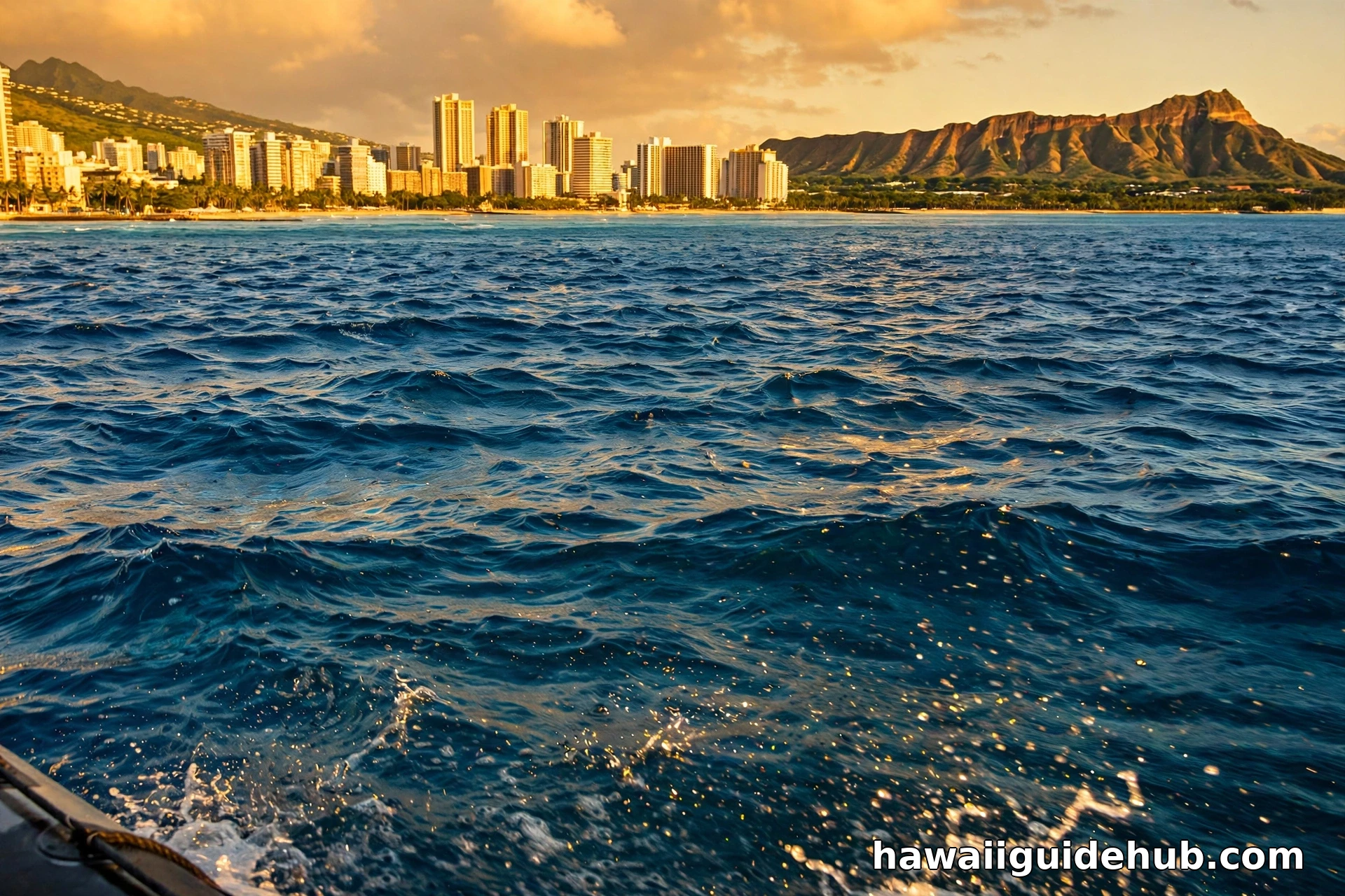
Main Islands Versus the Whole State: Two True Answers
Confusion about Hawaiiʻs latitude usually comes from mixing two different measurements. The first is the stateʻs full extent, from 18 degrees 55 minutes north to 28 degrees 27 minutes north, a range published in standard references for the State of Hawaii. That top figure belongs to Kure Atoll and the chain of low islands and reefs inside Papahānaumokuākea Marine National Monument, most of them uninhabited and closed to general visiting.
The second measurement is the one that matters to travelers: the main Hawaiian Islands, where everyone lives and every trip happens. Those run from about 18.9 degrees north at Ka Lae on the Big Island, the southernmost point of land in the United States, to about 22.2 degrees north on Kauaʻiʻs north shore. When people ask what latitude Hawaii is, this three degree band of warm, inhabited islands is the honest working answer, and it pairs with longitudes between about 154.8 and 160.2 degrees west for the main chain.
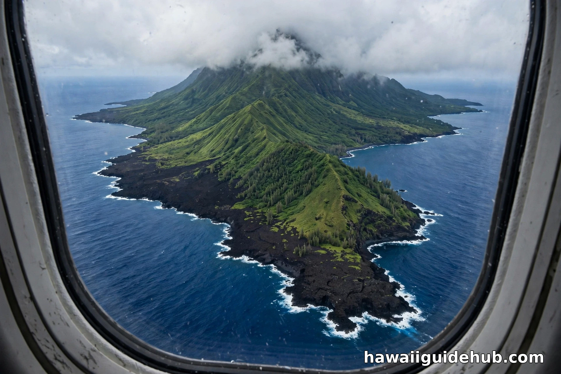
South of the Tropic of Cancer: What That Line Means
The Tropic of Cancer sits at about 23.4 degrees north latitude. It marks the farthest north the sun ever stands directly overhead, which it does there on the June solstice. Everything between the Tropic of Cancer and the Tropic of Capricorn is the tropics, the zone where the sun can pass straight overhead at some point in the year. Because even Kauaʻi, the northernmost main island, sits more than a degree south of the line, all of Hawaiiʻs main islands are genuinely tropical. Hawaii is the only state that can say that about its populated land.
There is one elegant exception worth knowing. Far up the chain, the small island of Mokumanamana in Papahānaumokuākea sits just north of the Tropic of Cancer, and NOAA notes the lineʻs significance in Hawaiian cosmology and traditional navigation: the sunʻs overhead path was called ke ala polohiwa a Kāne, the black shining road of Kāne. The concentration of ceremonial sites on that remote island may reflect exactly that latitude. So the tropic line does cross the Hawaiian chain, just not the part of it anyone can visit.
Lahaina Noon: The Day Your Shadow Disappears
The most delightful consequence of Hawaiiʻs latitude happens twice a year. Because the islands lie between the equator and the Tropic of Cancer, the sun passes directly overhead once on its way north in late spring and once on its way back in midsummer. At that moment, called Lahaina Noon in Hawaii, vertical objects cast almost no shadow at all: signposts, fence posts, and your own body stand in a strange, shadowless light. University of Hawaii geography materials place the Oʻahu dates at about May 26 and July 16, with exact dates shifting by island and by year, earlier for the Big Island and later for Kauaʻi.
Lahaina Noon is more than a photo trick. That near vertical sun is why Hawaiiʻs ultraviolet levels are so serious even on mild days, why solar energy production is strong, and why midday heat management matters on hikes even when the air temperature reads a pleasant 84 degrees Fahrenheit. Latitude, felt on your skin, is the real lesson of the phenomenon.
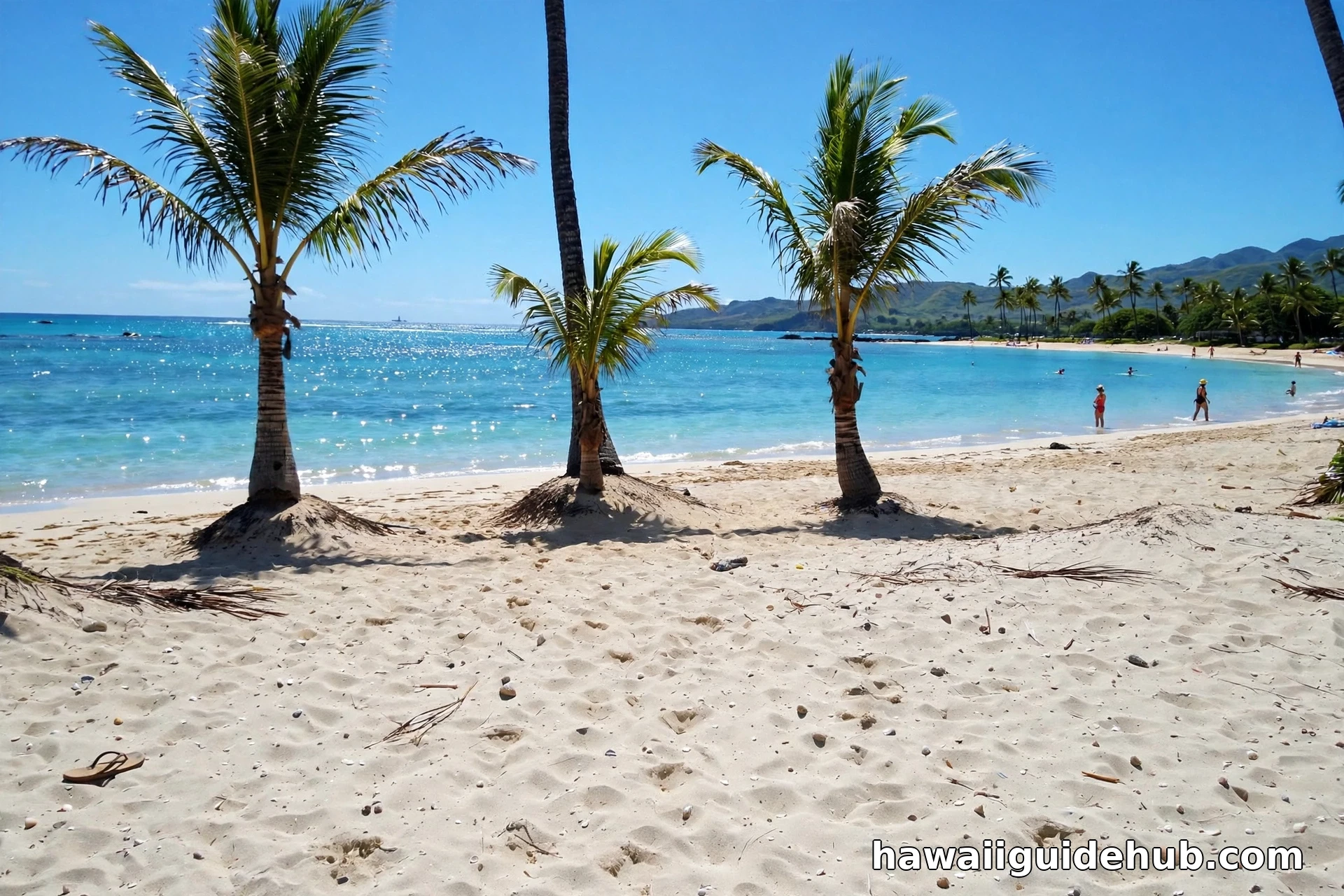
How Latitude Shapes Hawaiiʻs Climate and Daylight
Latitude is the master setting for Hawaiiʻs weather. At 19 to 22 degrees north, the islands receive strong sun in every month, so coastal temperatures vary only modestly across the year, with Honoluluʻs average highs moving from the low 80s in winter to the upper 80s Fahrenheit in summer according to NOAA normals. There is no cold season to avoid, only a wetter and a drier pattern driven by the trade winds. Those steady northeasterly trades are themselves a product of latitude: Hawaii sits on the southern edge of the North Pacific High, in the belt of easterly trade winds that gave the windward and leeward pattern explained in our guide to the windward side of Oʻahu.
Daylight follows the same gentle pattern. Near the tropics, day length changes far less across the year than on the mainland. Honolulu gets roughly 11 hours of daylight around the December solstice and roughly 13 and a half around the June solstice, a swing of under three hours, compared with six or more hours of swing in northern US cities. Travelers notice it as consistency: sunrise near 6 or 7 AM and sunset near 6 or 7 PM, all year, which makes planning beach days and hikes refreshingly predictable. Our seasonal explainers on weather in Hawaii in June and Hawaii weather in January show how small that seasonal difference really is.
Hawaiiʻs Latitude Compared With Florida and Los Angeles
| Place | Latitude | Difference from Honolulu (21.3° N) |
| Honolulu, Hawaii | 21.3° N | Reference point |
| Key West, Florida | 24.6° N | About 3.3° farther north |
| Miami, Florida | 25.8° N | About 4.5° farther north |
| Los Angeles, California | 34.1° N | About 12.8° farther north |
| Mexico City, for scale | 19.4° N | About 1.9° farther south |
The Florida comparison surprises people. Florida spans roughly 24.5 to 31 degrees north, so even Key West, the southernmost city in the continental United States, sits more than three degrees north of Honolulu, and Miami is farther north still. The latitude of Hawaii versus Florida is therefore not close: Hawaii is the more tropical state by a clear margin, which shows up in its warmer winters and its overhead sun. Los Angeles is not a contest at all. At about 34 degrees north, Los Angeles sits nearly 13 degrees, roughly 890 miles of latitude, farther from the equator than Honolulu, closer in solar terms to the subtropics of the Mediterranean than to the tropics of Hawaii. Hawaiiʻs true latitude peers are places like Mexico City, Havana, and Mumbai, a useful recalibration for anyone picturing the islands as simply a warmer California. These are among the many details collected in our roundup of Hawaii facts.
Reading coordinates: one degree of latitude is about 69 miles everywhere on Earth. So the main Hawaiian Islands, spanning about 3.3 degrees, stretch roughly 230 miles from South Point to Kauaʻi, and Honolulu sits about 1,470 miles north of the equator.
Using Latitude to Plan a Smarter Trip
Latitude gives travelers three practical gifts. The first is wardrobe simplicity: because the whole main chain sits in one narrow tropical band, the same light clothing works on every island in every month, and the only real additions are a layer for high elevation outings and a rain shell for windward coasts. The second is schedule confidence. With sunrise and sunset barely moving across the year, a plan built around an early beach, a midday break from the strongest sun, and a sunset dinner works in January exactly as it works in July, something no mainland destination can promise.
The third gift is sun discipline. Visitors from northern latitudes routinely underestimate a sun that climbs nearly overhead, especially on the water and on pale sand, where reflected ultraviolet adds to the direct light. Reef safe sunscreen applied before you leave your lodging, a hat, and shade breaks around midday are not fussy extras at 21 degrees north. They are the local norm, learned by everyone who lives under this sun full time. Treat latitude as a planning tool, and Hawaiiʻs famous consistency starts working for you instead of surprising you.
Common Misconceptions About Hawaiiʻs Latitude
The first misconception is that Hawaii lines up with Florida or Southern California because the flights feel similar in length from parts of the mainland. It does not: it is well south of both. The second is that the state range of 18 to 28 degrees means somewhere inhabited in Hawaii has a mild, subtropical climate. It does not: the high latitudes belong to uninhabited atolls a thousand miles northwest, while every town in Hawaii sits in the tropics. The third is that being tropical means the sun is overhead at noon all year. In fact the shadowless moment comes only twice a year per island, and for the rest of the year the sun simply climbs very high, higher than anywhere on the US mainland ever sees it.
Video: Latitude, Explained Simply
A clear primer on what latitude measures, why the tropics sit where they do, and how parallels such as the Tropic of Cancer are defined.
Frequently Asked Questions
What latitude is Hawaii on?
The main Hawaiian Islands lie between about 18.9 and 22.2 degrees north latitude. Honolulu is at about 21.3 degrees north. Including the remote Northwestern Hawaiian Islands, the full state range is 18 degrees 55 minutes to 28 degrees 27 minutes north.
Is Hawaii in the tropics?
Yes. All of the main islands lie south of the Tropic of Cancer at 23.4 degrees north, which places them inside the tropics. Hawaii is the only US state whose populated islands are entirely tropical.
What is the latitude of Honolulu?
Honolulu sits at approximately 21.3 degrees north latitude and 157.8 degrees west longitude. That puts it farther south than Miami, Key West, and every other major city in the United States.
Is Hawaii farther south than Florida?
Yes, by a clear margin. Florida spans about 24.5 to 31 degrees north, while Hawaiiʻs main islands span about 18.9 to 22.2 degrees north. Even the Big Islandʻs northern coast is south of Key West.
Why does Hawaii have a day with no shadows?
Because Hawaii lies between the equator and the Tropic of Cancer, the sun passes directly overhead twice a year, around late May and mid July depending on the island. At that moment, called Lahaina Noon, vertical objects cast almost no shadow.
Which Hawaiian island is farthest south?
Hawaiʻi Island, the Big Island, is the farthest south, and its Ka Lae, also called South Point, at about 18.9 degrees north, is the southernmost point of land in the United States. Every other main island sits progressively farther north as the chain runs northwest toward Kauaʻi.
Does latitude explain Hawaiiʻs warm weather?
It is the biggest single reason. Strong, near vertical sun all year keeps coastal temperatures in a narrow warm band, and Hawaiiʻs position in the trade wind belt adds steady breezes and the windward rain pattern. Elevation, not latitude, is what creates the islandsʻ cool mountain climates.
One number, about 21 degrees north, quietly explains the Hawaii that travelers fall for: the shadowless noon, the 84 degree afternoons in January, the trade winds combing the palms, and sunsets that arrive near 6 PM in every season. Latitude is not trivia here. It is the islandsʻ operating system, written across the sky twice a day, every day of the year.