How Big Is Kauai? The Garden Isle’s Size, Dimensions and What They Mean for Your Trip

Every visitor to the Garden Isle asks the question at some point, usually while staring at the rental car map on the first morning. How big is Kauai? Can you see it all in a week? Do you need to stay in one place, or can you base yourself in Poʻipū and still make it to the North Shore for sunset?
Here is the short version before we go deeper. Kauaʻi covers about 552 square miles, making it the fourth largest of the Hawaiian Islands and roughly 25 miles across in each direction. It is small enough that you can drive from one end of the road system to the other in about two hours, yet large and varied enough that a week barely scratches the surface. That tension between small and vast is what makes Kauai special, and understanding the island’s true scale will help you plan a much better trip.
The Short Answer: Kauai by the Numbers
According to the U.S. Census Bureau and the Hawaii State Data Book, the island of Kauaʻi has a land area of 552.35 square miles (1,430.59 square kilometers). You may see a slightly different figure, 562.3 square miles, in some references; that number comes from a different way of measuring that includes the island’s smaller surrounding islets. Either way, Kauai sits comfortably in fourth place among the main Hawaiian Islands by size.
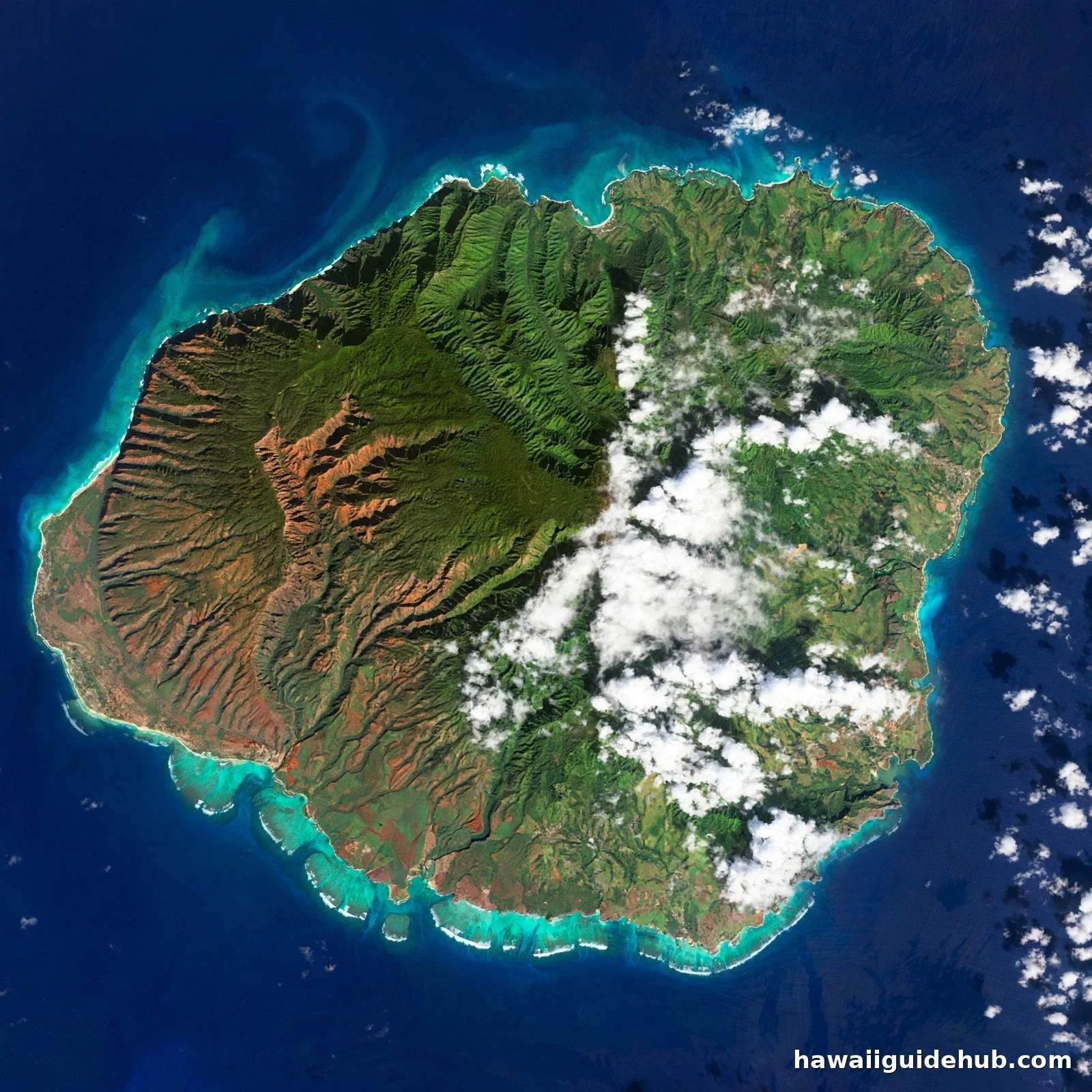
A few more numbers set the scene. The island is about 25 miles wide from north to south and roughly 25 miles long from east to west, giving it a nearly circular shape when viewed from above. Its coastline runs for about 90 miles. The island sits roughly 100 miles northwest of Oʻahu across the Kauaʻi Channel. And it is home to about 73,000 full-time residents, based on the 2020 Census, with Kapaʻa as the largest town and Līhuʻe serving as the county seat where the airport is.
That is the numerical answer. But numbers on a page rarely change how a place feels, so let us put Kauai’s size into real-world terms that actually help you plan.
How Kauai Compares to the Other Hawaiian Islands
Kauai is the fourth largest of the main Hawaiian Islands, and the order tells you a lot about what each island feels like on the ground.
The Big Island of Hawaiʻi dominates the list at 4,028 square miles, more than seven times the size of Kauai. Maui comes next at 772 square miles, and Oʻahu is third at about 598 square miles, only slightly bigger than Kauai. After Kauai, the sizes drop off quickly: Molokaʻi at 260 square miles, Lānaʻi at 141, and Niʻihau at roughly 68.
The Oʻahu comparison is the interesting one. Kauai is just a little smaller than Oʻahu in land area, yet the two islands could not feel more different. Oʻahu packs more than a million residents into its 598 square miles, with Honolulu’s skyline rising over Waikīkī. Kauai fits 73,000 people into almost the same space. That difference in density is the whole story of why Kauai feels like an escape: same ballpark acreage, a fraction of the development, and huge stretches of wilderness that no road touches.
Kauai’s Shape and Dimensions: Nearly a Perfect Circle
Seen from the air, Kauai is unusual among the Hawaiian Islands because it is almost round. Maui has its distinctive double-lobed shape, and the Big Island sprawls irregularly, but Kauai looks like a green coin dropped in the ocean. That roundness comes from the island’s origin as a single large shield volcano, now heavily eroded after more than five million years of wind and rain.
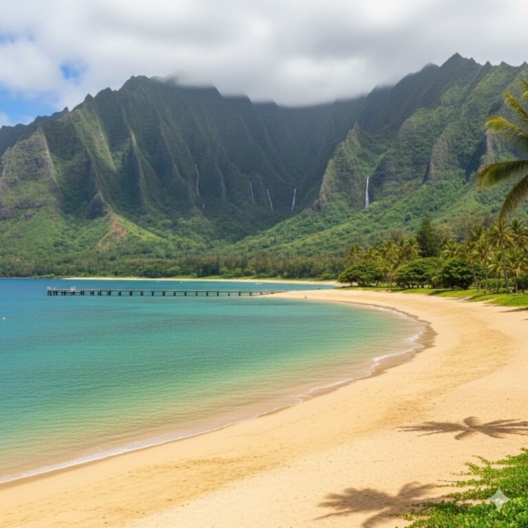
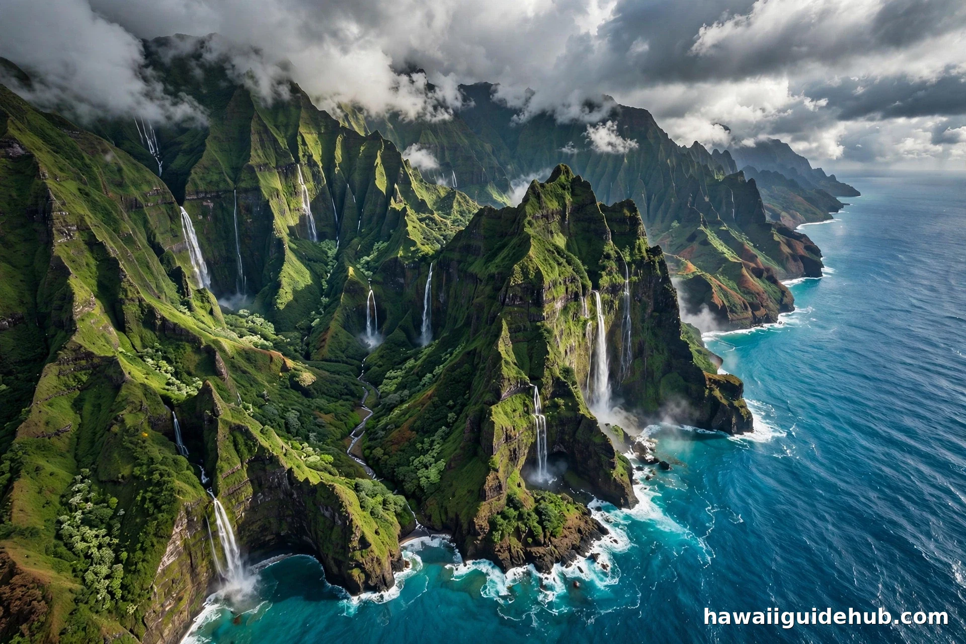
The island measures about 25 miles across in both directions. To picture that, imagine a circle you could walk across in a long day. The nearly circular outline also means the island has four distinct coastal regions packed close together: the dramatic Nā Pali Coast on the northwest, the lush North Shore, the resort-lined South Shore around Poʻipū, and the dry, red-rock West Side near Waimea. Each one feels like a different island, yet none is more than an hour or two of driving from the others.
How Big Is Kauai Compared to Places You Already Know
Square miles are abstract until you anchor them to something familiar. Here are a few comparisons that travelers from different places can picture.
If you are from the U.S. mainland, think of Rhode Island. At 1,214 square miles, Rhode Island is more than twice the size of Kauai. So Kauai is smaller than the smallest state, comfortably so. If you know Singapore, flip it around: Singapore is about 284 square miles, so Kauai is roughly twice the size of Singapore. And if you are trying to picture it against Manhattan, which is about 23 square miles, Kauai would swallow nearly two dozen Manhattans.
Another useful comparison is driving time rather than area. Kauai is small enough that nowhere on the island is truly far from anywhere else, at least in miles. The catch, as you will see in a moment, is that the road system does not circle the whole island, so some journeys that look short on the map require a longer route or are simply impossible by car.
What Kauai’s Size Means for Driving: Times and Distances
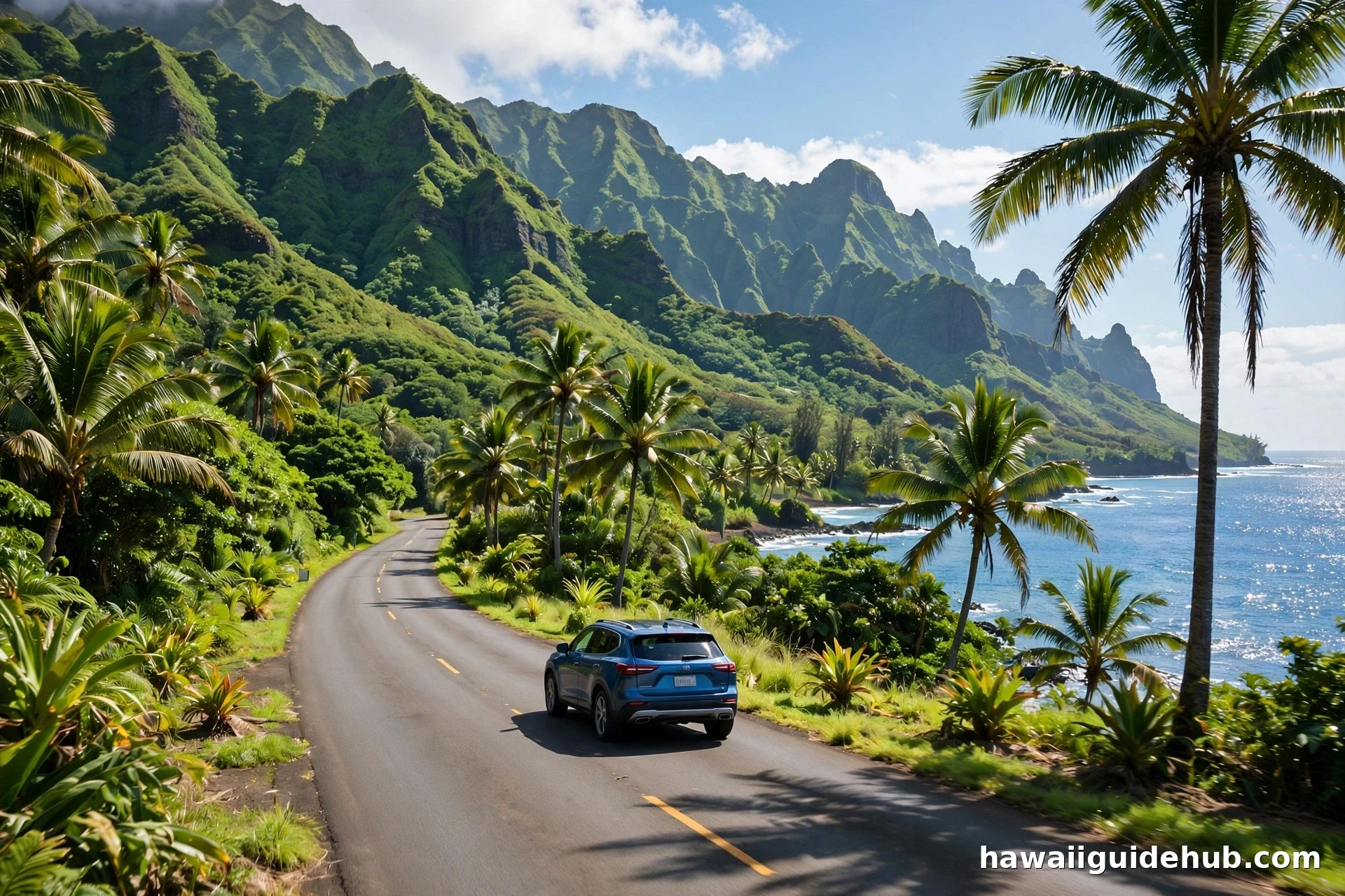
This is the section most visitors actually need. The island’s road network is essentially one main highway that runs from the north end at Hāʻena, around the east side through Līhuʻe, and down the west side to Waimea and Kekaha. Roughly 15 miles of the Nā Pali Coast has no road at all, which means you cannot drive a full loop around the island. Every trip is an out-and-back, which is worth knowing before you plan your days.
With that in mind, here are approximate driving times without stops, starting from Līhuʻe, where most visitors arrive. Līhuʻe to Poʻipū on the South Shore takes about 30 minutes. Līhuʻe to Hanalei on the North Shore takes about 45 minutes. Līhuʻe to Waimea on the West Side takes about 40 minutes. And the longest straight drive you can make, from the end of the road at Hāʻena down to Kekaha on the west side, takes roughly two hours if you do not stop.
Those times are honest but optimistic. Traffic through Kapaʻa on the east side can slow things down during commuting hours, and the two-lane stretches near Hanalei move slowly when everyone is pulling over for the scenery. Rain on the North Shore, where some of the wettest weather on Earth falls, can turn a 45-minute drive into something longer. Still, the practical takeaway holds: you can have breakfast in Līhuʻe, spend the morning in Waimea Canyon, and be back on the North Shore for sunset if you plan well. There are few islands anywhere that give you that range of landscapes in that little driving. When you are mapping out your days, our guide to the best things to do on Kauai can help you group sights by region so you spend less time in the car.
What the Island’s Size Means for Visitors: Four Regions, One Small Island
Kauai’s compact size shapes every trip decision, from where you sleep to how you split your days. The island divides naturally into four regions, and its 25-mile span means you will probably visit all of them, which is part of the joy.
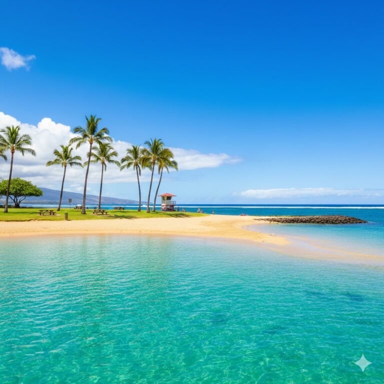
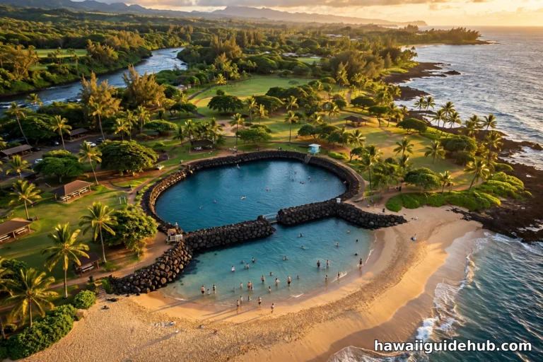
The South Shore, anchored by Poʻipū, is the sunniest and driest region, with calm beaches that are ideal for families. The East Side, called the Coconut Coast, is where Līhuʻe and Kapaʻa sit; it is the island’s population center and the most convenient base for exploring in all directions. The North Shore, with Hanalei and Princeville, is the lushest and most dramatic region, home to the famous Hanalei Bay and a string of postcard beaches. The West Side is the driest and least visited, with Waimea town and the gateway to Waimea Canyon.
Because the island is small, many visitors stay in one place and day-trip to the others. That works, but it means a lot of backtracking along the same highway. An increasingly popular strategy is to split your stay: a few nights on the South Shore or East Side, then a few nights on the North Shore. That way you cut your driving time in half and get two different sunsets, two different morning routines, and two different versions of the Garden Isle. If you do settle on the North Shore, our roundup of things to do in Hanalei will keep your days full without much driving at all.
One more practical note about size: Kauai has no true big city. Līhuʻe is the commercial hub, but it is a small town by mainland standards, and Kapaʻa is the largest community on the island. Outside these towns, much of the island is rural, with farms, small villages, and long stretches of undeveloped coast. Plan your fuel, food, and shopping stops accordingly, especially heading to the far North Shore or the West Side, where services thin out quickly.
See the Garden Isle: A Video Tour of Kauai
Sometimes the scale of a place is easier to grasp in motion than in words. This video tour walks through the island’s main regions, from the Nā Pali Coast and Waimea Canyon to Hanalei Bay and Poʻipū, giving you a feel for how much variety fits into 552 square miles.
Size Beyond Square Miles: Height, Age and the Canyon That Swallows Scale
Kauai’s size is not only horizontal. The island rises from the ocean floor to a summit of 5,243 feet at Kawaikini, the highest point on the island, and that vertical dimension packs in an astonishing range of climates and landscapes. Within a few miles of driving you can move from a sunny beach to a misty mountain plateau.
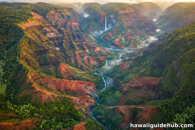
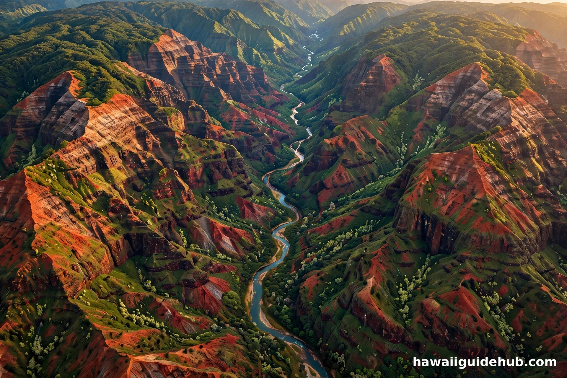
Nowhere is that vertical scale more obvious than at Waimea Canyon, the ten-mile-long, 3,600-foot-deep gorge on the island’s west side that Mark Twain nicknamed the Grand Canyon of the Pacific. Standing at one of the canyon lookouts, you get a sudden, physical sense of how much island is hidden inside those 552 square miles. The canyon is longer than the island is wide in places, and it is only one of several deep valleys carved into the island’s flanks.
Age plays into size too. Kauai is about 5.1 million years old, the oldest of the main Hawaiian Islands, and that long history is written in its eroded valleys and sea cliffs. The Nā Pali Coast, roughly 15 miles of roadless wilderness on the northwest shore, exists because the island has had millions of years of rain to carve its edges. Mount Waiʻaleʻale, near the island’s center, is one of the wettest places on Earth, averaging well over 400 inches of rain a year, and that relentless water is what sculpted the island’s famously dramatic terrain. If you want to experience that scale on foot, the island’s outdoor adventures, from hiking to snorkeling, are the best way to feel the island’s size in your legs.
How Full Is the Island? Population, Density and the Garden Isle Feel
An island’s size matters most in relation to how many people share it. Kauai’s 2020 Census population of 73,298 works out to roughly 130 people per square mile. Compare that to Oʻahu, where more than a million residents produce a density over ten times higher, and you understand why Kauai feels so uncrowded even in busy months.
That low density is protected in part by geography and in part by policy. About half of the island is effectively inaccessible: the Nā Pali Coast wilderness, the Alakaʻi Swamp plateau, and the steep interior valleys have no roads and few trails. Building height is limited by a famous local rule that no building may stand taller than a coconut palm, which keeps development low and spread out. The result is an island where the developed areas feel like small towns connected by scenic road, and the wild areas feel genuinely wild.
For visitors, the practical meaning is simple. You will never feel lost in a crowd on Kauai the way you might on Oʻahu, but you should still book the popular experiences ahead of time, because the island’s small infrastructure has limited capacity. Boat tours to the Nā Pali Coast, helicopter flights, and permits for the most popular hikes sell out precisely because the island is small and its wonders are concentrated. And if you prefer to wander away from the main sights, the island rewards it: our guide to Hawaii’s hidden gems and off-the-beaten-path activities has ideas for the quieter corners.
Kauai at a Glance
For easy reference, here are the key facts about Kauai’s size and scale in one place.
The Bottom Line on Kauai’s Size
Kauai is big enough to fill a week or two without repeating yourself and small enough that you can change regions on a whim. Its 552 square miles hold four distinct coasts, a ten-mile canyon, one of the wettest mountains on Earth, and about 90 miles of shoreline, yet the longest drive you will ever make is around two hours. That combination is rare, and it is the reason so many travelers describe Kauai as the island that feels just right.
The question behind the question, how big is Kauai, is usually really about planning: how much time do I need, and how far apart is everything? The honest answer is that the island’s size works in your favor. Give it at least five days, split your stay if you can, and let the short drives surprise you. The Garden Isle is compact on the map and enormous once you start exploring.