Waimea Canyon Hiking: Trail Differences, Access and Preparation

Access update — checked October 7, 2026: The State Parks notice updated October 5 says Kōkeʻe Road and Kauai state parks other than the limited Wailua River reopening remain closed. Kauai state-park camping also remains closed. This article is planning background for a future permitted visit, not confirmation that trails or lookouts are open. Check official reopening notices before traveling.
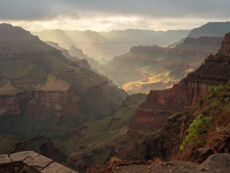
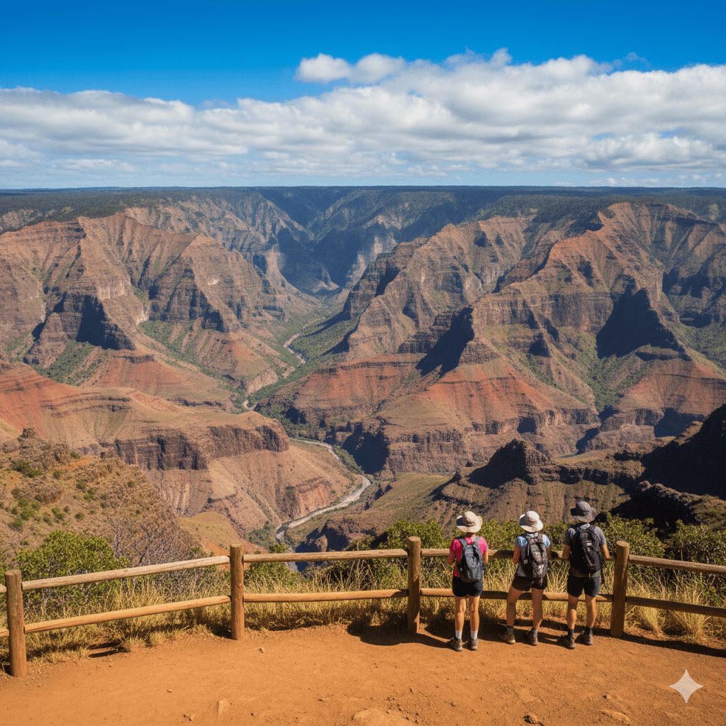
Waimea Canyon and neighboring Kōkeʻe offer very different kinds of walks: a short roadside nature loop, trails along the canyon rim and strenuous descents to the canyon floor. Choosing the right route means checking its exact name, starting point, elevation change and current status.
A common source of confusion is the word “canyon.” Canyon Trail near Waipoʻo Falls, the longer Waimea Canyon Trail on the canyon floor and Kukui Trail are separate routes. Likewise, Cliff Trail is a short spur, not a path joining every lookout along the mountain road.
Check Access Before Choosing a Hike
Start with Waimea Canyon State Park’s official page and the latest closure notices. A park’s ordinary opening hours or a trail description can remain online during a closure. The closure notice takes priority.
Check road access and the specific trail separately. A reopening of one section of forest reserve does not reopen all nearby trails. DLNR’s September 19, 2026 announcement specifically kept Kukui and other Nā Ala Hele canyon trails closed despite a limited reopening elsewhere in Waimea Valley. For seasonal trip-planning context while closures are in effect, our Kauai winter guide covers weather and access patterns to check before committing to dates.
Do not pass barricades or seek an unofficial approach around a closure. Storm damage, unstable trees, damaged crossings and utility work may not be visible from the road. Postpone the hike when access has not been officially restored.
Understand the Trail Names and Distances
The following lengths come from the DLNR trail poster and individual trail pages. They describe trail segments, not a promise of current access. Total walking distance depends on your legal parking location, approach, connectors and return route.
| Route | Published length | What it describes |
|---|---|---|
| Iliau Nature Loop | 0.3-mile loop | Short roadside nature walk |
| Kukui Trail | 2.5 miles one way | Strenuous descent to the canyon floor; roughly 5 miles out and back |
| Canyon Trail | 1.8-mile listed trail length | Rim route toward Kōkeʻe Stream and the top of Waipoʻo Falls; verify the usable route and approach |
| Cliff Trail | 0.1-mile spur | Short branch off Canyon Trail; approach walking is additional |
| Black Pipe Trail | 0.5-mile segment | Connector between Canyon Trail and Halemanu Road; not a 4.8-mile canyon-floor descent |
Iliau Nature Loop: A Shorter Option When Open
The Iliau Nature Loop begins near the start of Kukui Trail. DLNR describes an easy, 0.3-mile loop with about 40 feet of elevation gain, native upland scrub and views of Waimea and Waiʻalae canyons.
Its short distance makes it different from a canyon descent, but “easy” does not mean accessible to every visitor or safe in every condition. Check footing, weather, barriers and the ability of everyone in the group. Do not continue onto Kukui simply because it begins nearby.
Kukui Trail: Plan for the Climb Back Out
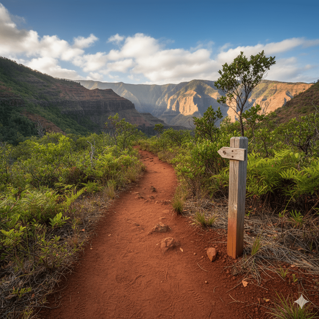
DLNR lists Kukui Trail as difficult, with 2.5 miles each way and approximately 2,200 feet of descent to the canyon floor. The return requires regaining that elevation. An easy-feeling downhill start can therefore give a misleading impression of the full effort.
This is a substantial hike requiring adequate fitness, water, food, navigation and daylight. Camping is by permit when available; a day hike does not authorize an overnight stay. Do not assume the canyon floor provides safe drinking water or an easy exit to town.
Canyon Trail and Waipoʻo Falls
The state trail poster lists access from Puʻu Hinahina Lookout or Halemanu Road and describes the route along the canyon rim toward Kōkeʻe Stream. The exact distance you walk depends on the starting point and which sections are legally accessible.
The local Kōkeʻe museum organization, Hui o Laka, explains in its hiking resources that the route reaches the top of Waipoʻo Falls. It does not provide a full frontal view of the waterfall. Its current description also warns of damaged or inaccessible sections beyond the stream. Use official current access information rather than assuming an old full-route map remains usable.
Do not approach the waterfall edge, attempt to find a route down beside the falls or enter a stream in high or swift flow. A photograph of the entire waterfall is better sought from an authorized distant lookout when that lookout is open.
Cliff Trail and Black Pipe Trail
Cliff Trail is a short viewpoint spur off Canyon Trail. It does not connect Puʻu Hinahina with Puʻu o Kila Lookout. A short published spur length excludes the walk needed to reach it, so calculate the whole outing before choosing it for your group.
Black Pipe Trail is an alternate connection between Canyon Trail and Halemanu Road associated with the former plantation ditch system. Its distance should not be confused with the total length of a loop assembled from several trails. Confirm the exact junctions on an official map and stay on the designated route.
Lookouts Are Separate Destinations
Waimea Canyon’s roadside lookouts offer canyon views without committing to a long descent when the road and facilities are open. Our Puʻu Hinahina lookout guide covers that stop in more detail.
Kalalau and Puʻu o Kila lookouts are farther along the Kōkeʻe area road and look toward Kalalau Valley. They are not interchangeable with the main Waimea Canyon viewpoints. Check the status of each road section, parking area and lookout before adding it to a driving plan.
Clouds and rain can hide a view at any time. Neither an 8–11 a.m. arrival nor a higher lookout guarantees visibility. Stay behind railings and avoid informal cliff-edge paths even if other visitors use them.
Weather, Equipment and Turnaround Decisions
Plan for changing mountain conditions, slippery ground and both sun and rain. Wear footwear with suitable traction, carry rain protection and a warm layer, and bring a map you can use without mobile reception. A charged phone, light, whistle and first-aid supplies are useful, but equipment cannot compensate for a closed or unsuitable route.
Bring enough drinking water and food for the route, heat and possible delays. A fixed two-liter allowance is not sufficient for every person or hike. Avoid relying on untreated stream water, a functioning water fountain or a shop being open.
Tell a trusted person your route and expected return time. Set a turnaround time that leaves a margin before darkness. Stop or turn back while the route remains safe if conditions deteriorate, someone is struggling or you are uncertain of the correct path.
Do not cross a rising or fast-flowing stream. Rain upstream can create danger even when it is not raining where you stand. If lost or injured, avoid wandering onto uncertain terrain; call 911 when possible, give your location and follow emergency instructions.
Protect the Forest and Cultural Resources
Stay on designated trails, leave plants and rocks in place and keep away from wildlife. Do not disturb stone structures or cultural objects. The landscape has living cultural significance beyond its role as a visitor attraction.
Follow the park’s Rapid ʻŌhiʻa Death precautions: clean soil from footwear and equipment before and after forest visits, do not damage ʻōhiʻa and do not transport its wood or plant parts. Follow the detailed cleaning and movement guidance linked from the official park page.
Fees, Driving and Overnight Plans
When the park is operating, the official Waimea Canyon page lists nonresident entry at $5 per person, with children aged 3 and under free, and noncommercial nonresident parking at $10 per vehicle. Hawaii residents with qualifying identification are exempt. Listed parking tickets cover Waimea Canyon and Kōkeʻe state-park lots. Recheck the current rates and payment instructions before a future visit.
Allow time for winding mountain roads, roadwork, stops and the actual trailhead approach. Do not rely on a blanket 30-minute drive from Poipu or 45 minutes from Lihue. Check current road notices and do not follow a navigation app past a closure.
Camping or cabin availability must be confirmed through the managing authority. Do not camp informally or treat an existing fire ring as permission to light a fire. Our park fire and barbecue rules guide explains why permission is specific to the site.
For the rest of your itinerary, use the Kauai planning guide, then verify that each chosen destination is open. A flexible alternative is part of planning a responsible canyon day.