What Is the Big Island in Hawaii?

The Big Island is Hawaiʻi Island itself, the largest island in the Hawaiian chain and the island that shares its name with the state. That shared name is exactly why the nickname exists. Calling it the Big Island separates the island from the State of Hawaiʻi in everyday conversation, and the name fits: at 4,028 square miles, state figures confirm, this one island is larger than all the other Hawaiian islands combined.
This page answers the question completely. It explains what the Big Island is, why it is called that, how big it really is, what it is known for, how its regions differ, how you get there and get around, what the weather does, and the practical facts a first time visitor needs before choosing where to stay.
The Big Island at a Glance
| Official name | Hawaiʻi Island, County of Hawaiʻi |
| Land area | 4,028 square miles, about 62.7 percent of the state’s land area |
| Position | Largest and southeasternmost of the main Hawaiian islands |
| Youngest island | About 800,000 years old and still growing through volcanism |
| Highest point | Mauna Kea summit, 13,796 feet above sea level |
| Main towns | Hilo (east) and Kailua-Kona (west) |
| Airports | Kona International (KOA) and Hilo International (ITO) |
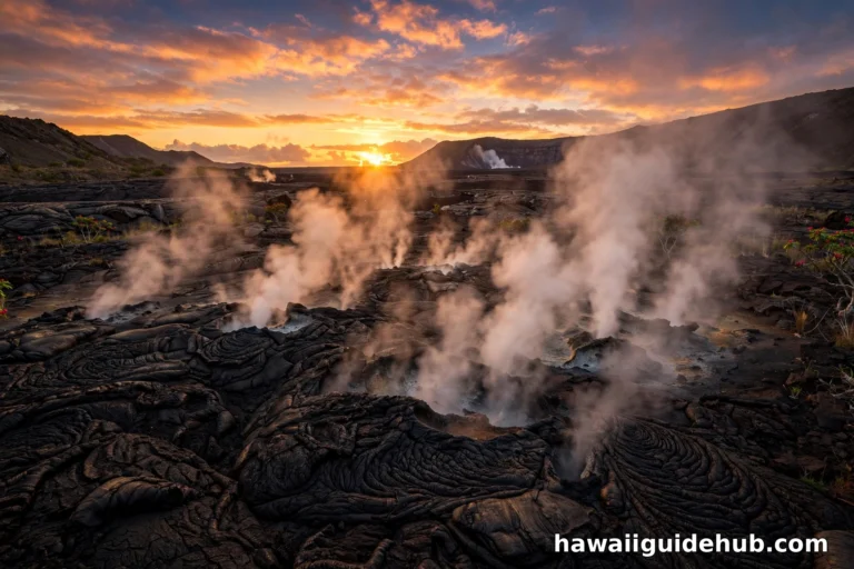
| Signature park | Hawaiʻi Volcanoes National Park, home of Kīlauea and Mauna Loa |
Why Is It Called the Big Island?
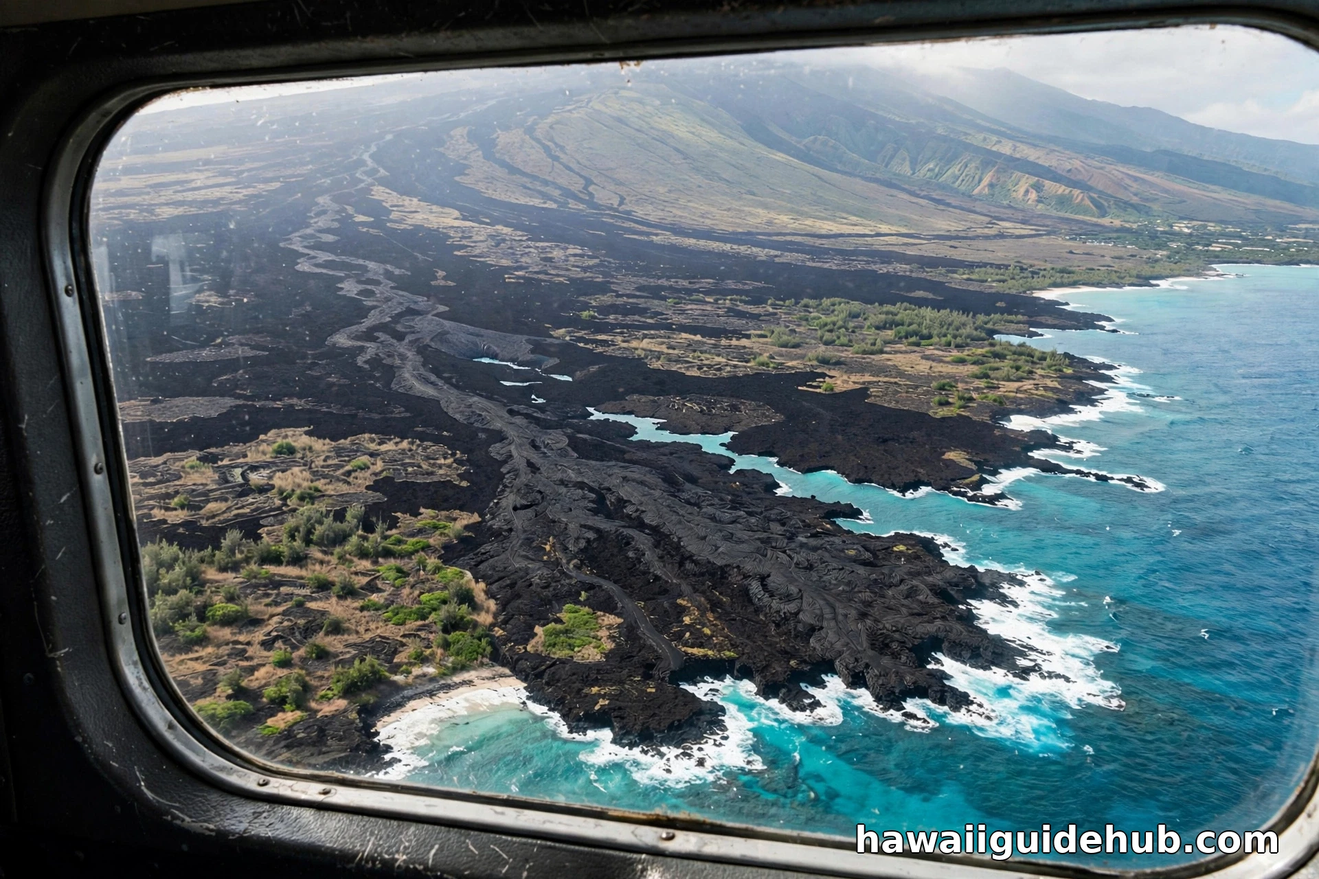
Two reasons. First, the name problem: the island and the state are both called Hawaiʻi, so residents and visitors needed a plain way to say which one they meant. Second, the size itself. The island covers 4,028 square miles, nearly twice the combined area of the other main islands, and it is still expanding as Kīlauea adds new land along the southeast coast. No other island in the chain earns the nickname. When a local says the Big Island, everyone in Hawaiʻi knows exactly which island is meant.
The nickname is informal but universal. County government uses Hawaiʻi Island and the County of Hawaiʻi, airlines list Kona and Hilo, and residents often name their district instead, Kona side or Hilo side, because those two words say more about weather and daily life than the island name alone.
How Big Is the Big Island, Really?
Numbers help. The island measures roughly 93 miles at its widest, and driving from Kailua-Kona to Hilo takes about an hour and a half to two and a half hours depending on the route you choose: the northern highway through Waimea, the Saddle Road between the great volcanoes, or the long southern route past Ka Lae. A full circle of the island is a serious road trip of several hundred miles, which is why most visitors pick a side and base themselves there.
Scale changes how you plan. On Oʻahu you can cross the island in under an hour. On the Big Island, a day trip from a Kona resort to Hawaiʻi Volcanoes National Park means roughly two hours of driving each way. Travelers who understand that on day one plan better trips, as our Hawaii itinerary guide shows when it splits Big Island days between the two coasts instead of crisscrossing the island daily.
The Six Districts and Two Coasts
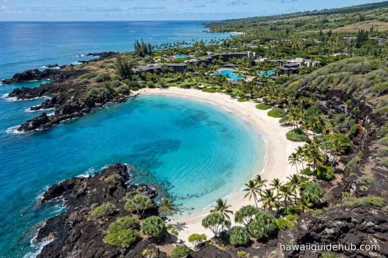
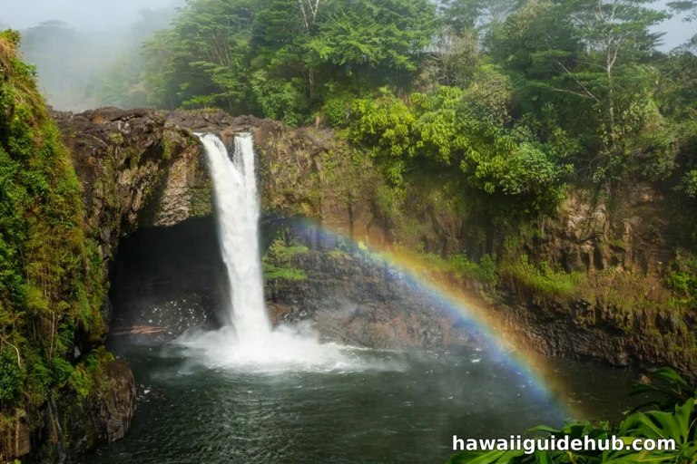
The island divides into six main districts: Hāmākua, Hilo, Puna, Kaʻū, Kona, and Kohala. For visitors, the simpler split is windward versus leeward. The east side, Hilo and the Hāmākua Coast, faces the trade winds and takes the rain. Hilo receives more than 130 inches of rain a year, feeding waterfalls, botanical gardens, and some of the greenest country in the state. The west side, Kona and the Kohala Coast, sits in the rain shadow of the volcanoes and is far drier and sunnier, with parts of the Kohala Coast receiving less than ten inches of rain a year.
Kona Side: Dry, Sunny, and Resort Facing
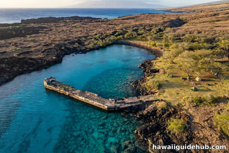
Kailua-Kona anchors the west. Expect lava fields, coffee farms on the mountain slopes, calm snorkeling bays such as Kealakekua Bay, and the island’s main resort strip running north along the Kohala Coast. Most first time visitors who want beach weather stay on this side, and our guide to things to do in Kona covers its highlights in depth.
Hilo Side: Wet, Green, and Local
Hilo is the county seat and the island’s largest town, a working port city of plantation era storefronts, farmers markets, and rain washed gardens. It is the natural base for the volcano park, the waterfalls of the Hāmākua Coast, and the wild Puna district. Travelers who prefer local life over resort polish usually love Hilo, provided they pack a rain jacket and mean it.
Five Volcanoes Built This Island
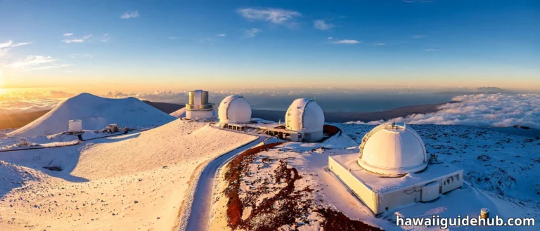
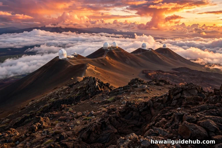
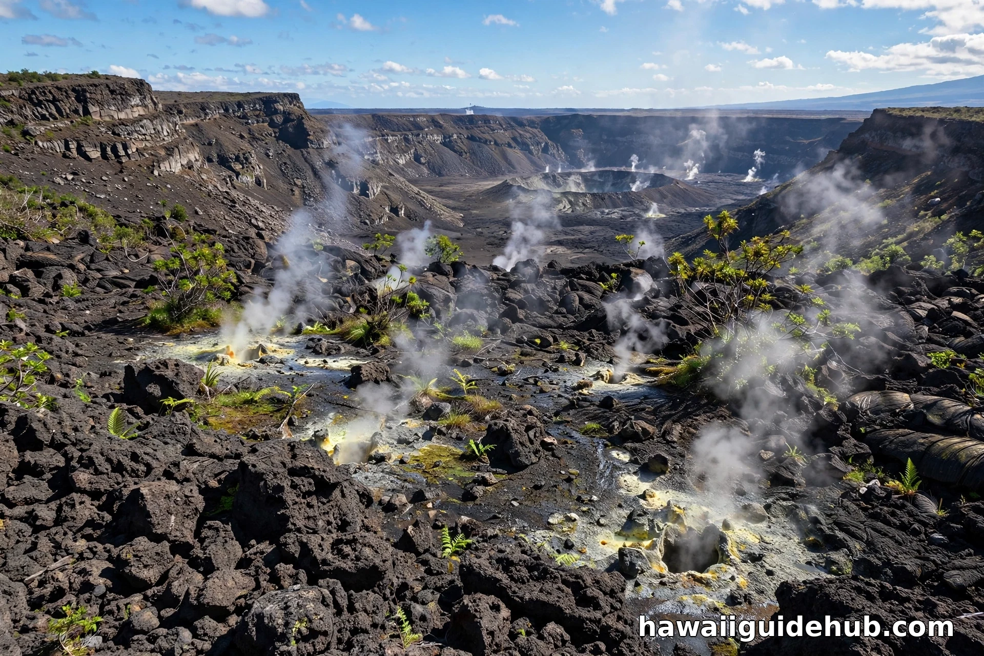
The Big Island is the product of five shield volcanoes: Kohala, the oldest and now extinct; Mauna Kea, dormant and the tallest mountain on Earth measured from its base on the ocean floor; Hualālai, which last erupted in 1801; Mauna Loa, one of the largest volcanoes on the planet; and Kīlauea, among the most active volcanoes in the world. Mauna Kea’s summit, at 13,796 feet, can receive snow in winter, so the island can hold snowfields and surf breaks on the same January day.
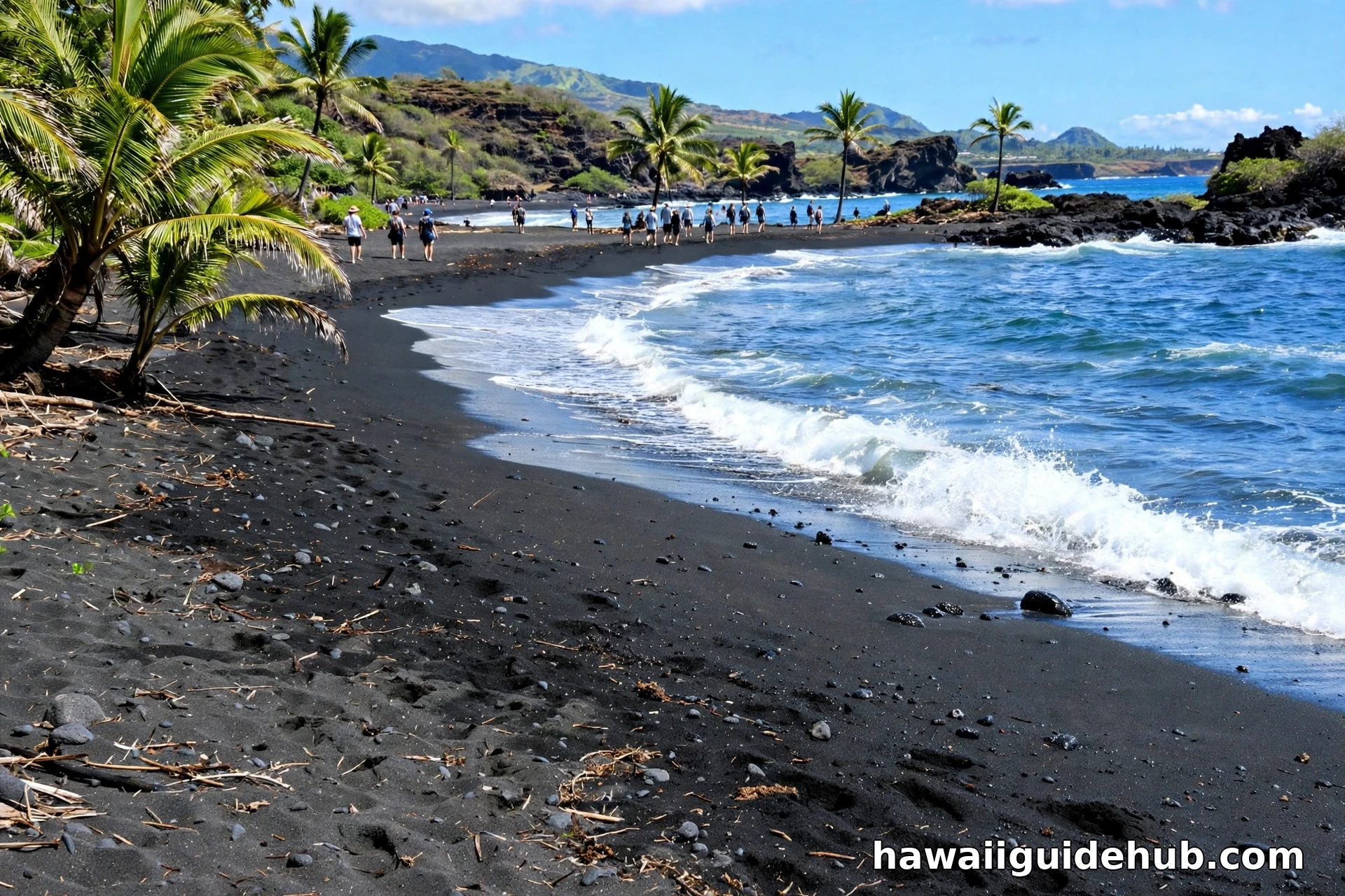
That geology explains the island’s famous variety. Travel writers often note that the Big Island packs an unusual range of climate zones into one island, from tropical rain forest to dry desert scrub to cool upland pasture. Black sand beaches form where fresh lava shattered into the sea, green sand appears at Papakōlea near the southern tip, and the white sand crescents of the Kohala Coast sit on older, weathered flows. Our green sand beach guide explains the rarest of those colors.
What the Big Island Is Known For
Active volcanoes come first: Hawaiʻi Volcanoes National Park is the island’s signature attraction and a UNESCO World Heritage Site. Add Kona coffee, grown in a narrow belt on the Kona slopes and protected by law as a regional product. Add astronomy, since the Mauna Kea summit hosts major observatories above the clouds. Add history: Kamehameha I, who unified the Hawaiian Islands, was born in Kohala, and the island holds sites such as Puʻuhonua o Hōnaunau, the place of refuge. Add ranching country around Waimea, manta ray night snorkeling off Kona, and the southernmost point in the United States at Ka Lae.
How the Big Island Compares to the Other Islands
Visitors often ask whether the Big Island feels like Oʻahu or Maui, and the honest answer is neither. Oʻahu packs a major city, dense resort districts, and the state’s population into 597 square miles. Maui balances resort areas and small towns across 727 square miles. The Big Island spreads a population of roughly 200,000 across 4,028 square miles, so the dominant feeling is space: long lava plains with no buildings, ranch land rolling to the horizon, and small towns separated by real drives. It is the most rural of the four main visitor islands and the one where the landscape, not the built environment, sets the agenda.
It is also the island of extremes. It holds the state’s highest summit and its only active volcanic landscapes you can walk beside. It holds both a city that ranks among the wettest in the United States and a coast dry enough for desert scrub. It has the famed white sand of Hāpuna Beach and sand in black and green found almost nowhere else. Travelers who love variety inside a single destination tend to rank it first, while travelers who want everything within a short taxi ride usually prefer Oʻahu. Neither answer is wrong. They are simply different islands, and the Big Island’s size is the root of every one of those differences.
Food and Daily Life on the Big Island
Daily life follows the land. Kona coffee is the famous crop, but the island also produces macadamia nuts, tropical fruit, grass fed beef from its ranch country, and a wide range of produce sold at farmers markets in Hilo, Kailua-Kona, and Waimea. Plate lunch counters, poke shops, and small bakeries anchor town food scenes, and the Hilo market is one of the best places in the state to see what island farms actually grow. For a first visit, eating across both coasts is its own quiet tour of the island’s climates, since the rainy east grows what the dry west cannot, and the ranch uplands supply what neither coast produces.
Getting There and Getting Around
Two airports serve the island, and choosing between them shapes your trip. Kona International Airport (KOA) on the west side receives most mainland flights and sits minutes from Kona resorts. Hilo International Airport (ITO) serves the east side and connects well through Honolulu. Many visitors fly into one airport and out of the other to avoid backtracking, a strategy our Hawaii airports guide explains in detail.
A rental car is close to essential. Public transit exists but is built for residents, distances are long, and the island’s best places, volcano craters, coffee farms, remote beaches, and waterfall valleys, are spread across those 4,028 square miles. Book the car with the flight, not after it, especially in peak season.
Weather, Safety, and Practical Notes
Temperatures at sea level stay warm year round, typically in the high 70s and 80s Fahrenheit, with cooler air as you climb toward Waimea, Volcano village, and the Mauna Kea visitor station at 9,200 feet. Pack layers for any summit or crater rim visit. Safety on this island has a volcanic accent: check the National Park Service and USGS Hawaiian Volcano Observatory updates before visiting eruption areas, stay on marked trails across lava fields, and respect closures around active vents and unstable cliffs. Ocean safety follows the usual Hawaiian rule: swim at lifeguarded beaches and check surf conditions first, since several famous Big Island beaches have strong currents.
Video: Kona or Hilo, Where to Stay on the Big Island
This comparison walks the island from both sides, with drive times and honest tradeoffs between the sunny Kona coast and green Hilo.
Frequently Asked Questions
What is the Big Island in Hawaii?
It is Hawaiʻi Island, the largest island in the state at 4,028 square miles. The nickname distinguishes the island from the State of Hawaiʻi, which shares the same name.
Is the Big Island the same as Honolulu?
No. Honolulu is the capital city, and it is on Oʻahu, a different and much smaller island to the northwest. The Big Island’s main towns are Hilo and Kailua-Kona, and it has no large city comparable to Honolulu.
How many days do you need on the Big Island?
Five to seven days is a comfortable minimum for both coasts, the volcano park, and a few beaches without rushing. Three days can cover one side well. Because of the island’s size, trying to see everything in two days mostly means seeing the inside of a car.
Which airport should you use for the Big Island?
Use Kona (KOA) for Kona and Kohala Coast stays and most mainland flights. Use Hilo (ITO) for the east side and volcano focused trips. Flying into one and out of the other is a popular way to avoid backtracking.
Why is the Big Island still growing?
Kīlauea, on the island’s southeast flank, is one of the most active volcanoes on Earth. Its eruptions periodically add new land where lava reaches the sea, slowly extending the island’s coastline.
The Big Island earns its name twice, once on the map and once on the ground. It is the youngest, largest, and most geologically alive island in Hawaiʻi, big enough to hold snowy summits, rain forests, deserts, coffee farms, ranch towns, and an erupting volcano inside a single county. Give it the time its size demands, pick your coast with the weather in mind, and the island that shares the state’s name will quickly become the part of Hawaiʻi you describe first when you get home.