
Waikīkī Walking Map
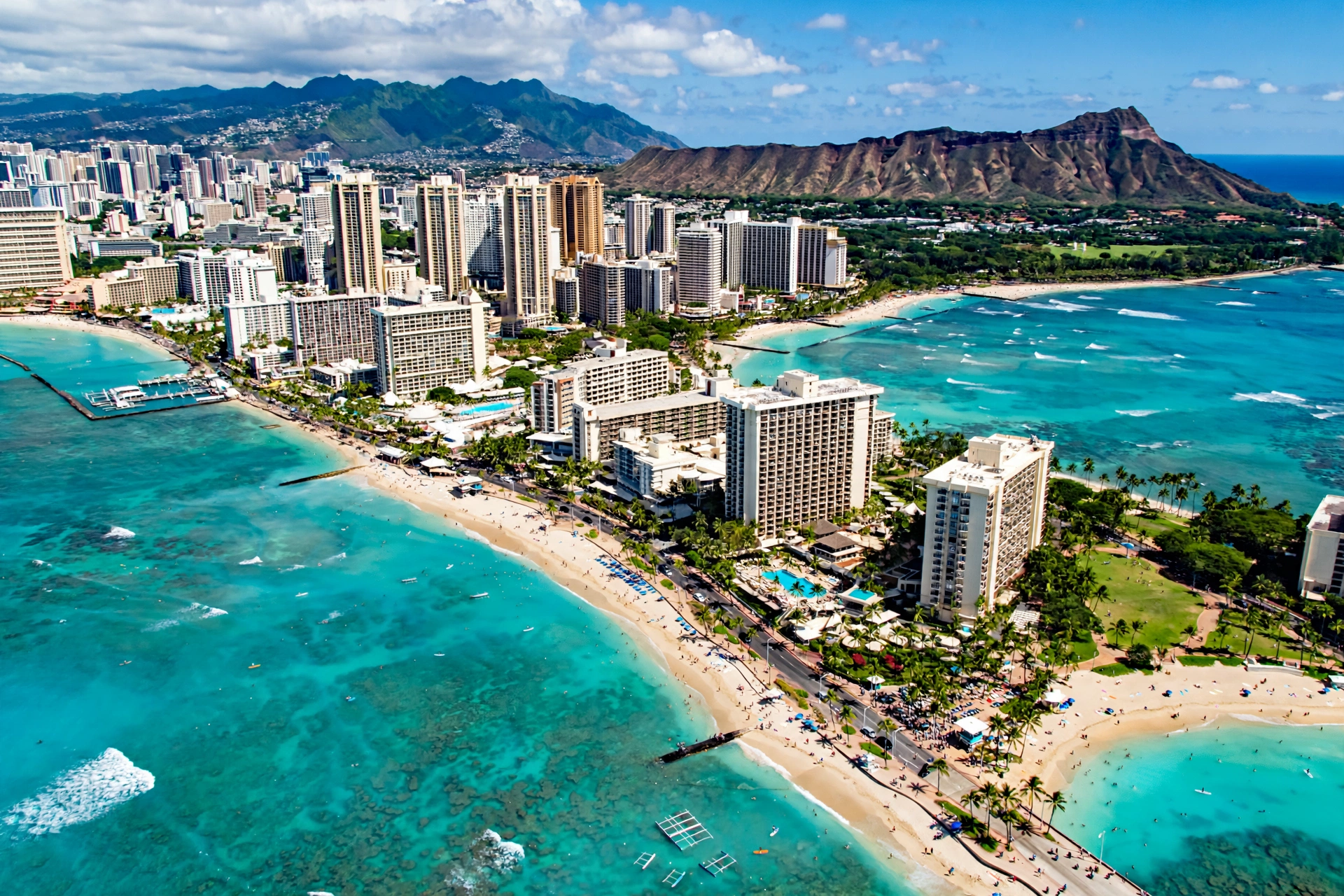
Waikīkī is one of the most walkable resort districts in the world. Its famous beach stretches about two miles along the south shore of Oʻahu, and behind that shoreline sits a compact grid of streets where nearly everything a visitor needs is within a comfortable stroll. You can walk from one end of Waikīkī to the other in under an hour, pass historic hotels, public beach parks, monuments, and shopping districts, and never need to move a car. This guide maps the district for walkers: the main streets, the walking districts, the best routes for sunrise and sunset, the landmarks along the way, and practical tips for exploring Waikīkī entirely on foot.
In This Guide
Waikīkī Walking at a Glance
Waikīkī sits on the south shore of Oʻahu within the city of Honolulu. The name is commonly translated as “spouting fresh water,” a reference to the springs and wetlands that once covered the area before it was drained and developed in the early twentieth century. Today the district is a dense, flat, and highly walkable rectangle of land roughly a mile and a half long and half a mile wide, bordered by the Ala Wai Canal on the inland side and the Pacific Ocean on the seaward side.
The flatness matters. Unlike much of hilly Honolulu, Waikīkī has almost no elevation change, which makes every route here gentle. Distances are short: from the western end of the beach near the Hilton Hawaiian Village to the eastern end at Kapiʻolani Park is about two miles along the sand, and most hotels sit within a ten to twenty minute walk of the beach. The entire district was designed, in effect, for strolling.
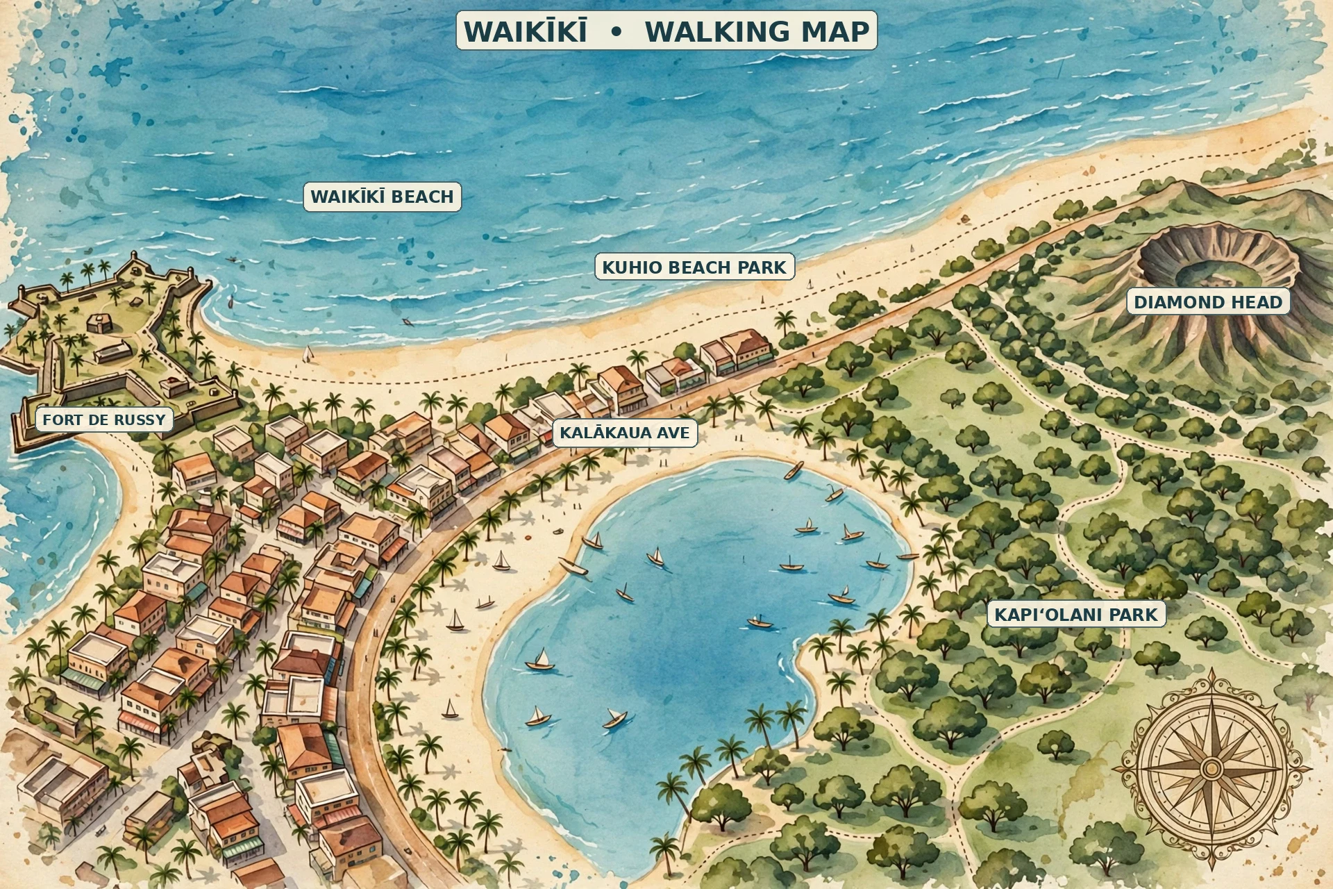
Three main streets define the walking map. Kalākaua Avenue runs along the beach side of the district and carries one-way traffic toward Diamond Head. This is the grand boulevard of Waikīkī, lined with hotels, shops, and restaurants, and it is where most visitors spend their walking time. Kūhiō Avenue runs parallel one block inland and carries one-way traffic in the opposite direction. It has a more local feel, with smaller shops, casual restaurants, and services. Ala Moana Boulevard traces the western and northern edge of the district along the Ala Wai Canal, connecting Waikīkī to Ala Moana and downtown Honolulu.
Cross streets are short and easy to navigate. Lewers Street, Seaside Avenue, Walina Street, and Olohana Street connect Kalākaua to Kūhiō in the central district, while Kapahulu Avenue marks the eastern gateway toward the Honolulu Zoo and Diamond Head. Because the blocks are small, it is difficult to get truly lost: walk toward the ocean and you will hit Kalākaua and the beach; walk inland and you will reach the Ala Wai Canal.
Map: Waikīkī’s Walking Districts
Thinking of Waikīkī as a handful of walking districts makes the area easier to explore. Each has a distinct character, and together they cover everything from the surf line to the canal.
The Beachfront
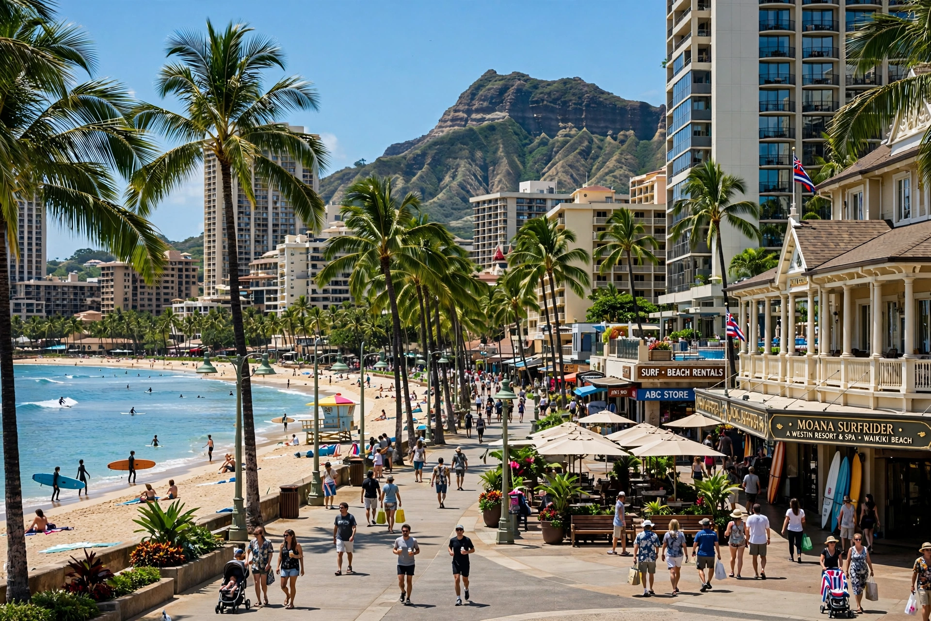
The beach itself is the main attraction and the main walkway. A paved beachfront path runs the length of Waikīkī Beach, connecting the public beach parks from the west end to the east end. Walking here means ocean views the entire way, with the sand on one side and landmark hotels on the other. The path passes Fort DeRussy Beach Park, the Royal Hawaiian and Moana Surfrider beachfronts, Kūhiō Beach Park with its hula mound and Duke Kahanamoku statue, Queen’s Surf Beach, and finally Kapiʻolani Park’s Queen’s Beach at the Diamond Head end. This is the route to walk at sunrise and sunset.
The Kalākaua Corridor
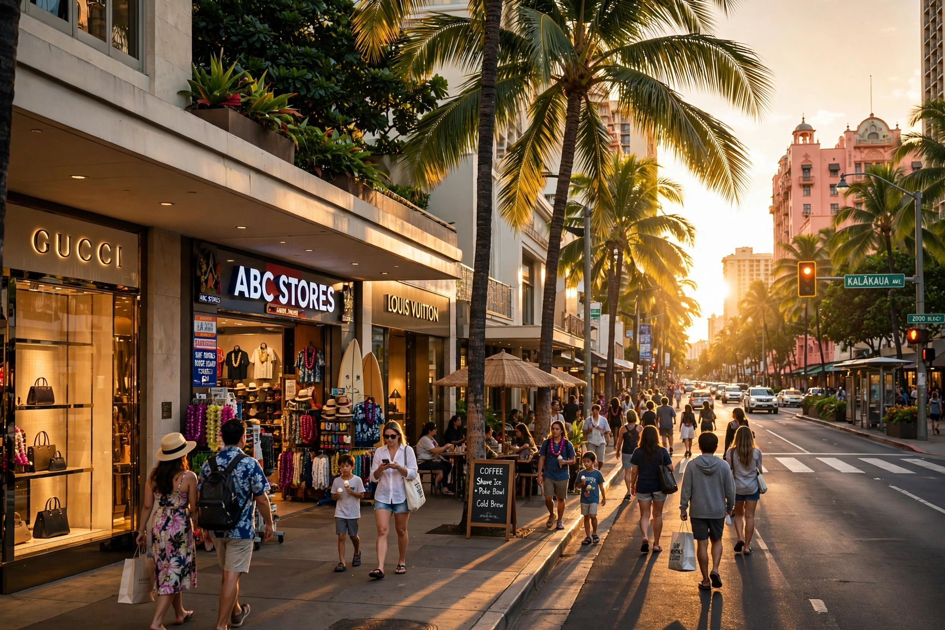
Kalākaua Avenue is Waikīkī’s shopping and people-watching boulevard. Wide sidewalks, frequent crosswalks, and a steady stream of fellow walkers make it the most comfortable street walk in the district. The corridor concentrates the major shopping centers, including the Royal Hawaiian Center and the International Market Place, along with the historic hotel entrances. On weekend evenings, sections of Kalākaua have periodically been closed to traffic for pedestrian events, and even on ordinary days the sidewalks feel like a promenade.
Lewers Street and Beach Walk
Between Kalākaua and Kūhiō avenues, the Lewers Street area known as Beach Walk forms a compact dining and shopping district. It is worth knowing the distinction: this is a developed commercial area, not the beachfront path, though the name causes frequent confusion. The streets here are narrow and pedestrian friendly, and it is a natural detour between the beach and Kūhiō Avenue for a meal or a coffee.
The Kūhiō Avenue Side
One block inland, Kūhiō Avenue shows a more everyday Waikīkī. Rents are lower here, so the street collects the casual restaurants, surf shops, convenience stores, and services that keep the district running. Walkers looking for a less polished, more local-feeling stroll should spend time on this side. It also tends to be slightly shadier than Kalākaua in the afternoon, since the buildings block the western sun.
The Ala Wai Side
The Ala Wai Canal forms the inland boundary of Waikīkī. Built in the 1920s to drain the marshes that once covered the district, the canal is lined on the Waikīkī side with a path popular with joggers and morning walkers. The blocks between Kūhiō Avenue and the canal hold apartment buildings, smaller hotels, and long-stay condominiums. Walking here feels residential and calm, a useful contrast to the bustle of the beach side, and it offers some of the only shade-tree streets in the district.
The Kapahulu Gateway
At the eastern end, Kapahulu Avenue angles from Waikīkī toward the base of Diamond Head. This corridor leads walkers to the Honolulu Zoo, Kapiʻolani Park, and the start of the Diamond Head Road walk. It is also one of the city’s best-known food streets, lined with longstanding local restaurants and bakeries, which makes it a rewarding detour for walkers interested in eating like a local.
The Best Walking Routes
These routes cover the essential Waikīkī walks. Distances are approximate and assume a comfortable sightseeing pace with stops.
Route 1: The Full Beach Walk, West to East
This is the signature Waikīkī walk. Start at the western end of the beach near the Hilton Hawaiian Village and follow the beachfront path east for about two miles to Queen’s Beach at Kapiʻolani Park. The walk takes roughly forty-five minutes to an hour without stops, but most walkers take closer to ninety minutes once they factor in pauses for photos, wading, and landmarks.
The first stretch passes the wide sands of Fort DeRussy Beach Park, one of the roomiest and least crowded sections of Waikīkī Beach, with the U.S. Army Museum of Hawaiʻi set back in the park. Continuing east, the path runs in front of the Royal Hawaiian and Moana Surfrider hotels, where the beach narrows and the scene becomes livelier with surf schools and outrigger canoes. At Kūhiō Beach Park you will pass the Duke Kahanamoku statue and the hula mound. The final stretch runs along the seawall past Queen’s Surf Beach to the open lawns of Kapiʻolani Park, with Diamond Head filling the view ahead. Walking west to east puts the morning sun at your back and gives you the classic view of Diamond Head growing larger as you go.
Route 2: The Kalākaua Avenue Stroll
For a street-level walk, follow Kalākaua Avenue from the Ala Moana end to the Honolulu Zoo end, about a mile and a half. This is the window-shopping and people-watching route, passing the Royal Hawaiian Center, the International Market Place, the entrances of the historic beachfront hotels, and the Duke Kahanamoku statue. Plan on an hour at a browsing pace. The sidewalks are wide and the crossings are frequent, though Kalākaua is a busy one-way street, so use the marked crosswalks rather than jaywalking between the hotel entrances.
Route 3: The Sunrise Walk
Start in the dark or near-dark at the eastern end of the district and walk toward Kapiʻolani Park. The sun rises over the ocean near Diamond Head, and the eastern end of Waikīkī offers the clearest view of it. From Queen’s Beach or the Kapiʻolani Park shoreline, you can watch the sky brighten behind Lēʻahi, the Hawaiian name for Diamond Head, while the beach is at its quietest. Early morning is also when the trade winds are calmest and the water is smoothest, so this route doubles as the best time for a swim. Aim to be in position at least fifteen minutes before the listed sunrise time.
Route 4: The Sunset Walk
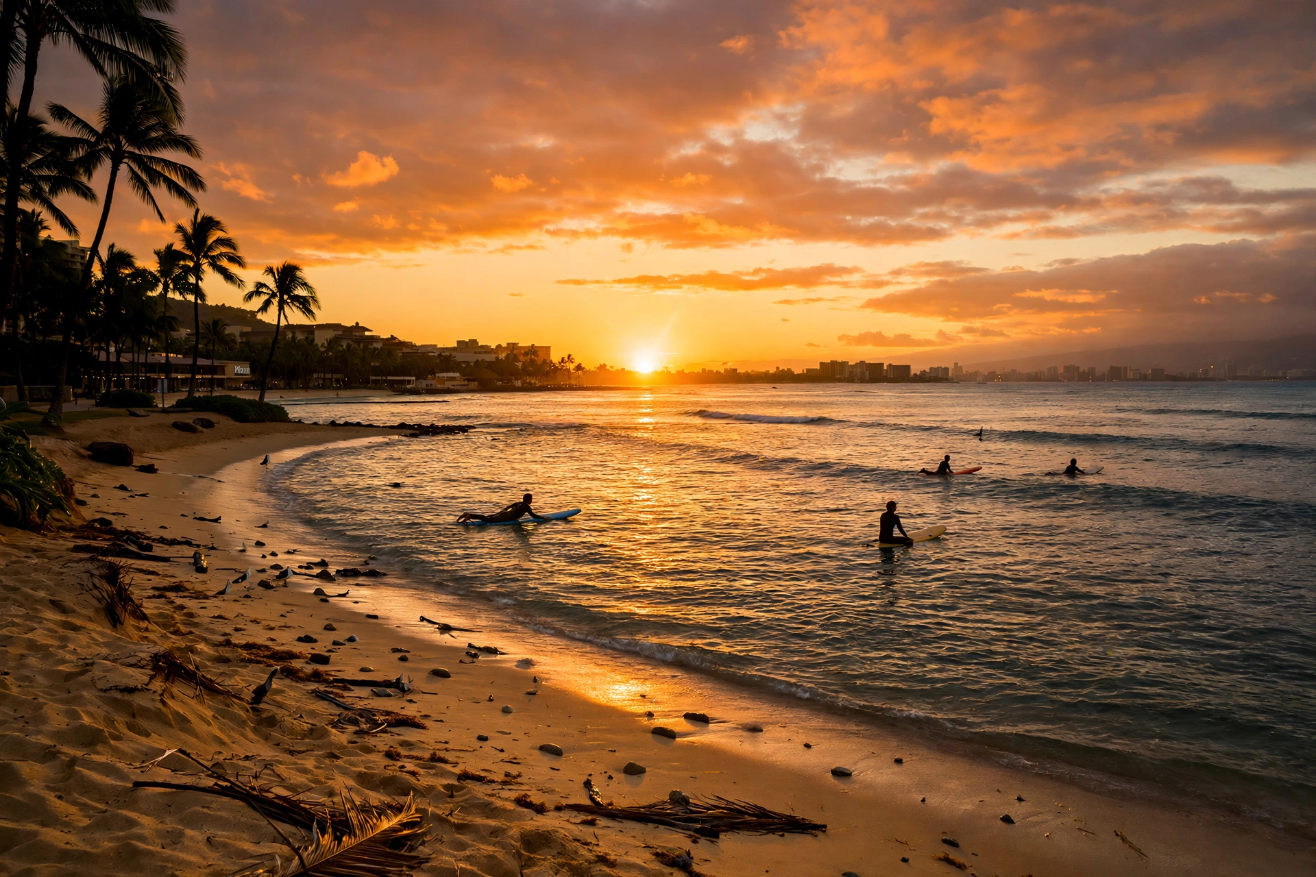
For sunset, reverse the geography. Walk west along the beach toward Fort DeRussy and the Hilton Hawaiian Village end, where the sun drops into the ocean with an unobstructed horizon view. The stretch of beach in front of Fort DeRussy is wide and faces almost directly into the setting sun, making it the district’s best sunset-watching spot. Arrive thirty to forty-five minutes before sunset to claim a spot on the sand or the seawall. After sunset, the walk back east along Kalākaua is lively and well lit.
Route 5: The Morning Fitness Loop
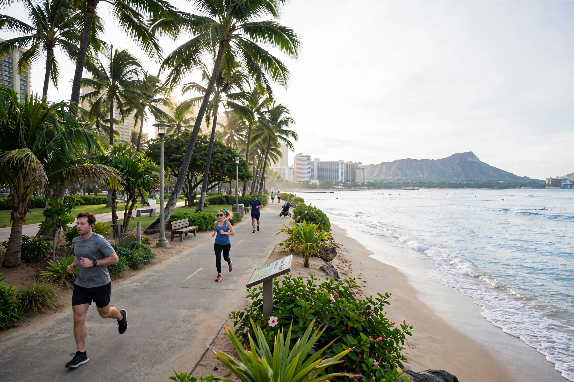
Local joggers favor a loop that combines the beachfront path with the Ala Wai Canal side. From central Waikīkī, walk or jog east along the beach to Kapiʻolani Park, cut inland to the canal, and return west along the Ala Wai path before dropping back to the beach. The full loop is roughly four to five miles depending on the exact turns, entirely flat, and mostly shaded on the canal side. The canal path is quietest before eight in the morning.
| Route | Distance (approx.) | Time (approx.) | Best time of day |
|---|---|---|---|
| Full beach walk, west to east | 2 miles one way | 45 to 90 minutes | Morning |
| Kalākaua Avenue stroll | 1.5 miles one way | 45 to 60 minutes | Late afternoon or evening |
| Sunrise walk to Kapiʻolani Park | 1 mile one way | 30 to 45 minutes | Before sunrise |
| Sunset walk to Fort DeRussy | 1 mile one way | 30 to 45 minutes | Before sunset |
| Morning fitness loop via Ala Wai | 4 to 5 miles loop | 1 to 1.5 hours | Early morning |
Landmarks Along the Way
The walking routes pass a dense concentration of historic and cultural landmarks. These are the ones to watch for.
Duke Kahanamoku Statue
The bronze statue of Duke Paoa Kahanamoku stands on Kalākaua Avenue at Kūhiō Beach, arms outstretched and draped with fresh leis. Kahanamoku (1890 to 1968) was the Olympic swimming champion who introduced surfing to the world, and the statue, erected in 1990, has become the unofficial meeting point of Waikīkī. It sits directly across from the beach where outrigger canoes launch, so the scene around it usually includes surfers, paddlers, and visitors taking photographs.
Kūhiō Beach Hula Mound
Just east of the Duke statue, the grassy hula mound at Kūhiō Beach Park hosts free outdoor hula performances on a regular schedule. The mound sits between the beach and Kalākaua Avenue, and evening shows here draw a relaxed crowd of families and visitors sitting on the grass. Show schedules change over time, so check current listings before planning your walk around one.
The Royal Hawaiian
Known as the Pink Palace of the Pacific, the Royal Hawaiian opened in 1927 and its rose-colored Spanish-Moorish facade is one of the most photographed buildings in Hawaiʻi. Even without going inside, walkers can admire the architecture from the beach or Kalākaua Avenue, and the hotel’s beachfront coconut grove is one of the prettiest shaded spots on the beach walk.
Moana Surfrider
A short walk east, the Moana Surfrider opened in 1901 as the first hotel on Waikīkī Beach and is known as the First Lady of Waikīkī. Its white wooden Victorian facade and famous banyan tree courtyard face the ocean directly. The hotel’s beachfront is a good place to watch the surf schools teaching beginners on the gentle Waikīkī break.
International Market Place and Royal Hawaiian Center
These two open-air shopping centers anchor the Kalākaua corridor. The International Market Place, rebuilt as a modern open-air center on its historic site, preserves a large banyan tree at its center. The Royal Hawaiian Center sits across the street on the grounds of the historic Helumoa coconut grove. Both are worth walking through for their landscaping and public spaces even if shopping is not the goal.
Fort DeRussy and the U.S. Army Museum of Hawaiʻi
At the western end of the beach walk, Fort DeRussy Beach Park offers the widest stretch of sand in Waikīkī and a noticeably calmer atmosphere than the central beach. The park holds Battery Randolph, a massive concrete coastal artillery battery that now houses the U.S. Army Museum of Hawaiʻi, a free-admission museum covering the military history of Hawaiʻi. The park’s lawns and shade trees make it a favorite picnic spot.
Kapiʻolani Park and the Honolulu Zoo
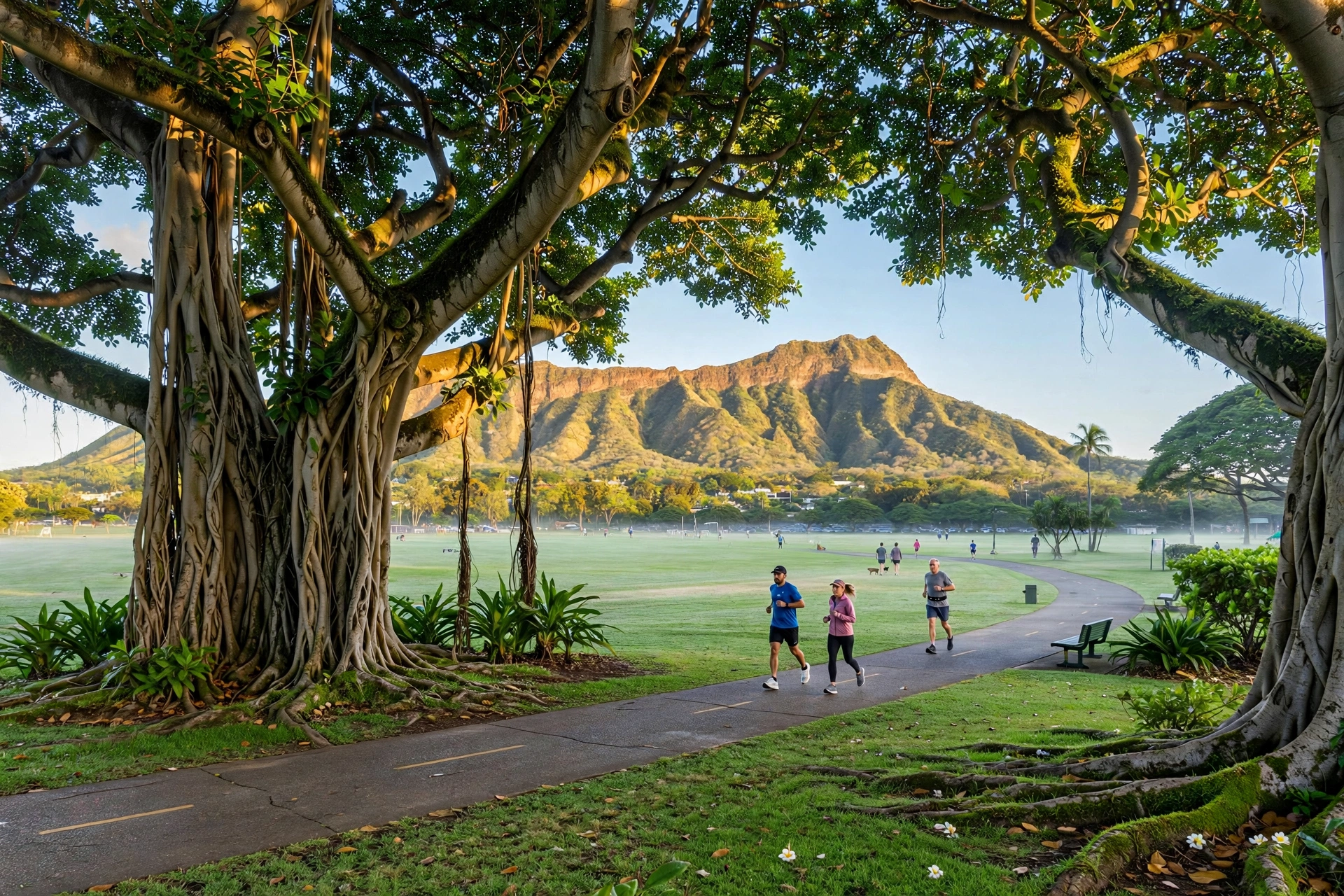
At the eastern end, Kapiʻolani Park’s broad lawns, banyan trees, and shoreline mark the end of the beach walk. The park is named for Queen Kapiʻolani and was established in the nineteenth century as Honolulu’s first public park. The Honolulu Zoo occupies a large section of the park near the Kapahulu Avenue entrance, making it a natural add-on to an east-end walk. Even without entering the zoo, the park’s paths and beach access reward a stroll.
Practical Walking Tips
Heat, Sun, and Hydration
Waikīkī sits at sea level on the sunny south shore, and midday heat is the main challenge for walkers. The sun is strongest between ten in the morning and three in the afternoon. Carry water on every walk, wear a hat, and apply reef-safe sunscreen before setting out rather than after you feel the burn. Take advantage of shade where you find it: the coconut grove at the Royal Hawaiian, the banyan trees in Kapiʻolani Park, and the covered walkways of the shopping centers all offer relief.
Footwear
For the beach walk and Kalākaua strolls, sandals or flip-flops are perfectly adequate since the routes are paved and flat. If you plan to combine the beach walk with the longer Ala Wai loop or the walk toward Diamond Head, proper walking shoes will be more comfortable. Beach sand gets hot enough to burn bare feet by midday, so keep footwear on when crossing the sand.
Crossing Streets
Kalākaua Avenue and Kūhiō Avenue are busy one-way streets with heavy bus and pedestrian traffic. Use marked crosswalks and obey the pedestrian signals; turning buses and mopeds make jaywalking genuinely hazardous here. Intersections with crossing signals are frequent enough that there is rarely a reason to cross mid-block. On the beachfront path itself there is no vehicle traffic, which makes it the most relaxing route for families with children.
Evening and Night Walking
Kalākaua Avenue and the shopping districts stay busy and well lit into the evening, and walking there at night feels comfortable. The beach itself is a different story: the beachfront path is dark in stretches, the sand is unlit, and it is wiser to enjoy the ocean views from the lit promenade or a beachfront restaurant after dark than to wander the sand. Stick to the main streets and populated areas at night, as you would in any city.
Restrooms, Water, and Rest Stops
Public restrooms and outdoor showers are available at the beach parks along the walk, including Fort DeRussy, Kūhiō Beach Park, and the Kapiʻolani Park end. The shopping centers on Kalākaua have public restrooms and water fountains, and nearly every hotel lobby along the beach has a publicly accessible ground floor with seating. Plan rest stops around these known points rather than assuming facilities will appear.
Walking to Nearby Areas
Waikīkī’s walkability extends beyond the district’s borders. Three nearby destinations are reachable on foot for reasonably fit walkers.
Ala Moana Center and Ala Moana Beach Park
About a mile and a half west of central Waikīkī along Ala Moana Boulevard, Ala Moana Center is one of the largest open-air shopping centers in the United States. The walk takes roughly twenty-five to thirty-five minutes each way on a wide sidewalk. Just beyond the center, Ala Moana Beach Park offers a long, calm, reef-protected beach that many consider superior to Waikīkī Beach for swimming. Combining the walk with a swim at Ala Moana makes a good half-day outing. TheBus also runs this corridor frequently for the return trip.
Diamond Head Base
From the eastern end of Waikīkī at Kapiʻolani Park, Diamond Head Road leads about a mile to the base of Lēʻahi, the Diamond Head crater. The walk itself is pleasant, passing grand historic homes with ocean views. The Diamond Head Summit Trail continues into the crater to the famous lookout, a 1.6-mile round trip with stairs and a tunnel near the top. Note that advance reservations are currently required for out-of-state visitors to enter Diamond Head State Monument, so arrange that before walking over. For full trail details, see our Oʻahu hikes guide.
Honolulu Zoo and Kapiʻolani Park
The Honolulu Zoo sits within Kapiʻolani Park at the Diamond Head end of Waikīkī, about a twenty to thirty minute walk from the central beach along Kalākaua Avenue or the beachfront path. It pairs naturally with the sunrise walk or the full beach walk, since both end at the park. The surrounding park lawns, the Waikīkī Aquarium’s neighborhood, and the Queen’s Beach shoreline give you plenty to explore around the zoo visit.
| Destination | Direction from central Waikīkī | Distance (approx.) | Walk time (one way) |
|---|---|---|---|
| Ala Moana Center | West on Ala Moana Blvd | 1.5 miles | 25 to 35 minutes |
| Ala Moana Beach Park | West past the shopping center | 1.75 miles | 30 to 40 minutes |
| Diamond Head base | East via Kapiʻolani Park | 2 miles | 35 to 45 minutes |
| Honolulu Zoo | East on Kalākaua Ave | 1.25 miles | 20 to 30 minutes |
Frequently Asked Questions
How long is the Waikīkī beach walk?
The beachfront path runs about two miles from the western end near the Hilton Hawaiian Village to Queen’s Beach at Kapiʻolani Park. Walking it end to end takes forty-five minutes to an hour at a steady pace, or up to ninety minutes with stops for photos, landmarks, and wading.
Is Waikīkī walkable without a car?
Yes. Waikīkī is one of the most walkable districts in Hawaiʻi. The beach, the main shopping streets, restaurants, and the eastern and western anchors are all within easy walking distance, and the district is flat. TheBus and the Waikīkī Trolley cover longer hops such as Ala Moana or Diamond Head if you prefer not to walk them.
Is it safe to walk in Waikīkī at night?
The main streets, especially Kalākaua Avenue and the shopping districts, stay busy and well lit in the evening and are comfortable for walking. The beach itself is dark in stretches after sunset, so enjoy the ocean from the lit promenade or a beachfront spot rather than wandering the sand at night.
What is the best time of day to walk in Waikīkī?
Early morning and late afternoon are the most pleasant. Sunrise walks to the eastern end offer the best light and the calmest water, while sunset walks to the western end give you the classic sun-into-the-ocean view. Midday is best spent in the shade, in the water, or indoors.
Can you walk from Waikīkī to Diamond Head?
Yes. From Kapiʻolani Park at the eastern end of Waikīkī, Diamond Head Road leads about a mile to the base of the crater, and the summit trail continues from there. Allow about thirty-five to forty-five minutes to reach the trailhead on foot, and note that advance reservations are currently required for out-of-state visitors to the state monument.
Is the Waikīkī beach walk wheelchair accessible?
The beachfront promenade is paved and largely flat, making it accessible for wheelchairs and strollers along most of its length. For getting onto the sand itself, check with the lifeguards at the beach parks about current accessibility options, as conditions and available equipment vary.
Where does the beach walk start and end?
The western end is near the Hilton Hawaiian Village and Fort DeRussy Beach Park; the eastern end is Queen’s Beach at Kapiʻolani Park, with Diamond Head rising just beyond. You can join the path at any beach access point along Kalākaua Avenue in between.
Are there public restrooms along the walking routes?
Yes. Public restrooms and outdoor showers are available at the beach parks along the route, including Fort DeRussy, Kūhiō Beach Park, and Kapiʻolani Park. The Kalākaua Avenue shopping centers also have public restrooms.
Related Guides
- Oʻahu Beaches: the island’s best beaches beyond Waikīkī, with swimming and snorkeling conditions
- Hawaii Beach Map: locate beaches by island and coast across the state
- Oʻahu Hikes: Diamond Head and the island’s best trails, with difficulty and reservation details
- Hawaii Map: the full island chain reference with regions and driving routes
- Where Is Pearl Harbor on a Map: locating the historic site from Waikīkī
- Hawaii Snorkeling: the state’s top snorkeling spots and seasonal conditions
A Walker’s Read of Waikīkī
Waikīkī rewards walkers in a way that few resort districts do. Its two miles of beachfront, its flat grid, and its concentration of landmarks mean that the simple act of walking becomes the activity itself rather than just transportation between activities. Learn the three main streets, walk the beach end to end at least once in each direction, time one walk for sunrise and one for sunset, and you will have read the district the way it was meant to be read: on foot, at a stroller’s pace, with the ocean always within sight.