
On This Page
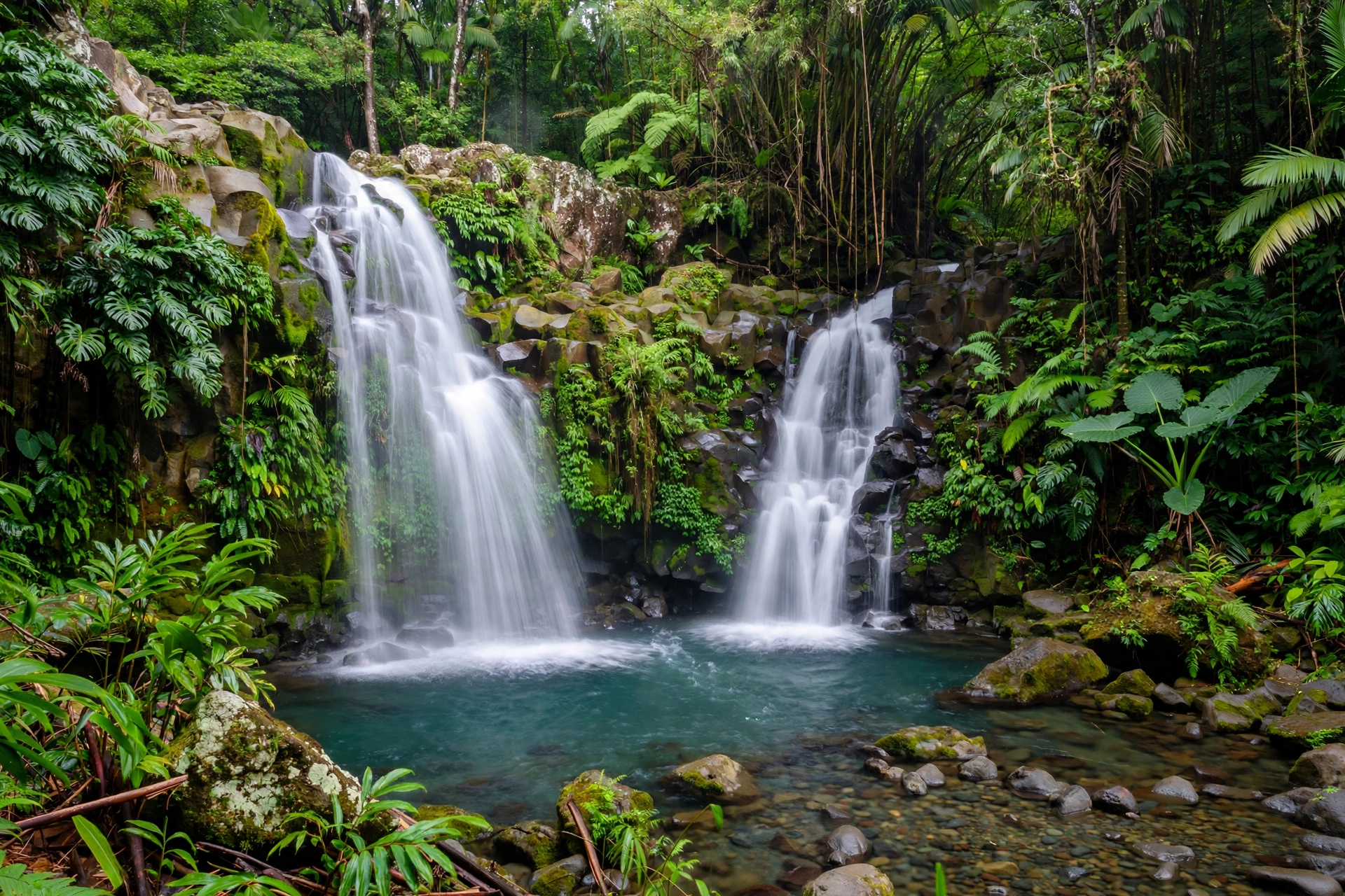
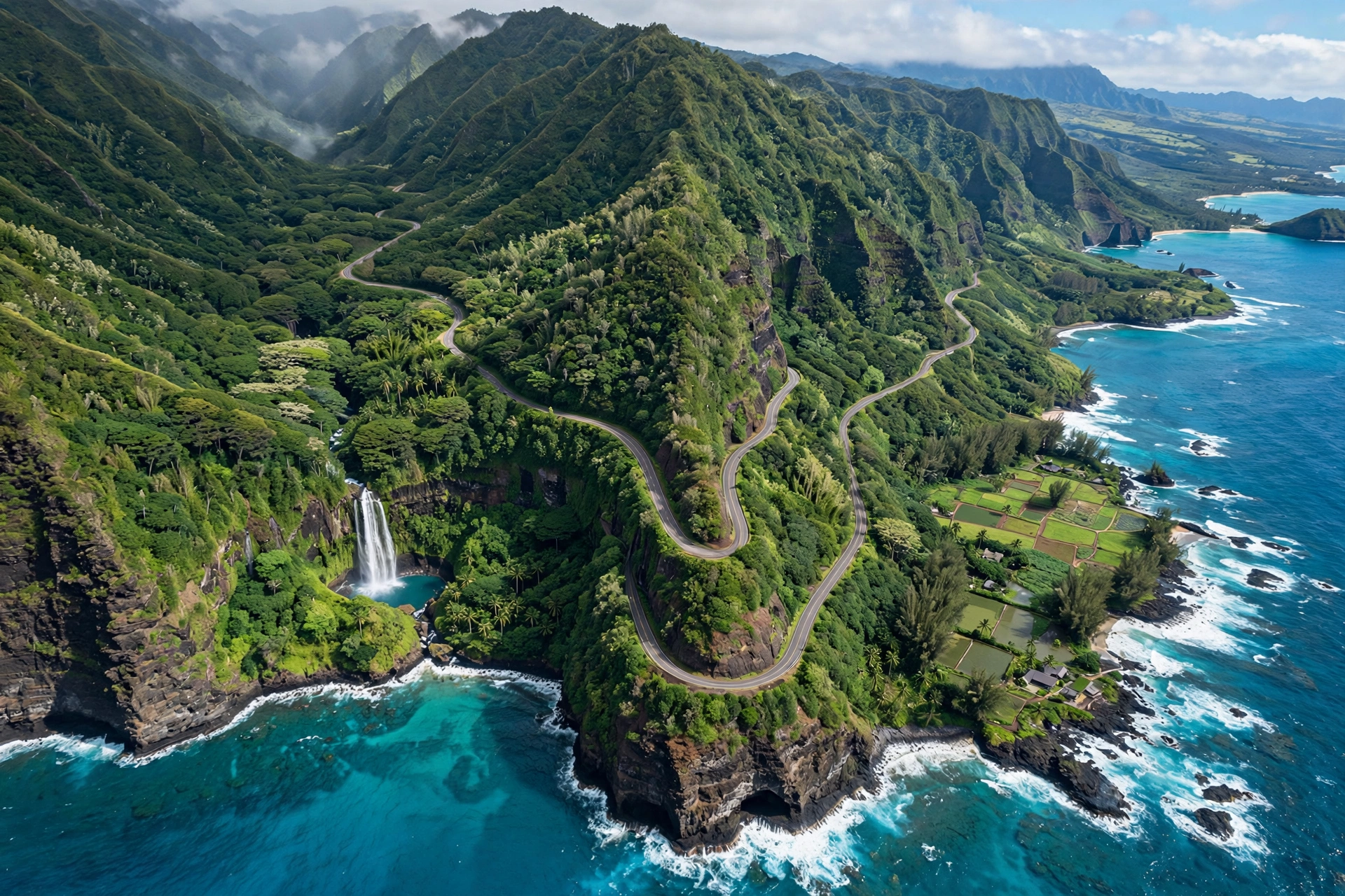
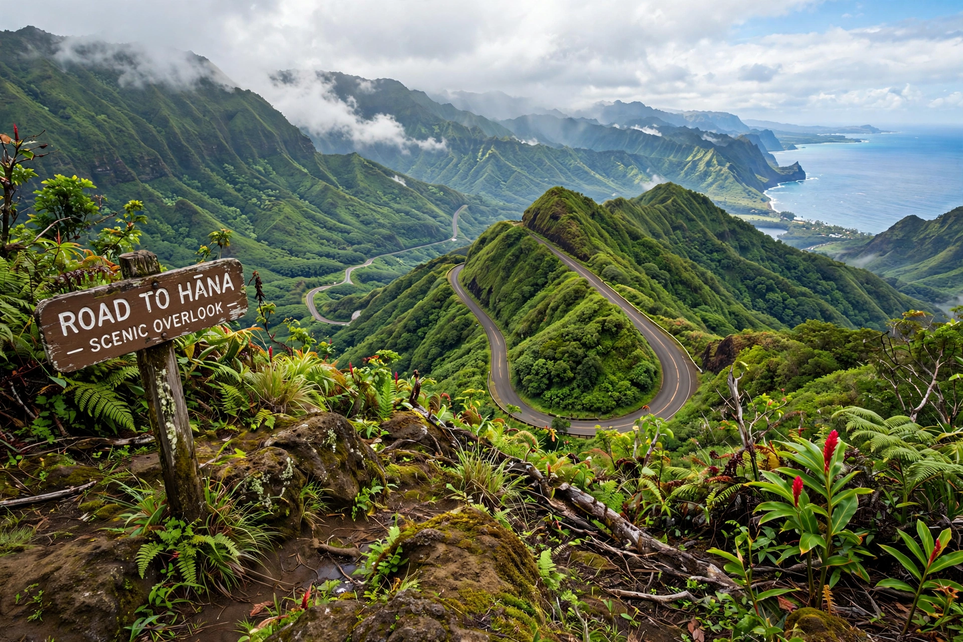
The Road to Hana is one of the most famous scenic drives in the United States, and a good map is the difference between a great day and a frustrating one. The Hana Highway runs 64.4 miles from Kahului to the town of Hana in East Maui, following Hawaii Routes 36 and 360. Along the way it crosses 59 bridges, 46 of which are only one lane wide, and winds through roughly 620 curves. The drive itself takes about 2.5 to 3 hours without stopping, but almost nobody drives it without stopping. Plan for a full day, 10 to 12 hours round trip, if you want to see the waterfalls, beaches, and viewpoints that make this road legendary.
This guide is a complete map reference for the route. You will find the full route described section by section, a mile-by-mile table of every key stop with its mile marker, driving time estimates, road condition details, where to get gas and food, and answers to the most common questions about the drive. Use it to plan your stops before you leave, because cell service is unreliable along much of the route and you cannot count on looking things up on the road.
Road to Hana Route Overview Map
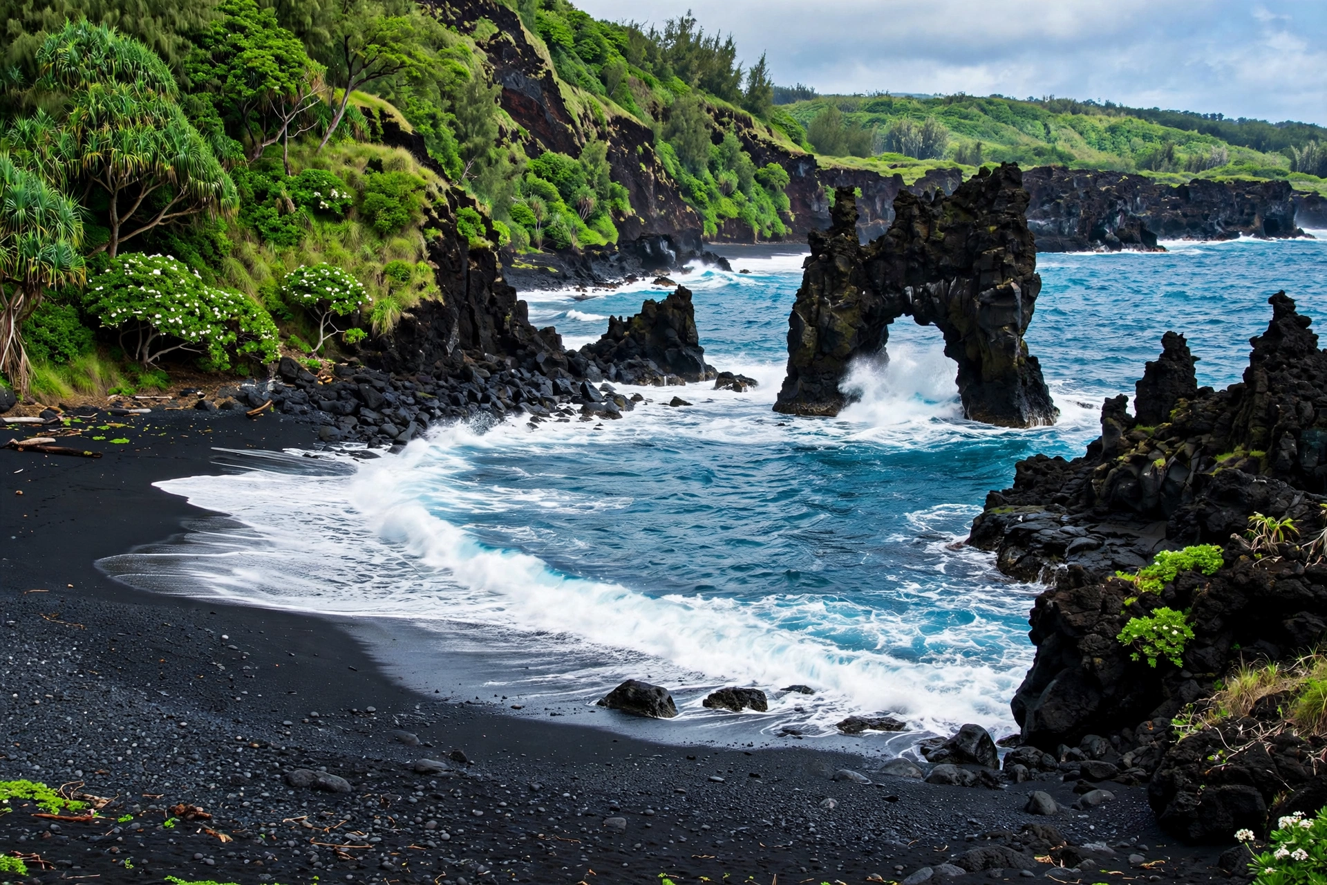
The Hana Highway begins in Kahului, near Kahului Airport (OGG), as Route 36. This first stretch is a normal divided highway through central Maui. The road officially becomes the winding coastal drive most people picture when they think of the Road to Hana at the junction near Haiku-Pauwela, where it becomes Route 360. From there, the mile markers that every guidebook and roadside sign refers to are measured along Route 360, not Route 36. When a stop is listed at Mile Marker 10, that means Mile Marker 10 on Route 360.
The route follows Maui’s northeastern coastline through some of the wettest and lushest terrain in Hawaii. You will pass through Haiku, cross into the rainforest belt around Waikamoi, descend to the Keʻanae Peninsula, climb and dip through Nahiku, and arrive at Hana around Mile Marker 34. Past Hana, the road continues as the Piilani Highway (Route 31) toward Kipahulu, where Haleakala National Park’s coastal Kipahulu District holds the Oheʻo Gulch pools and the Pipiwai Trail. The famous Wailua Falls sits at Mile Marker 45 along this back stretch.
For orientation, it helps to think of the drive in four zones. Zone one, Miles 0 to 10, covers the transition from central Maui into the rainforest, with Twin Falls and the Garden of Eden. Zone two, Miles 10 to 22, is the deep rainforest stretch with wayside parks, the Keʻanae Peninsula detour, and Puaʻa Kaʻa Falls. Zone three, Miles 22 to 34, brings Nahiku, the black sand beach at Waiʻanapanapa State Park, and Hana town itself. Zone four, beyond Hana to Kipahulu, holds Hamoa Beach, Wailua Falls, and Oheʻo Gulch. Most day-trippers turn around at Hana or Kipahulu and drive back the way they came.
One important note about maps and navigation apps: GPS directions are generally accurate for the main highway, but do not follow your app down unmarked side roads or private driveways that look like shortcuts. Many pullouts and trailheads are on private land, and trespassing is a genuine problem that has led to closures and fines. Stick to marked stops, state wayside parks, and signed trailheads.
Mile-by-Mile Map: Every Key Stop
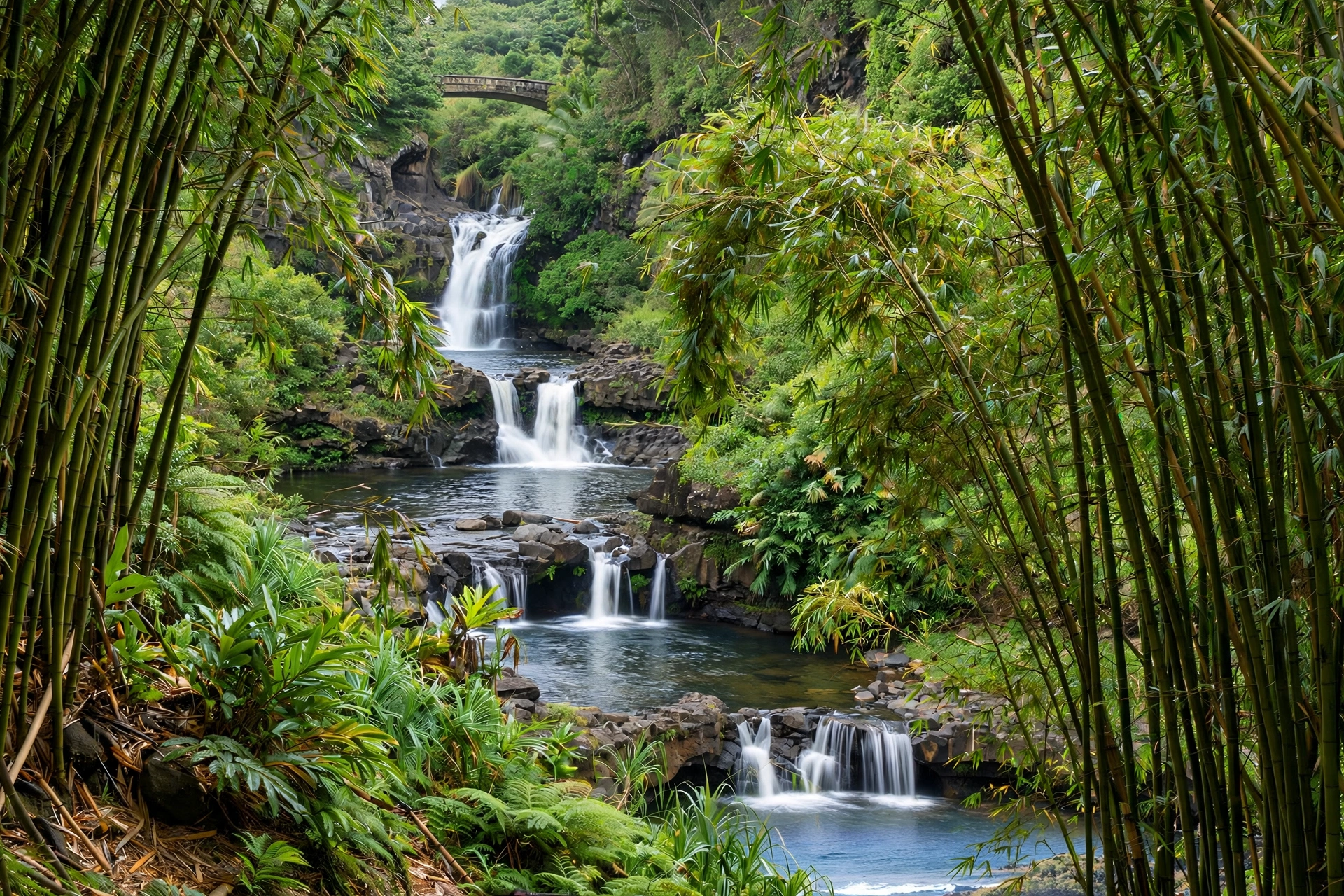
The table below lists the key stops along the Road to Hana in driving order, with mile markers on Route 360. Detailed descriptions of each stop follow the table.
| Mile Marker | Stop | Type | Time Needed |
|---|---|---|---|
| MM 2 | Twin Falls | Waterfalls, swimming | 45–90 min |
| MM 9.5 | Waikamoi Ridge Nature Trail | Rainforest walk | 20–30 min |
| MM 10.5 | Garden of Eden Arboretum | Botanical garden | 60–90 min |
| MM 12 | Kaumahina State Wayside Park | Viewpoint, restrooms | 15–20 min |
| MM 14 | Honomanu Bay Overlook | Coastal viewpoint | 10 min |
| MM 16–17 | Keʻanae Peninsula | Coast, banana bread, church | 30–60 min |
| MM 19.5 | Upper Waikani Falls (Three Bears) | Waterfall viewpoint | 10–15 min |
| MM 22 | Puaʻa Kaʻa State Wayside Park | Waterfall, picnic, restrooms | 20–30 min |
| MM 24 | Hanawi Falls | Roadside waterfall | 10 min |
| MM 29 | Nahiku | Village, food, viewpoint | 20–30 min |
| MM 32 | Waiʻanapanapa State Park | Black sand beach, caves | 60–90 min |
| MM 34 | Hana Town | Food, fuel, beach | 45–60 min |
| Past Hana | Hamoa Beach | Swimming beach | 45–60 min |
| MM 42 | Oheʻo Gulch (Seven Sacred Pools) | Pools, waterfalls, trails | 60–120 min |
| MM 45 | Wailua Falls | Roadside waterfall | 15 min |
Twin Falls — Mile Marker 2
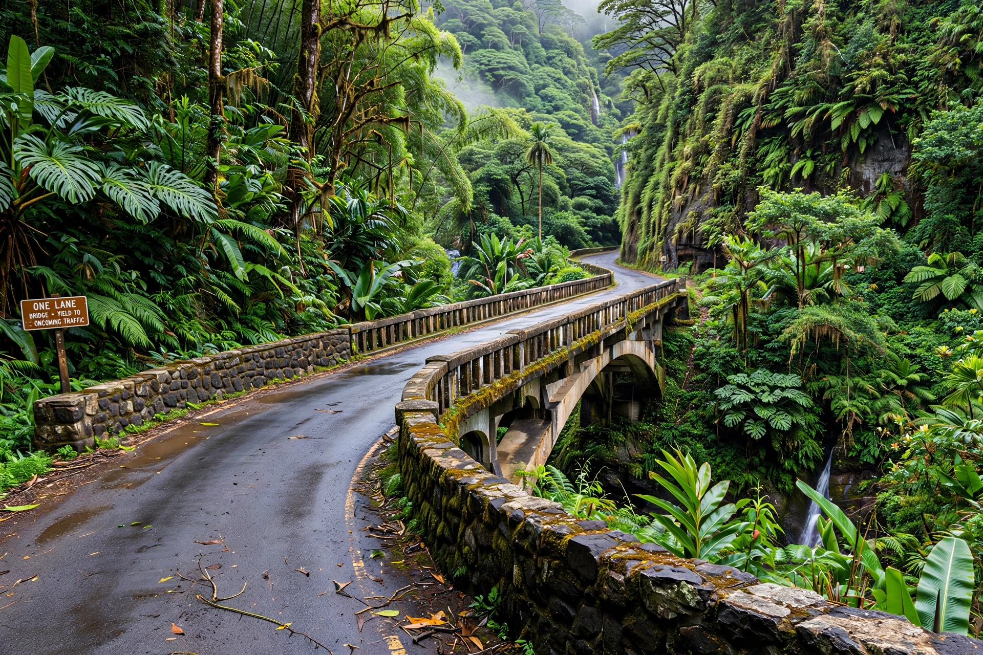
Twin Falls is the first major stop on the Road to Hana and one of the most popular. Despite the name, there are actually three waterfalls accessible by trail here. The lower falls are a short, easy walk from the parking area and have a swimming pool at the base. The upper falls require a slightly longer hike along a farm road and stream crossings. Parking costs $10 per vehicle, and the farm stand at the entrance sells smoothies, fruit, and snacks. Twin Falls is reserved for Hawaii residents on the first Saturday of each month, so check the calendar if your trip falls on that day. No advance reservation is required for other days, but arrive early because the small lot fills quickly.
Waikamoi Ridge Nature Trail — Mile Marker 9.5
This is a short, easy loop trail through native rainforest, maintained as a nature walk with labeled plants. It takes about 20 to 30 minutes and gives you a break from the car without a big time commitment. The trail can be muddy after rain, which is most of the time in this area, so wear shoes you do not mind getting dirty. There is a small pullout for parking. It is a pleasant stop but not essential if your schedule is tight.
Garden of Eden Arboretum — Mile Marker 10.5
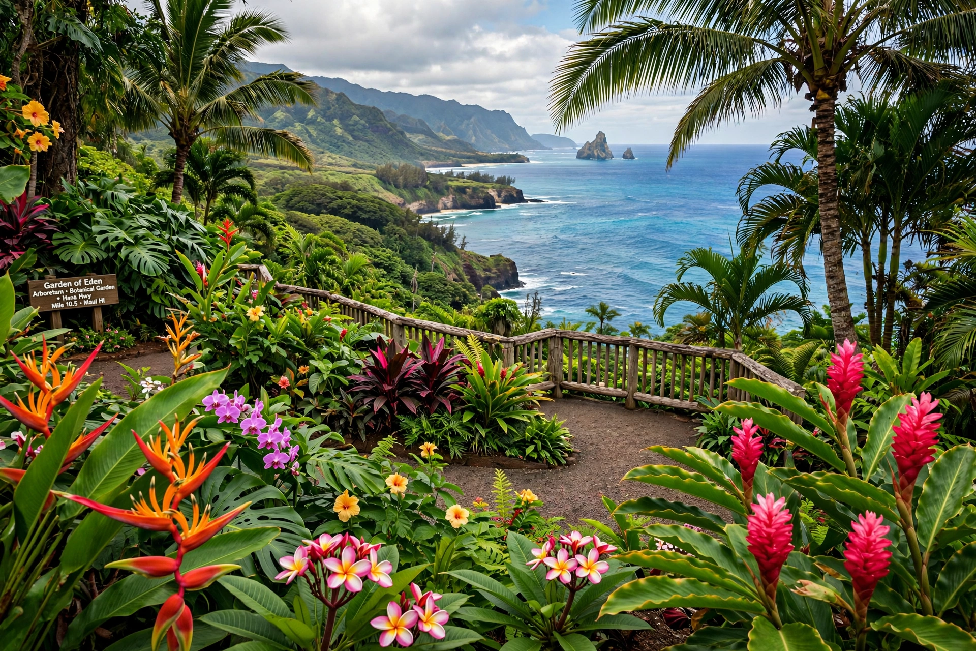
The Garden of Eden is a 26-acre botanical garden set on a cliffside above the ocean, with walking trails, labeled tropical plants, and sweeping coastal views. It opens at 8:00 a.m., so it works well as an early stop. There is an admission fee. The garden’s Puohokamoa Falls overlook is one of the most photographed spots on the drive. Plan 60 to 90 minutes here. If you are choosing between Twin Falls and the Garden of Eden for your early stop, pick Twin Falls for swimming and the Garden of Eden for scenery and an easier walking experience.
Kaumahina State Wayside Park — Mile Marker 12
Kaumahina is a state-maintained roadside park with restrooms, picnic tables, and an overlook with views down to the coast. It is a practical stop rather than a scenic highlight: use the restrooms, stretch your legs, and take in the view. Fifteen to twenty minutes is plenty.
Honomanu Bay Overlook — Mile Marker 14
There are a few turnouts around this mile marker with views down into Honomanu Bay, a dramatic black-pebble bay framed by cliffs. The bay itself is difficult to access and the surf is rough, so this is a viewpoint-only stop. It is easier to pull over on the return drive since the turnouts are on the ocean side heading back toward Kahului. Ten minutes is enough.
Keʻanae Peninsula — Mile Markers 16 to 17
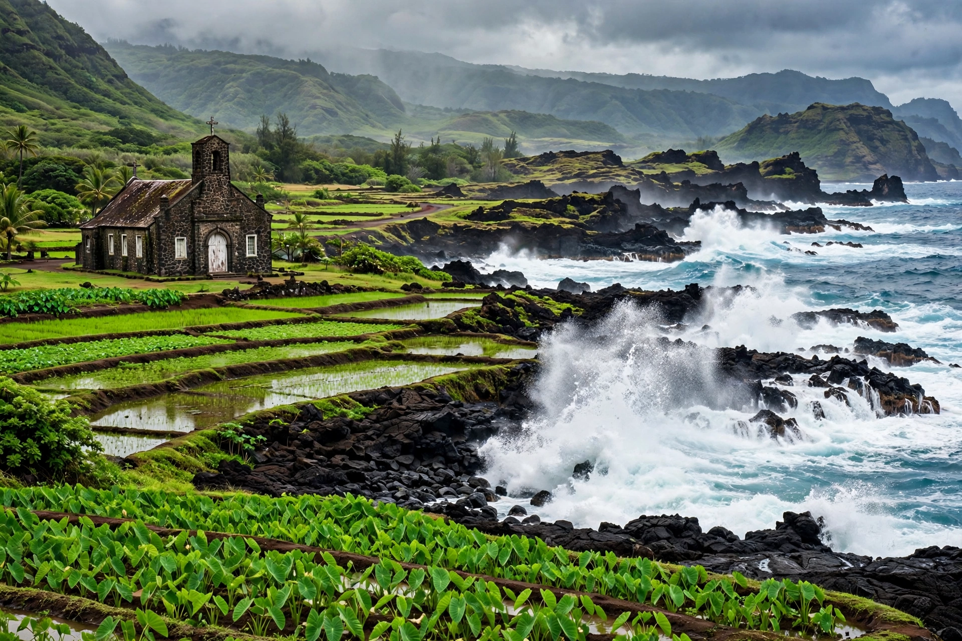
The turnoff for the Keʻanae Peninsula is one of the most rewarding detours on the drive. A short paved road leads down from the highway to a flat lava peninsula with pounding surf, tide pools, old Hawaiian taro patches (loʻi), and the historic Keʻanae Congregational Church, built in 1860. This is also where you will find Aunty Sandy’s, the famous banana bread stand. Go early in the day because the banana bread regularly sells out by afternoon. Note that Aunty Sandy’s is closed on Sundays, though the peninsula itself is always worth the drive down. Allow 30 to 60 minutes here.
Upper Waikani Falls (Three Bears) — Mile Marker 19.5
Upper Waikani Falls, nicknamed the Three Bears for its three parallel cascades, is visible from a bridge pullout. This is a quick photo stop rather than a hiking destination, and parking is extremely limited. Do not block the bridge or park illegally. Maui police actively ticket illegal parking along the Hana Highway, and the area around this bridge is one of the most enforced spots. Ten to fifteen minutes is all you need if you can park safely.
Puaʻa Kaʻa State Wayside Park — Mile Marker 22
Puaʻa Kaʻa is a small state park with a waterfall, a swimming pool, picnic tables, and restrooms. It is a good mid-drive break: swim if conditions allow, eat a snack, and use the facilities. The pool below the falls is one of the safer swimming spots along the route, but always check the water level and current before getting in, especially after rain. Allow 20 to 30 minutes.
Hanawi Falls — Mile Marker 24
Hanawi Falls is a roadside waterfall visible from the highway near a bridge. There is very limited parking, so most visitors slow down for a look rather than stopping. Do not stop on the bridge itself. Treat this as a drive-by viewpoint unless you find a safe, legal pullout.
Nahiku — Mile Marker 29
Nahiku is a small former plantation village with a viewpoint overlooking the coast, a few food stands, and the turnoff to the Nahiku Marketplace area. It marks roughly the two-thirds point of the drive to Hana. The Nahiku Viewpoint offers one of the classic Road to Hana photos, looking down the rugged coastline. Food options here are limited and seasonal, so do not count on lunch. Twenty to thirty minutes is enough.
Waiʻanapanapa State Park — Mile Marker 32
Waiʻanapanapa State Park is the crown jewel stop for most Road to Hana drivers. The park’s Pailoa Beach is a striking black sand beach set against turquoise water and jagged lava rock, with a natural stone arch, a blowhole, and sea caves to explore. Short trails lead along the coastline in both directions. Non-Hawaii residents must book advance entry reservations with a timed entry slot, plus a parking reservation if driving. Reservations open well in advance and the midday slots sell out, so book as early as you can. Park staff turn away cars without reservations. Allow 60 to 90 minutes here, and time your arrival to match your reservation window.
Hana Town — Mile Marker 34
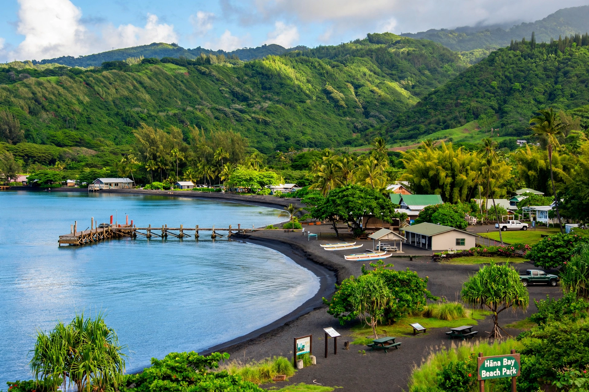
Hana is a small, quiet town of about 1,500 residents and the traditional turnaround point for the drive. This is your best chance for a real meal: food trucks near the town center serve plate lunches, and there are a couple of small restaurants and a general store. There is also fuel available in Hana, though it is expensive, so top up if you are running low. Hana Bay Beach Park has a small protected swimming area with a nice view back toward the town. The Hana Cultural Center and Museum offers a look at the area’s history if you have extra time. Allow 45 to 60 minutes for food and fuel.
Hamoa Beach — Past Hana
About three miles south of Hana town along the Piilani Highway, Hamoa Beach is a crescent of light sand that many consider the best swimming beach in the Hana area. The surf can still be rough in winter, and there is no lifeguard, so check conditions before swimming. Facilities are minimal. It is a beautiful, peaceful spot and worth the short detour if you have time.
Oheʻo Gulch (Seven Sacred Pools) — Mile Marker 42
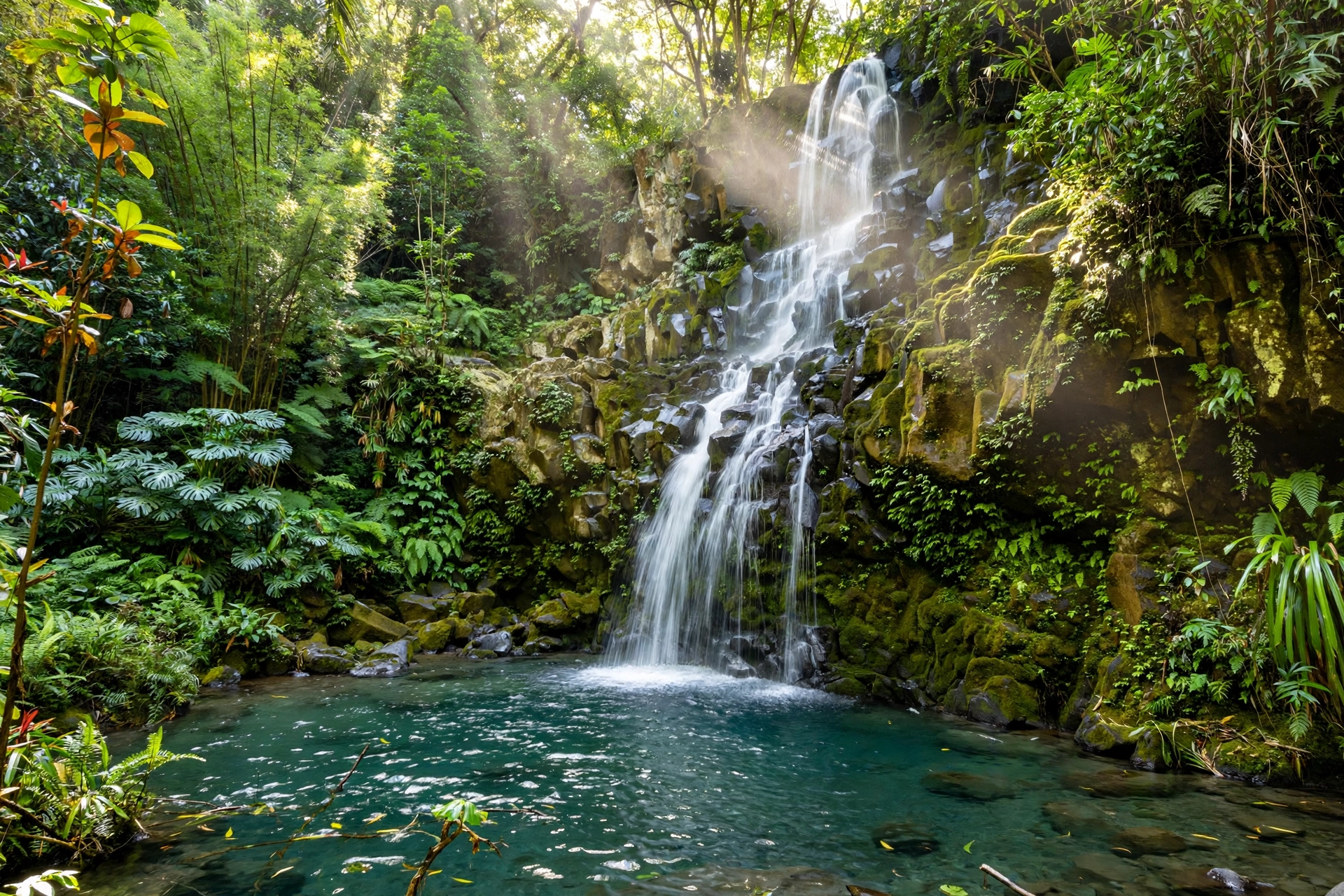
Oheʻo Gulch is part of Haleakala National Park’s Kipahulu District, about 12 miles past Hana. The famous tiered pools and waterfalls here are fed by Pipiwai Stream. Swimming conditions vary and the pools are sometimes closed after heavy rain, so check with the park before counting on a swim. The Pipiwai Trail, which starts across the road from the Oheʻo Gulch parking area, is a 4-mile round trip hike through bamboo forest to the 400-foot Waimoku Falls, and it is one of the best hikes on Maui. Entry to the Kipahulu District requires a Haleakala National Park pass, and advance reservations are required through the federal reservation system. Allow one to two hours minimum, more if you hike the Pipiwai Trail.
Wailua Falls — Mile Marker 45
Wailua Falls is an 80-foot waterfall visible directly from the roadside, just past the Oheʻo Gulch area. There is a small parking area and it is a quick, easy stop. The falls are most impressive after rain. Fifteen minutes is plenty. Do not climb down to the base of the falls: the rocks are slippery and the area is steeper than it looks.
Driving Times & Road Conditions
The single most important thing to understand about the Road to Hana is that map distances mean very little here. Hana is only about 52 miles from Kahului by road, but the uninterrupted drive takes 2.5 to 3 hours because of the 620 curves and 59 bridges. With stops, most visitors spend 10 to 12 hours on a round trip. Leave early, by 7:00 a.m. at the latest, to make the most of the daylight and to reach popular stops before the crowds.
The road surface is paved for the entire route to Kipahulu, and a standard rental car is perfectly adequate. You do not need four-wheel drive for the main highway. Speeds average 15 to 25 miles per hour through the winding sections. The 46 one-lane bridges require you to yield: the convention is that the first vehicle to arrive crosses first, and oncoming traffic waits. Be patient and courteous. Honking around blind curves is common and expected, since many curves have no visibility of oncoming traffic.
Rain is frequent along the windward coast, and the road can be slick. Landslides and falling rocks occasionally close sections of the highway, especially during the wetter months from November through March. Check the Hawaii Department of Transportation road closure information before you leave. If heavy rain is forecast, consider postponing: flash flooding can make stream crossings and waterfall pools dangerous, and several stops become unpleasant or unsafe.
Here are realistic segment driving times without stops:
| Segment | Distance | Drive Time (No Stops) |
|---|---|---|
| Kahului to Paia | 7 miles | 15 min |
| Paia to Twin Falls (MM 2) | 10 miles | 25 min |
| Twin Falls to Keʻanae (MM 16) | 14 miles | 45 min |
| Keʻanae to Waiʻanapanapa (MM 32) | 16 miles | 55 min |
| Waiʻanapanapa to Hana (MM 34) | 2 miles | 10 min |
| Hana to Oheʻo Gulch (MM 42) | 10 miles | 35 min |
| Oheʻo Gulch to Wailua Falls (MM 45) | 3 miles | 10 min |
The back road from Kipahulu around the south side of Maui (the Piilani Highway continuing past Wailua Falls toward Kaupo) is a different story. Rental car companies typically prohibit driving this section, and for good reason: parts of it are unpaved, narrow, and remote, with no services. Even where it is paved, it is slow and rough. Most visitors should not attempt the full loop. Turn around at Kipahulu or Hana and drive back the way you came.
Where to Start: Gas, Food & Supplies
Start your day in Paia or Kahului. Paia, a funky little surf town about 15 minutes east of Kahului Airport, is the traditional launch point: grab breakfast and coffee, use the restrooms, and fill your gas tank. There are no gas stations between Paia and Hana, a stretch of about 50 miles, so leave with a full tank. Your car will use more fuel than you expect because of the constant low-gear curves.
Pack food and water. While there are roadside stands, food trucks, and small stores at a few stops, options are limited, seasonal, and often sell out by afternoon. Aunty Sandy’s banana bread at Keʻanae is famous for selling out. Pack a cooler with sandwiches, snacks, and plenty of water. There is no reliable place to buy supplies between Haiku and Hana, so bring everything you need for the day.
Other essentials: reef-safe sunscreen (required by Hawaii law, which bans sunscreens containing oxybenzone and octinoxate), insect repellent, a towel, a change of clothes, swimwear, sturdy walking shoes or sandals with grip (not flip-flops for trails), a rain jacket, and a trash bag. Pack out everything you bring in. There are limited trash facilities along the route, and littering in this watershed is taken seriously.
Download offline maps before you leave. Cell service drops out for long stretches between Haiku and Hana, and you cannot rely on live navigation or web searches. Save this page, screenshot the mile marker table, or download an offline map of East Maui in your maps app.
Best Direction to Drive: Loop vs Out-and-Back
The standard and recommended way to drive the Road to Hana is out-and-back: drive from Kahului to Hana (and optionally on to Kipahulu), then turn around and drive back along the same road. This is what the vast majority of visitors do, and it is what this guide’s mile markers assume.
The full loop, continuing past Kipahulu around Maui’s south side through Kaupo and back to central Maui via Upcountry, is theoretically possible but not recommended for most visitors. As noted above, the Kaupo section includes unpaved and rough stretches, rental car agreements typically forbid it, there are no services for dozens of miles, and the road can be genuinely hazardous in places. If you damage a rental car on a prohibited road, you may be liable for the full cost.
Driving out-and-back has a real advantage anyway: you see everything from the opposite angle on the return, and several viewpoints are actually easier to access heading back toward Kahului because the pullouts are on the ocean side. The Honomanu Bay overlook at Mile Marker 14 is a good example. Plan your must-see stops for the outbound drive and use the return for anything you skipped, keeping an eye on the time so you are not driving the winding road in the dark.
Timing tip: Aim to start back from Hana or Kipahulu by 3:00 p.m. at the latest. Sunset in Hawaii is around 6:00 to 7:00 p.m. year-round, and you do not want to be navigating 620 curves and one-lane bridges in the dark.
Road to Hana Safety Tips
- Never stop on bridges or in the travel lane. If there is no safe, legal pullout, keep driving. Maui police issue hundreds of parking citations along the Hana Highway each year, and illegally parked cars create genuine hazards on the narrow road.
- Respect private property. Many waterfalls and pools visible from the road are on private land. Trespassing has led to trail closures, fines, and confrontations with residents. If a spot is not a marked public stop, admire it from the road.
- Check water before swimming. Waterfall pools and streams can flash flood with little warning, especially after rain in the mountains above. If the water is brown, fast, or rising, stay out. Rocks around waterfalls are extremely slippery.
- Drive slowly and share the road. This highway is the only road for East Maui residents getting to work, school, and medical care. Pull over to let local traffic pass. Do not speed: the curves are sharper than they look.
- Stay on marked trails. Unofficial social trails to waterfall bases and cliff viewpoints are where most injuries happen. The Pipiwai Trail and the maintained paths at state parks exist for a reason.
- Bring more water than you think you need. The humidity and hiking add up. There is nowhere to buy water between Haiku and Hana.
- Watch the weather. If the National Weather Service has issued a flash flood watch for windward Maui, reconsider the drive. Conditions in the mountains can be far worse than what you see at your hotel.
Frequently Asked Questions
How long does the Road to Hana take?
Driving without stops takes 2.5 to 3 hours one way from Kahului to Hana. With stops, plan 10 to 12 hours for a round trip. Most visitors leave by 7:00 a.m. and return around 6:00 p.m.
Do I need a reservation for the Road to Hana?
The highway itself requires no reservation, but two key stops do. Waiʻanapanapa State Park requires advance timed-entry reservations for non-Hawaii residents, plus a parking reservation. The Kipahulu District of Haleakala National Park (Oheʻo Gulch and the Pipiwai Trail) requires advance reservations through the federal recreation reservation system. Book both as early as possible.
Can I drive the Road to Hana in a rental car?
Yes. A standard rental car handles the paved highway to Hana and Kipahulu without any problem. You do not need four-wheel drive. However, most rental agreements prohibit the unpaved back road around Kaupo, so do not attempt the full loop in a rental.
Is the Road to Hana dangerous?
The road demands attention but is not inherently dangerous for careful drivers. The main risks come from speeding, illegal parking, swimming in unsafe water, and trespassing on private land. Drive slowly, stop only in legal pullouts, and respect the water.
What is the best time of day to drive the Road to Hana?
Leave as early as possible, ideally by 7:00 a.m. Early starts mean less traffic, easier parking at popular stops, and the best light for photography. You also need the full day to see the major stops without rushing.
Are there gas stations on the Road to Hana?
There are no gas stations between Paia and Hana. Fill your tank in Paia or Kahului before starting. There is fuel available in Hana town, but it is expensive.
Can you swim at the black sand beach?
Swimming at Pailoa Beach in Waiʻanapanapa State Park is possible when conditions are calm, but the shorebreak can be powerful and there is no lifeguard. Many visitors wade and explore the caves and coastline instead of swimming. Always assess the surf before entering the water.
Should I take a tour or drive myself?
Driving yourself gives you control over your stops and schedule, and the road is manageable for confident drivers. Guided tours make sense if you would rather not drive the winding road, want local commentary, or are traveling solo and prefer company. Both are common and there is no wrong choice.
Is one day enough for the Road to Hana?
One full day covers the highlights from Kahului to Kipahulu and back if you start early and prioritize. You will not see everything, so pick your must-see stops in advance. Staying overnight in Hana lets you slow down and see more, including sunrise or sunset at the black sand beach.
Related Maui Guides
- Maui Map: Complete Reference Map & Area Guide
- Maui Beaches: The Complete Guide
- Maui Hikes: The Complete Guide
- Maui Weather: The Complete Guide
- Where Is Haiku, Hawaii: the north shore town at the start of the drive
- Hawaii Transportation: Getting Around the Islands
- Hawaii Map: Complete Reference Map & Area Guide
Planning Your Drive
The Road to Hana rewards preparation more than almost any other day trip in Hawaii. Drivers who study the mile markers, book their reservations, pack their supplies, and leave early consistently have better days than those who improvise. The highway itself is the destination as much as any single stop: the rainforest light, the waterfall-draped cliffs, and the sudden ocean views around each curve are what you will remember longest. Take it slowly, yield generously, and leave the road cleaner than you found it.