How Long to Drive Around Kauai? The Honest Answer

Here is the short answer to how long it takes to drive around Kauai: you cannot drive all the way around the island. The Nā Pali Coast blocks the northwest shore with cliffs no road can cross, so Kauai has no full circle route. What you can drive is a horseshoe of highway from Keʻe Beach on the north shore all the way to Kekaha on the west side, about 75 miles end to end, and that takes roughly two and a half to three hours of steady driving with no stops.
But nobody drives it without stopping, and that is the whole point. This guide breaks the route into legs with honest drive times, shows what slows you down, and helps you plan the day so the drive becomes one of the best parts of your Kauai trip instead of a rushed chore.
Why You Cannot Circle Kauai
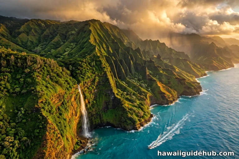
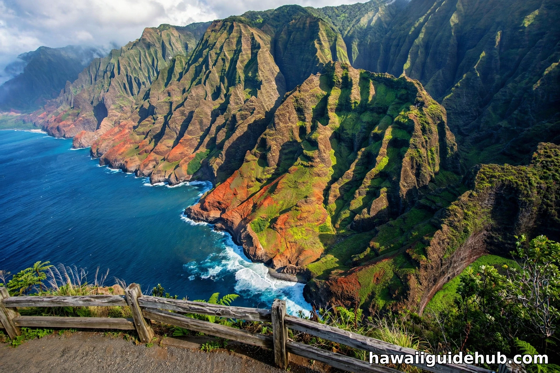
Most Hawaiian islands let you loop the coast. Kauai does not. The Nā Pali Coast runs for about 17 miles along the northwest side of the island, and its sea cliffs rise as high as 4,000 feet straight out of the ocean. No highway has ever been built through that terrain, and the protected wilderness status of the area means none ever will be.
So the road system is shaped like a giant horseshoe. Route 56, the Kuhio Highway, runs 28 miles up the east side from Lihue to Princeville. Route 560 continues another 10 miles from Princeville to the dead end at Haʻena State Park near Keʻe Beach. Route 50, the Kaumualiʻi Highway, runs 33 miles from Lihue west through Kalaheo and Waimea to the Kekaha area. You drive out one side and back the same way. Plan for that reality and you will enjoy the island far more than if you chase a loop that does not exist.
Kauai Drive Times: Leg by Leg
The table below covers the full drivable route from the end of the road on the north shore to the end of the road on the west side. Times assume normal traffic and no stops. Add at least 30 minutes if you hit Kapaʻa during commute hours.
| Leg | Highway | Miles | Drive time | What the pace tells you |
|---|---|---|---|---|
| Keʻe Beach to Hanalei | Route 560 | 9 | 20 min | 9 miles in 20 min: no rushing this road |
| Hanalei to Princeville | Route 56 | 8 | 15 min | The quickest hop on the route |
| Princeville to Kapaʻa | Route 56 | 13 | 25 min | Longest single leg; settle in |
| Kapaʻa to Lihue | Route 56 | 8 | 20 min | Slowest pace per mile on the route |
| Lihue to Poipu | Route 50 / 520 | 17 | 30 min | The cross-island connector |
| Poipu to Waimea | Route 50 | 17 | 30 min | Steady west-side cruising |
| Waimea to Kekaha | Route 50 | 7 | 15 min | The road simply ends at the sea |
| Total | 79 | ~2 hr 35 min | Steady driving, no stops; real trips take all day |
Those numbers come from the official state route lengths in the Hawaii Data Book and typical travel speeds on two lane roads. Your actual time will vary with traffic, weather, and how often you pull over for photos, which on Kauai is often.
The North Shore Leg: Keʻe Beach to Lihue
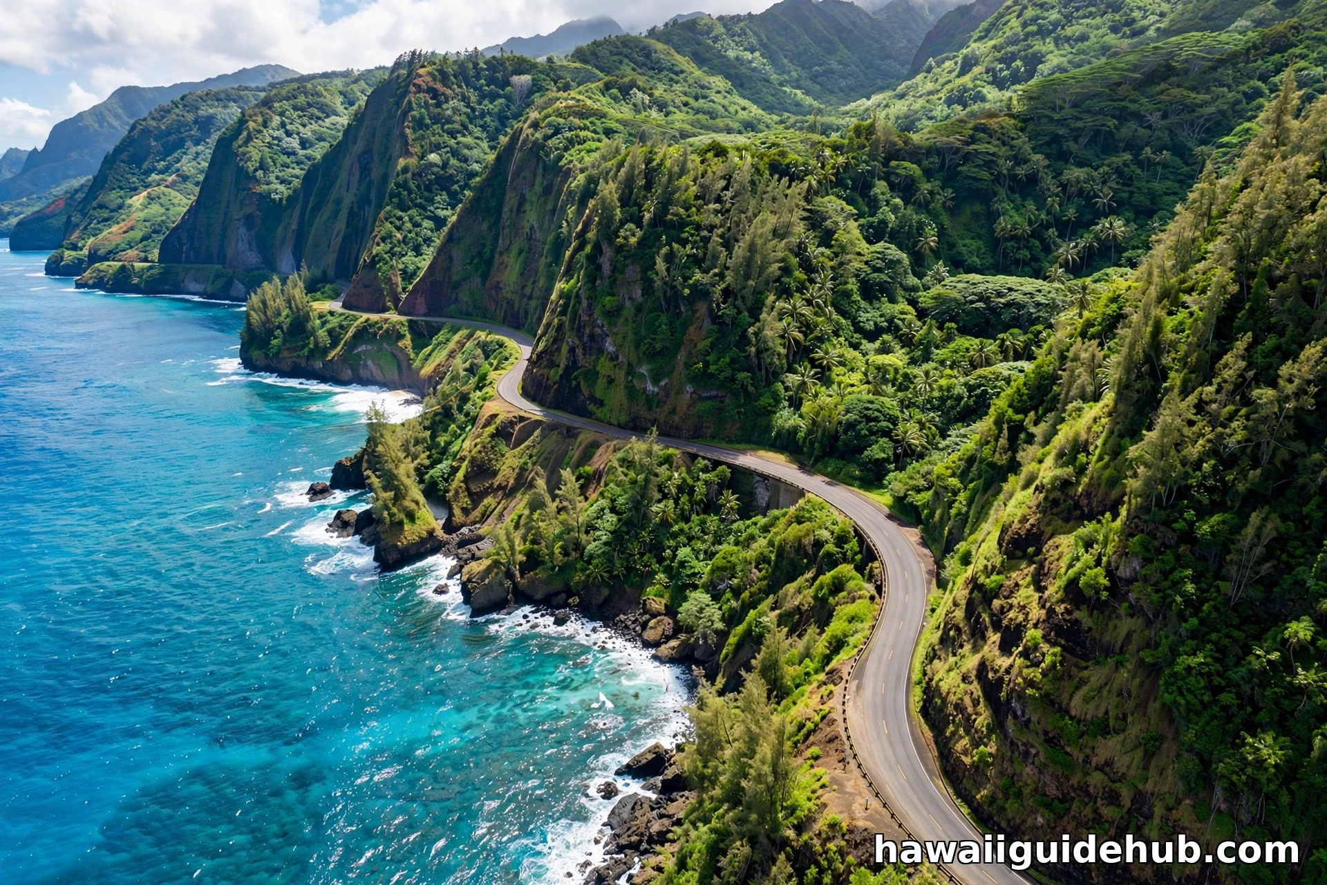
The north shore is the slowest and most beautiful part of the drive. Route 560 from Keʻe Beach to Princeville is only 10 miles, but it crosses a string of historic one lane bridges where you must yield to oncoming traffic. The Hanalei Bridge and the bridges near Wainiha are the famous ones. Drive them slowly, watch the yield signs, and do not rush the locals who cross these bridges every day.
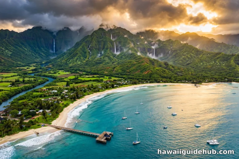
From Princeville to Lihue on Route 56, the road opens up but the scenery keeps pulling your eyes sideways. You pass Hanalei Bay, the Kilauea Lighthouse turnoff, Anini Beach, and then the long straight run through Kapaʻa. Kapaʻa is the traffic chokepoint of the whole island. Between 3 and 6 in the afternoon, the highway through town can crawl for miles. If your plan has you passing through Kapaʻa in that window, shift your schedule or accept the delay.
The South and West Leg: Lihue to Kekaha
South of Lihue, Route 50 heads west through the sunny side of the island. The turnoff to Poipu on Maluhia Road, famous for its tree tunnel of eucalyptus, is about 15 minutes from the airport. Continuing west, you pass Kalaheo, Hanapepe, and Waimea before the road straightens out toward Kekaha and the vast empty beach at Polihale.
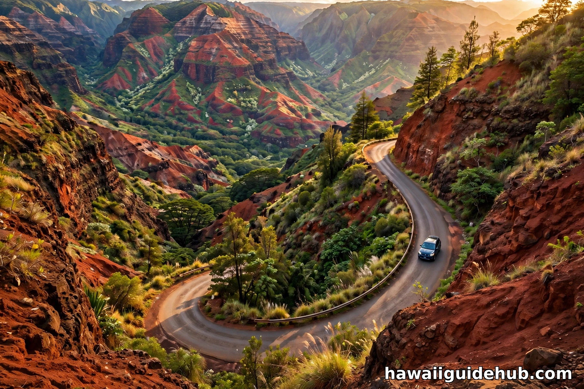
This side of the island drives faster than the north shore. Speed limits run 45 to 50 mph on the open stretches, and traffic is lighter outside of Lihue commute hours. The one exception is the Waimea Canyon Road turnoff, where tour buses and sightseers bunch up in the morning. If Waimea Canyon is on your list, and it should be, budget a half day for the drive up and the lookouts alone. Our guide to things to do on Kauai covers the canyon stops in detail.
What Slows You Down
Five things add time to every Kauai drive. First, Kapaʻa traffic, already covered above, is the big one. Second, the one lane bridges on the north shore force a full stop and wait several times each way. Third, school zones in Kapaʻa, Lihue, and Kalaheo drop the limit to 20 mph during school hours with strict enforcement.
Fourth, rain. Kauai is the wettest spot in Hawaii, and the north shore and Mount Waialeale area get sudden downpours that cut visibility to nothing. Slow down and turn on your headlights. Fifth, construction. The state resurfaces sections of the Kuhio Highway regularly, and single lane closures with flaggers are common. Check for advisories before a long driving day.
How to Plan the Driving Day
The classic mistake is trying to see the whole island in one rushed day. It can be done, but you will spend five hours in the car and remember mostly the dashboard. A better plan splits the island into two driving days: one for the north shore and east side, one for the south and west plus Waimea Canyon.
If you only have one day, start early and drive north first. Leave Lihue or Poipu by 7 AM, push through Kapaʻa before the traffic builds, and reach the north shore with the whole morning ahead of you. Work your way back south in the afternoon, stopping at the beaches and towns you skipped on the way up. Staying in Poipu? Our complete guide to Poipu has the south shore covered, including the best beaches to pair with your driving days.
Gas up in Lihue, Kapaʻa, or Waimea before heading to the far ends. Stations are scarce past Princeville and past Waimea town. Download offline maps before you leave, because cell signal drops out in Waimea Canyon, along the north shore past Hanalei, and in the valleys. And fill the cooler: the best roadside food on the island, from poke to shave ice, sits along these exact highways.
Common Mistakes to Avoid
The most common mistake is assuming you can loop the island and planning a circle route that does not exist. Check any map before you commit to a plan. The second mistake is underestimating Kapaʻa traffic and scheduling a dinner reservation on the opposite side of it at 6 PM.
The third mistake is speeding. Kauai speed limits run 25 to 50 mph, the roads are narrow, and police enforcement is strict, especially in school zones and on the north shore. The fourth is driving the north shore after dark without need. The road is unlit, the bridges are narrow, and rain is common. Get back across the one lane bridges before sunset if you can.
Finally, do not skip the west side. Many visitors drive the north shore and call it done, but the run from Waimea to Kekaha and Polihale shows a totally different Kauai: dry, open, and empty. Pair it with Waimea Canyon for the best single driving day on the island. For beach stops along the way, see our picks for the best Kauai beaches for swimming.
Kauai Versus the Other Islands: Drive Time Comparison
Kauai is the smallest of the four main Hawaiian islands you can drive, and it shows in the numbers. On Oahu, the coastal loop is about 120 miles and takes four to five hours with traffic. On Maui, the full circle via the Road to Hana and the Piilani Highway runs roughly 160 miles and demands the better part of a day. The Big Island dwarfs them all, with the circle route stretching over 300 miles.
Kauai sits at the easy end of that scale. The island measures only 25 miles long and 33 miles wide, covering about 533 square miles. That compact size is exactly why a rental car works so well here. You can base yourself in one spot, whether that is Poipu, Lihue, Kapaʻa, or Princeville, and reach every corner of the drivable island as a day trip. No hotel hopping required unless you want it.
The tradeoff is the backtracking. Oahu and the Big Island give you true loops, so you never repeat a mile. On Kauai, the north shore road and the west side road both dead end, which means you drive every scenic mile twice. Smart visitors treat the return trip as a feature, not a bug. The light changes, the clouds move, and the Nā Pali viewpoints look completely different heading south than they did heading north.
Rental Car Tips for the Kauai Drive
Book your rental car the moment you book your flights. Kauai has a small rental fleet for the demand, and the island regularly sells out of cars during holidays, spring break, and summer. Travelers who wait until arrival sometimes find nothing available at any price, which strands them at their resort with the bus as their only option.
A standard sedan handles every paved road on the island, including the Waimea Canyon drive and the road to Polihale. You do not need four wheel drive for any of the routes in this guide. The rough dirt road past the pavement at Polihale is the one exception, and rental agreements typically forbid it anyway. Save the off road ambitions for a guided tour.
When you pick up the car, do a quick check before leaving the lot. Make sure the spare tire and jack are present, because a flat on the far north shore or the west side means a long wait for roadside assistance. Take a photo of the fuel level and the dashboard so there is no dispute at return. And ask the agent about any current road advisories, since the local staff usually know about closures and construction before the apps do.
See the Drive on Video
Watch a full driving tour of Kauai’s southern road from Lihue toward Waimea Canyon and the Nā Pali Coast viewpoints to get a feel for the roads before you go.
Frequently Asked Questions
How many miles is it to drive around Kauai?
About 75 to 80 miles end to end along the drivable highway, from Keʻe Beach on the north shore to Kekaha on the west side. You cannot drive a full circle because the Nā Pali Coast has no road. The official state route lengths total about 71 miles for Routes 50, 56, and 560 combined.
How long does it take to drive across Kauai?
Driving straight through from Keʻe Beach to Kekaha takes about two and a half hours with no stops. With normal traffic and a few photo stops, plan on three to four hours. A full sightseeing day covering both sides of the island takes eight to ten hours.
Can you drive around the entire island of Kauai in one day?
You can drive the entire accessible highway in one long day, but it means a lot of backtracking since there is no loop. Most visitors enjoy the island more by splitting it into two driving days, one for the north shore and one for the south and west.
How long is the drive from Lihue to Hanalei?
About 31 miles and 55 minutes in normal traffic. During Kapaʻa rush hour, typically 3 to 6 PM, the same drive can take 90 minutes or more.
How long is the drive from Poipu to the north shore?
From Poipu to Hanalei is about 44 miles and takes around one hour and 20 minutes in normal traffic. To reach Keʻe Beach at the end of the road, add another 20 minutes.
Do you need a car on Kauai?
Yes, for most visitors a rental car is essential. Kauai’s bus system covers the main highway but runs infrequently, and the best beaches, trailheads, and lookouts are not on bus routes. Book your rental car early, as Kauai regularly sells out during busy seasons.
Kauai rewards drivers who slow down. The island is small enough to cross in an afternoon and rich enough to fill a week of day trips from a single base. Plan around the traffic, respect the one lane bridges, and leave room in the schedule for the unplanned stops. Those are the ones you will remember.