Hawaii Rain Shadow Effect: Why One Island Has Two Climates

Drive ten miles on Kauai and the weather can change from deluge to desert. Mount Waialeale, one of the wettest places on Earth, averages 350 to 400 inches of rain a year per USGS records, while western Kauai, just down the road in the mountain’s rain shadow, gets 12 to 25 inches. The same island. The same day. Two climates. This is the rain shadow effect, and it shapes where you should stay, what you should pack, and which side of every island matches your vacation.
This is the single complete guide to the Hawaii rain shadow effect. It explains how trade winds and mountains create the pattern, compares windward and leeward climates island by island with rainfall data, covers when the pattern breaks, tells you where to stay based on your weather personality, and finishes with FAQs. Everything about Hawaii’s rain shadow lives on this one page.
How the Rain Shadow Works
Three ingredients make Hawaii’s rain shadow: the Pacific Ocean, the northeast trade winds, and tall volcanic mountains. The trades blow moist ocean air against the islands more than half the year, sometimes over 90 percent of the time in summer. When that air hits a mountain, it is forced upward. Rising air cools, cool air holds less moisture, and the vapor condenses into clouds and rain on the windward slopes. This is orographic lift, and Hawaii’s steep volcanoes do it violently well.
By the time the air crosses the summit, it has been wrung nearly dry. It then sinks down the leeward side, warming as it descends, which increases its capacity to hold moisture and suppresses rainfall further. The result: a lush, dripping windward coast and a sunny, arid leeward coast separated by a single ridgeline. The trade wind inversion, a layer of warm dry air typically around 5,000 to 6,000 feet, caps the clouds and keeps the tallest summits arid too. The rainiest zone sits around 3,000 feet up the windward slopes, where the lift is strongest.
Same Island, Two Climates: The Numbers
Rainfall figures below are rounded annual averages per National Weather Service Honolulu climate normals, with mountain figures per USGS. They show the same pattern on every island.
| Island | Windward example | Leeward example | What changes |
| Kauai | Mt. Waialeale: ~350-400 in/yr | Waimea/Kekaha: ~12-25 in/yr | Rainforest to near-desert in 10 miles |
| Big Island | Hilo: ~125 in/yr | Kohala coast: ~10-20 in/yr | Wettest town to resort sunshine |
| Oahu | Kaneohe: ~65 in/yr | Waikiki: ~23 in/yr | Lush valleys vs. beach weather |
| Maui | Hana: ~80 in/yr | Kihei: ~13 in/yr | Jungle road vs. sunny condos |
| Molokai | East end mountains: very wet | West end: arid | Few visitors see both sides |
The Big Island is the textbook case: the “2 Minute Geology” series notes the transition from over 120 inches on the wet side to about 10 inches on the dry side. But the pattern holds everywhere the mountains are tall enough to block the trades. Low, flat islands like Niihau and Kahoolawe barely register a shadow; the high islands of Kauai, Oahu, Maui, and Hawaii cast dramatic ones.
Windward vs. Leeward: What Each Side Feels Like
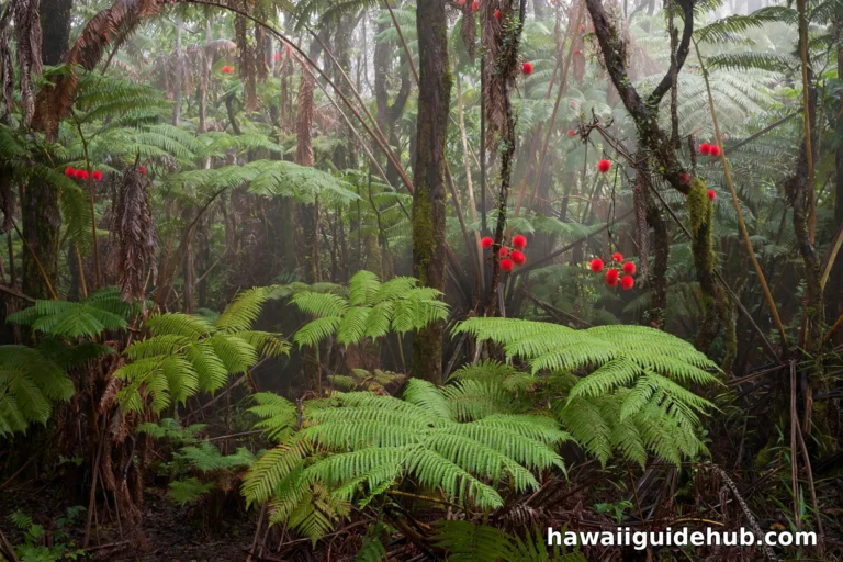
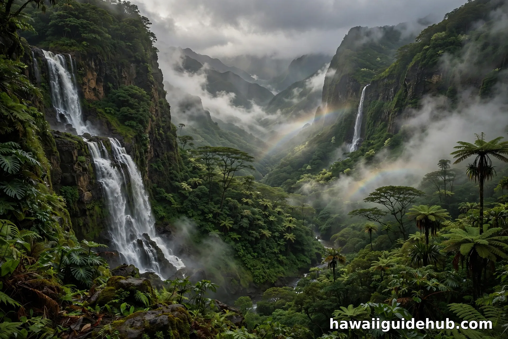
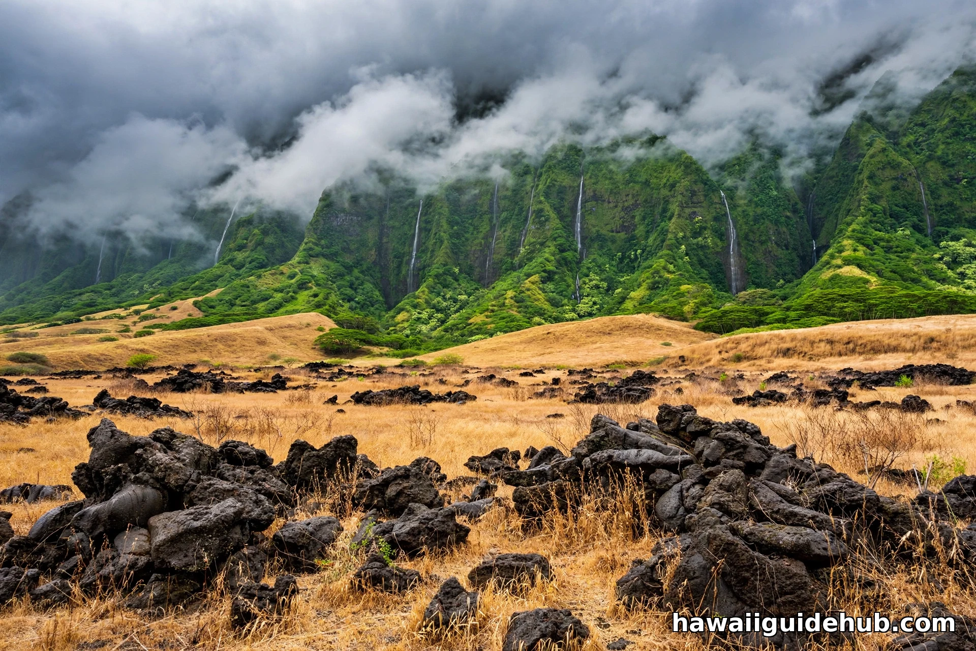
The windward side, generally the north and east shores, is Hawaii’s green side: rainforests, waterfalls, misty valleys, and frequent brief showers. It is spectacular and moody, the Hawaii of postcards with rainbows. The windward side of Oahu is the classic example, with the Koolau cliffs dripping into Kaneohe Bay.
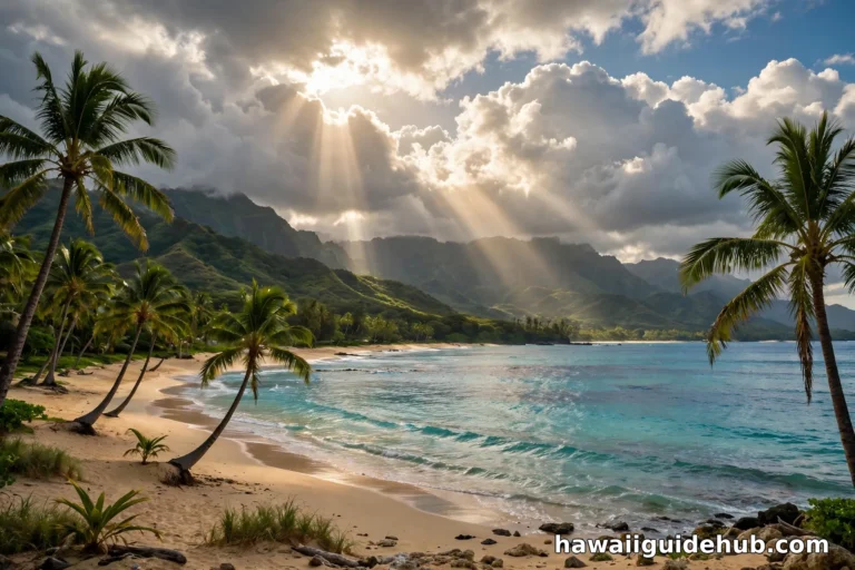
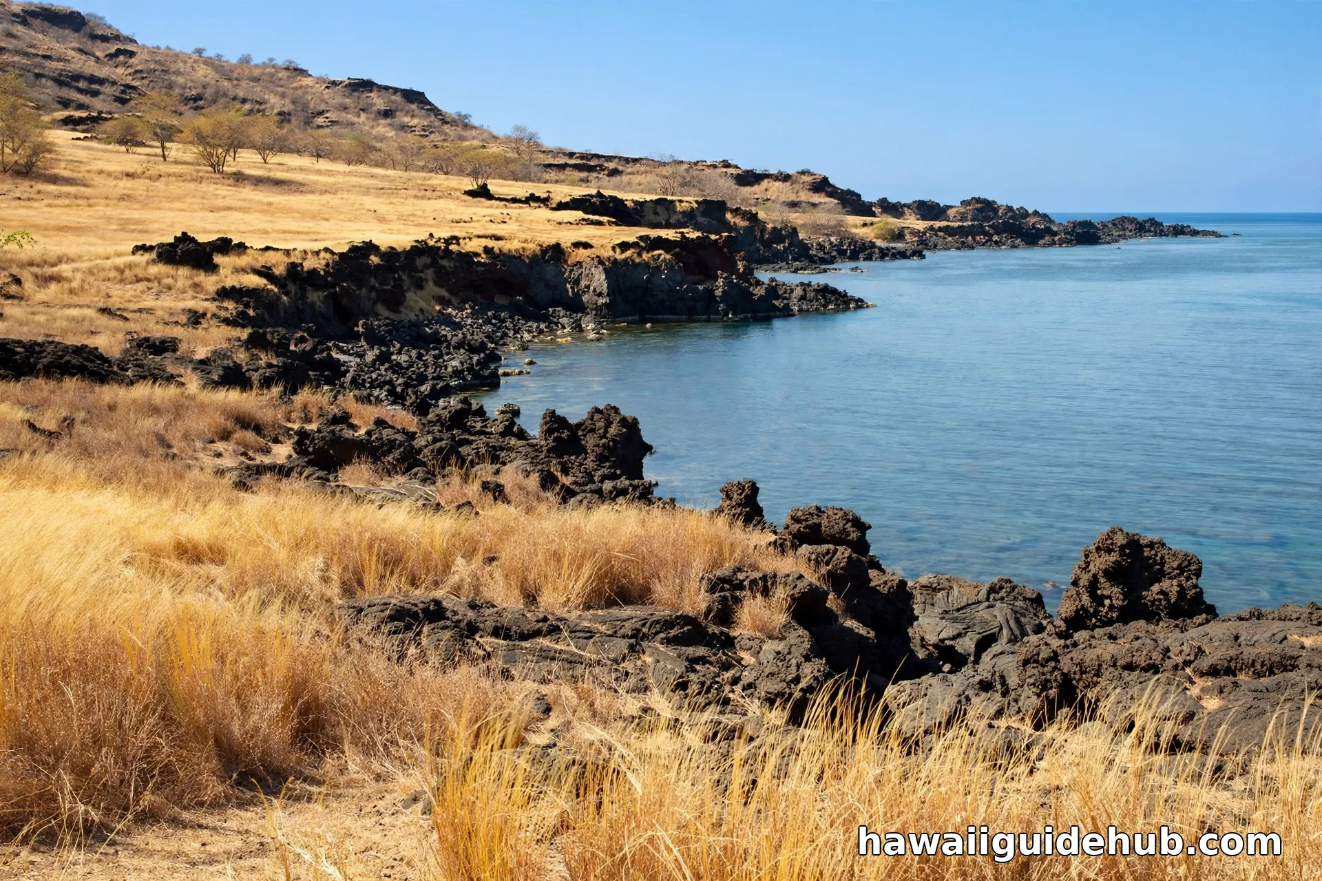
The leeward side, generally the south and west shores, is the sunny side: drier air, calmer mornings, resort beaches, and the famous “eternal spring” weather. Waikiki on Oahu, Wailea and Lahaina on Maui, Poipu on Kauai, and the entire Kona-Kohala coast on the Big Island all sit in rain shadows. This is where most visitors stay, and the rain shadow is the reason the strategy works.
Where to Stay: Match the Side to Your Trip
Choose your side deliberately. Stay leeward if your vacation centers on beach days, pool time, and sunset dinners: the odds of dry weather are overwhelmingly in your favor, and the water is calmer. The resort coasts exist where they do precisely because developers read the same rainfall maps.
Stay windward, or split your stay, if you want lush scenery, waterfalls, botanical gardens, and fewer crowds, and you do not mind packing a rain jacket. Windward towns like Hilo, Kaneohe, and Hanalei offer a deeper, wetter, more local Hawaii, often at lower prices. Many experienced visitors split the difference: leeward base for beach days, windward day trips for the green side. For seasonal timing, see our guides to Hawaii weather in December and the best Oahu winter spots.
When the Pattern Breaks
The rain shadow is a tendency, not a guarantee. Kona winds, southerly winds that replace the trades a few times a year, flip the script: leeward areas get muggy and showery while windward sides clear. Winter storms (November through March) bring island-wide rain that ignores the shadow entirely; a Kona low can soak Waikiki as thoroughly as Hilo. Hurricanes, rare but real, do not respect sides either.
Daily rhythms matter too. Windward showers often fall at night and in the early morning, leaving afternoons clear, which is why windward beaches can still deliver fine beach days. Leeward areas get their own pattern: calm, clear mornings giving way to afternoon clouds as sea breezes build, especially on the Big Island’s Kona coast. And vog, volcanic smog from Kilauea, drifts on the same winds and can haze leeward skies during active eruptive periods.
What to Pack for Two Climates
Pack for the island you are visiting, not the side you are staying on, because you will visit both. A lightweight packable rain jacket is the single most useful item: windward hikes and waterfall stops demand it even when your resort is sunny. Quick-dry clothing beats cotton. Reef-safe sunscreen matters on both sides, since leeward sun is intense and windward sun appears the moment showers pass. And bring layers for elevation: the summits above the inversion, Haleakala, Mauna Kea, Waialeale’s rim, run 20 to 30 degrees cooler than the beaches, in a different climate zone altogether.
The Trade Wind Inversion: Hawaii’s Weather Ceiling
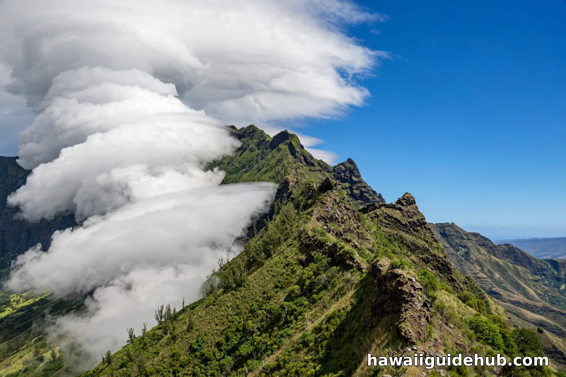
Above the rain-making zone sits one of Hawaii’s strangest features: the trade wind inversion. Normally air cools steadily with altitude, but over Hawaii a layer of warm, dry air typically sits around 5,000 to 6,000 feet, capping the moist trade-wind air below it like a lid. Clouds flatten against it, which is why Hawaiian summits often wear a flat white cap while the sky above stays deep blue.
The inversion explains two oddities visitors notice. First, the tallest summits are arid: above the inversion there is almost no moisture, so Mauna Kea and Mauna Loa wear desert and even occasional snow above 11,000 feet while rainforests thrive at 3,000 feet on the same mountain. Second, the rainiest belt is not at the summit but partway up the windward slopes, around 2,000 to 4,000 feet, where the lifting air is coldest before hitting the lid. Drive from Hilo to the Mauna Kea summit and you climb through rainforest, cloud forest, dry scrub, and alpine desert in 45 miles: four climates stacked vertically by the inversion.
Ten Climates in One State
Hawaii is often credited with 10 of the world’s 14 major climate zones, per University of Hawaii geography references, more than any other U.S. state. The rain shadow is the engine of that diversity. On the Big Island alone you can stand in tropical rainforest near Hilo in the morning, cross arid lava desert at the saddle in the afternoon, and watch snow on Mauna Kea in winter. Maui compresses rainforest (Hana), alpine desert (Haleakala summit), and sunny beach (Kihei) into one island. No other American destination lets you sample this many climates without boarding a plane, and the rain shadow deserves most of the credit.
Rain Shadow Day Trips: Both Sides in One Day
The rain shadow makes spectacular day trips possible. On the Big Island, drive the Hamakua coast from sunny Waikoloa through Waimea’s ranch country to the waterfall-draped cliffs near Hilo, watching the landscape flip from gold to green and back. On Kauai, start with sunrise in dry Poipu, drive up Waimea Canyon through the shadow’s edge, and end at the misty Kalalau Lookout staring into the wettest valleys on Earth. On Maui, the Road to Hana runs the windward side while the return via Upcountry crosses into drier air. On Oahu, the Pali Highway tunnels through the Koolau range from Honolulu’s sunshine into Kaneohe’s showers in fifteen minutes. Each drive is a live demonstration of the effect this page describes.
Reading the Forecast Like a Local
The National Weather Service Honolulu office issues forecasts by zone, not by island, which is the rain shadow made practical. A forecast of “windward showers” means the east side gets passing rain while the west stays dry; “leeward” in the forecast usually refers to afternoon cloud buildups rather than real rain. When the forecast mentions the trades weakening, expect muggier, less predictable weather everywhere. Bookmark the NWS Honolulu site before your trip and read the zone that matches your plans, not the island-wide headline.
Watch: Rain Shadow Effect, Filmed Near Hilo
Hawaii Rain Shadow FAQs
What is the rain shadow effect in Hawaii?
Moisture-laden trade winds hit Hawaii’s volcanic mountains and are forced upward, cooling and dropping rain on the windward slopes. The air crosses the summit wrung dry, then sinks and warms on the leeward side, suppressing rain. The leeward side sits in the mountain’s “shadow” of rainfall.
Which side of Hawaii is the sunny side?
The leeward side, generally the south and west shores: Waikiki on Oahu, Wailea and Kihei on Maui, Poipu on Kauai, and the Kona-Kohala coast on the Big Island. These areas sit in the rain shadow and get the most consistent sunshine.
Why is Hilo so rainy and Kona so dry?
Hilo sits on the Big Island’s windward coast, directly facing the northeast trades, and receives about 125 inches of rain a year. The island’s massive volcanoes strip the moisture from the air, so Kona, on the leeward side, gets a fraction of that. Same island, opposite sides of the mountain barrier.
Does it rain every day on the windward side?
Not all day. Windward rain often comes as brief passing showers, frequently at night or in the morning, with sunshine between. The mountains get the persistent deluge; the windward coasts get a mix that still allows plenty of beach time.
What are Kona winds?
Southerly winds that occasionally replace the northeast trades. They reverse the usual pattern, bringing muggy, showery weather to leeward areas and vog with them. Kona wind episodes usually last a few days.
Which Hawaiian island is the driest?
There is no single answer, since every island has both wet and dry sides. The driest inhabited spots are leeward coastal areas like the Kohala coast and western Kauai, each receiving roughly 10 to 25 inches a year. Niihau, low and flat, is dry island-wide.
Two Sides, One Island
The rain shadow is Hawaii’s quiet superpower: it packs rainforest and near-desert into a single island, sometimes within a single morning’s drive. Understand it and you stop fighting the weather and start using it: leeward base for sunshine, windward day trips for waterfalls, a rain jacket always within reach. Check the forecast by side, not by island, and let the mountains do what they have done for millions of years. For more on planning around island weather, see our North Shore Oahu guide, where winter surf and rain shadow patterns collide spectacularly. Few forces shape a vacation more than the mountains you cannot see the weather coming over. Learn the pattern, and Hawaii’s skies start making sense.