Is Hawaii in the Pacific Ocean? Location, Distance, and Map Explained

Yes, Hawaii is in the Pacific Ocean. The islands sit in the central North Pacific, roughly 2,000 miles southwest of the United States mainland, closer to the equator than to any continent. It is the most geographically isolated population center on Earth, and that single fact shapes everything about a trip there: the flight time, the climate, the wildlife, and even what it costs to ship a bottle of sunscreen.
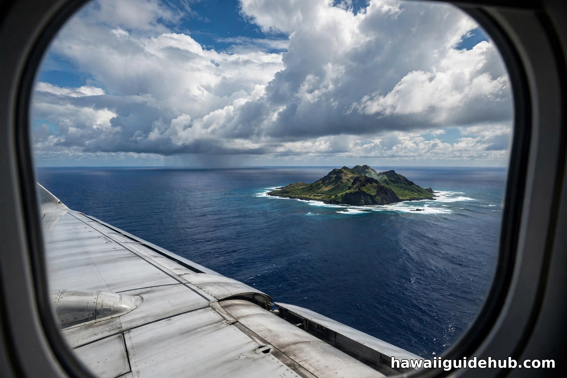
Where Exactly Is Hawaii on the Map
Hawaii lies in the northern half of the Pacific Ocean, between 19 and 22 degrees north latitude for the main islands. Honolulu, the state capital on Oʻahu, sits at roughly 21.3°N and 157.9°W. To picture it, draw a line west from California across the ocean for about 2,500 miles and you will land on the islands. It is the northernmost island group in Polynesia and the only U.S. state located in Oceania.
The Hawaiian Islands are not part of North America in any geographic sense. They rose from the ocean floor as the Pacific Plate drifted northwest over a stationary volcanic hotspot in the Earth’s mantle, a process that built the entire Hawaiian Emperor seamount chain. The islands are the exposed peaks of that undersea mountain range, which is why they look so different from anything on the mainland.
How Far Is Hawaii From the Mainland United States
The short answer is about 2,400 to 2,600 miles from the West Coast, depending on which cities and which islands you measure between. Great circle distance, the shortest path over the curve of the Earth, gives these approximate figures between Honolulu and major mainland cities:
- Honolulu to San Francisco: about 2,400 miles
- Honolulu to Los Angeles: about 2,560 miles
- Honolulu to San Diego: about 2,610 miles
- Honolulu to Seattle: about 2,680 miles
- Honolulu to Dallas: about 3,800 miles
- Honolulu to Chicago: about 4,250 miles
- Honolulu to New York: about 4,970 miles
The closest point between the Hawaiian chain and the mainland is Cape Kumukahi on the Island of Hawaiʻi, still more than 2,100 miles from California. In practical terms, a nonstop flight from Los Angeles or San Francisco takes around 5 to 6 hours to reach Honolulu. From the East Coast, expect a full travel day of 10 to 12 hours including connections. There is no bridge, no tunnel, and no passenger ferry from the mainland. Every visitor and nearly every physical good arrives by air or by ship.
How Far Is Hawaii From the Equator
Honolulu sits about 1,465 miles north of the equator. The main islands fall between roughly 19 and 22 degrees north latitude, placing them just south of the Tropic of Cancer at 23.5°N. That puts Hawaii firmly in the tropics, though trade winds and ocean currents keep temperatures milder than most places at similar latitudes.
This is worth knowing because it explains the weather. With the islands sitting well inside the tropics, temperatures barely move through the year. Honolulu averages in the mid 80s Fahrenheit by day and the low 70s at night in both summer and winter. The position also means Hawaii is closer to the equator than Florida, which sits between 25 and 31 degrees north. It is one reason the islands feel so different from the mainland even before you step off the plane.
The Archipelago: 137 Islands Stretching 1,500 Miles
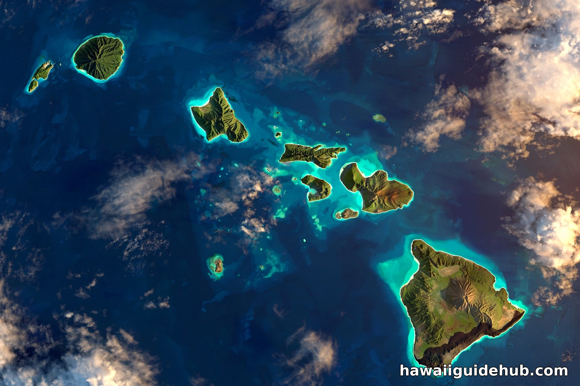
Most maps show Hawaii as a small cluster of eight islands, but the real footprint is far larger. The state includes 137 volcanic islands, islets, and atolls that stretch about 1,500 miles from the Island of Hawaiʻi in the southeast to Kure Atoll in the northwest. That is roughly the distance from Maine to Miami, all in one state.
The eight main islands, from northwest to southeast, are Niʻihau, Kauaʻi, Oʻahu, Molokaʻi, Lānaʻi, Kahoʻolawe, Maui, and Hawaiʻi. Most first-time visitors start with Oʻahu, home to Honolulu and Waikīkī, and our Oʻahu island guide covers what not to miss there. Beyond Kauaʻi, the Northwestern Hawaiian Islands run for hundreds of miles as remote atolls and reefs, most of them protected within the Papahānaumokuākea Marine National Monument, one of the largest protected areas on the planet. Midway Atoll is the one exception to state ownership; it is a separate U.S. territory.
Why Hawaii Is Called the Most Isolated Place on Earth
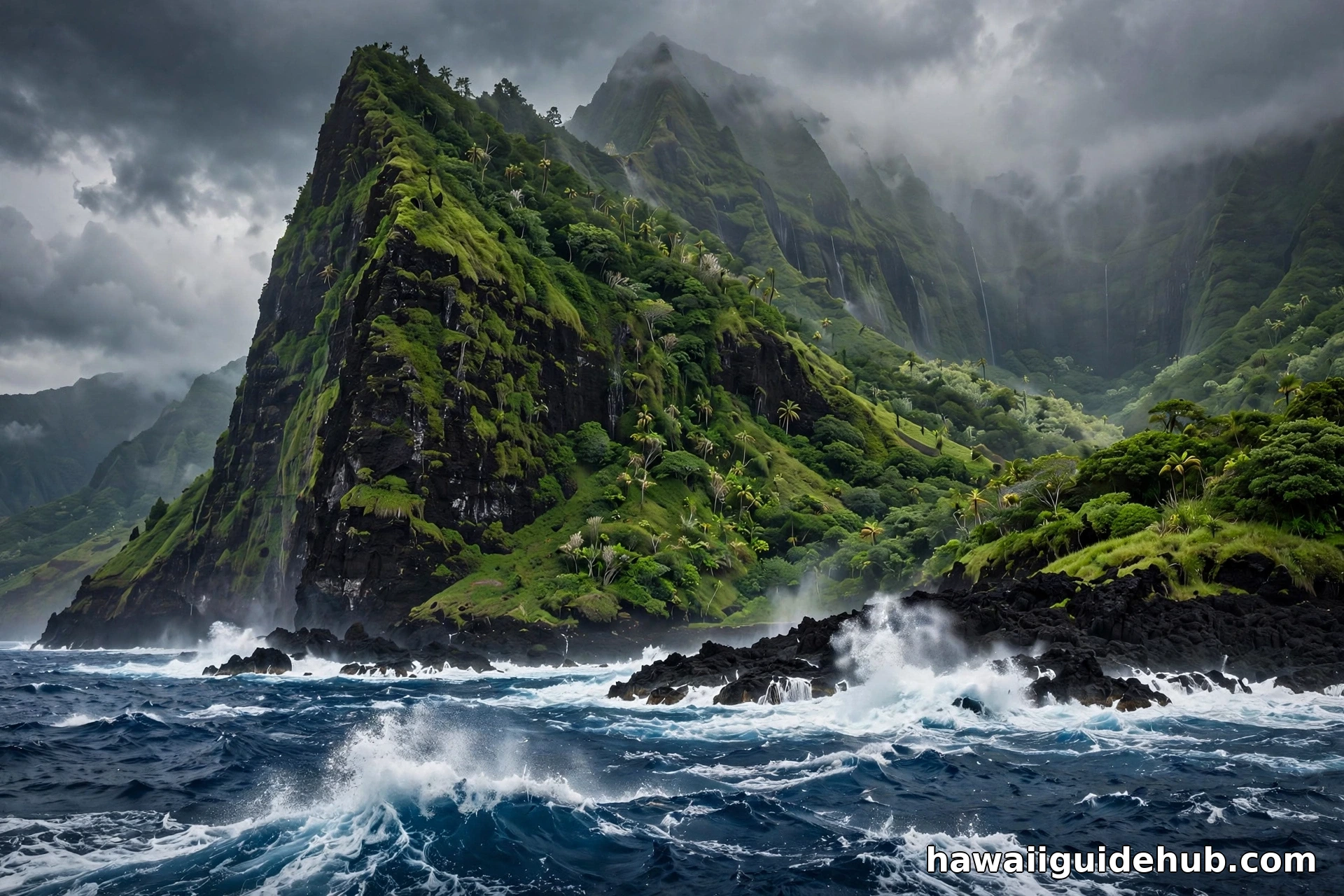
The Hawaiian Islands are about 1,860 miles from the nearest continent, which makes them the most isolated major population center on the planet. Nothing else is close. Tokyo is around 3,800 miles away. The South Pacific islands are thousands of miles to the south and west. The islands sit in an enormous expanse of open ocean with no landmass nearby in any direction.
That isolation is why Hawaii has so many species found nowhere else. Plants and animals arrived by wind, wings, or waves over millions of years and evolved in place. It is also why nearly everything is imported. Groceries, fuel, building materials, and cars reach the islands by container ship, which is one reason the cost of living runs higher than on the mainland. Visitors notice it in hotel rates and restaurant prices before the first day is over.
Getting There: Your Only Options Are Air and Sea
For travelers, the isolation means one thing: you fly. Honolulu International Airport on Oʻahu is the main gateway, with nonstop flights from dozens of mainland cities plus Tokyo, Sydney, Auckland, and other Pacific hubs. If this is your first trip, our guide for first-time visitors will help you choose which island to start with. Maui, Kauaʻi, and the Island of Hawaiʻi also receive direct mainland flights, which can save a connection through Honolulu.
Cruise ships visit from the West Coast and from Asia, and a few cargo-passenger routes still cross the Pacific, but these are slow and seasonal. There has never been a road or rail link, and proposals for one remain firmly in fantasy territory. Plan your flights early, especially for winter and spring break, when the most isolated islands in America fill up fast. If you are still deciding when to go, it helps to know the cheapest time of year to visit Hawaii, since airfare swings with the seasons.
What the Location Means for Your Trip
Hawaii’s position in the mid Pacific shapes the practical side of every visit. The islands run on Hawaii Standard Time, which is 3 hours behind Pacific Time and does not observe daylight saving time, so your body clock will need a day to adjust. The tropical latitude means the sun is strong year round, and reef safe sunscreen is required by state law. Trade winds from the northeast keep the windward coasts green and the leeward coasts sunny and dry.
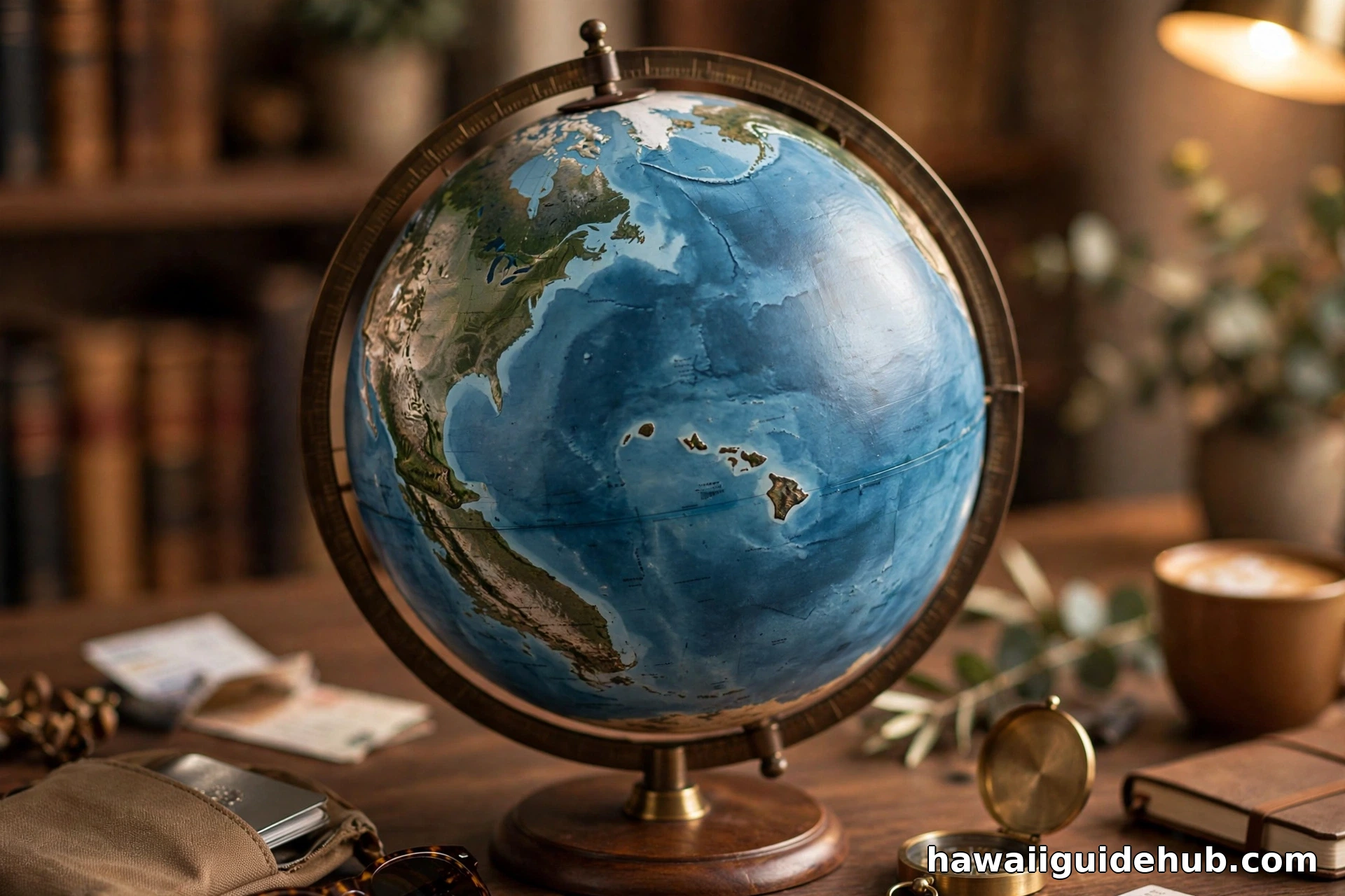
The ocean itself is part of the geography. Water temperatures hover in the mid 70s to low 80s Fahrenheit all year, and the same Pacific swells that make the North Shore famous in winter also mean you should check surf reports before swimming anywhere unfamiliar. Everything about the islands, from the weather to the waves, traces back to where they sit on the map.
See Where Hawaii Sits on the Map
This short video shows exactly where Hawaii sits in the Pacific Ocean and how the island chain stretches across it.
How the Islands Were Born in the Middle of Nowhere
The Hawaiian Islands exist because of one of geology’s most remarkable setups. Deep beneath the Pacific Plate, a plume of hot rock rises from the Earth’s mantle in a fixed spot known as the Hawaiian hotspot. As the Pacific Plate creeps northwest at a few inches per year, it carries old volcanoes away from the heat source while new ones form over it. The result is a conveyor belt of islands, youngest in the southeast and oldest in the northwest.
The Island of Hawaiʻi is the baby of the family, still growing as Kīlauea and Mauna Loa add new land. Kauaʻi, by contrast, is about 5 million years old, deeply eroded into the cliffs of the Nā Pali Coast and Waimea Canyon, and there is no shortage of things to do on Kauaʻi beyond admiring the geology. Maui sits between the two in age and character, and these reasons to visit Maui lay out the case for the Valley Isle. Farther northwest, the islands have sunk back below the waves entirely, leaving only atolls and seamounts. Midway Atoll, famous for the World War II battle, sits near the far end of the chain. The whole Hawaiian Emperor seamount chain runs for thousands of miles across the Pacific floor, and the Hawaiian Islands are just its youngest, tallest peaks poking above the surface.
The Northwestern Islands: Hawaii’s Hidden Half
When people picture Hawaii, they think of the eight main islands, but most of the archipelago lies beyond them. The Northwestern Hawaiian Islands stretch for hundreds of miles past Kauaʻi as a string of tiny atolls, reefs, and rocky islets. Almost all of them are uninhabited and protected within the Papahānaumokuākea Marine National Monument, a UNESCO World Heritage site and one of the largest conservation areas on Earth.
These remote islands are where you find some of the planet’s rarest wildlife, including the Hawaiian monk seal and the Laysan albatross, which nests there in enormous colonies. Access is strictly limited to researchers and cultural practitioners. For travelers, the Northwestern islands are a reminder of how vast the Hawaiian archipelago really is, even though the vacation happens on the eight main islands at the southeastern end.
What Isolation Costs: Prices, Shipping, and Daily Life
Living 2,000 miles from the nearest continent has real consequences. Roughly 90 percent of the food consumed in Hawaii is imported, arriving by container ship from the mainland and Asia. Fuel, cars, lumber, and nearly every manufactured good makes the same ocean crossing. That is why groceries, gas, and housing cost noticeably more than in most mainland states, and why visitors often feel sticker shock at the checkout line.
The isolation also shaped the culture. Before European contact, Native Hawaiians sustained a sophisticated society on these remote islands for centuries, farming taro in irrigated terraces and navigating the open Pacific in double hulled canoes using stars, swells, and bird flight paths. The Polynesian voyagers who first settled Hawaii crossed thousands of miles of open ocean without compasses or charts, one of the great navigation feats in human history. Their descendants keep that tradition alive today through voyaging canoes like Hōkūleʻa, which has sailed around the world using only traditional wayfinding.
How Hawaii Compares to Other Remote Islands
To put the isolation in perspective, Hawaii is farther from a continent than almost any other major island group people actually visit. The Galápagos sit about 600 miles off Ecuador. Iceland is roughly 500 miles from Scotland. Even famously remote Easter Island is about 2,200 miles from Chile, comparable to Hawaii’s distance from California. But Easter Island has a few thousand residents; Hawaii has 1.4 million people and welcomes around 10 million visitors in a normal year, all of them crossing that same vast ocean to get there.
Honolulu is actually closer to Tokyo, about 3,800 miles, than it is to New York at nearly 5,000 miles. It sits roughly 2,600 miles from Sydney and about 4,700 miles from London. The islands are a crossroads of the Pacific in the truest sense, positioned between North America and Asia, which is why Honolulu became such an important refueling and military hub during the 20th century.
A Few More Things Worth Knowing
Hawaii became the 50th U.S. state in 1959, but it remains the only state that is an archipelago, the only state south of the Tropic of Cancer, and the only state not on the North American mainland. Its coastline runs about 750 miles, the fourth longest of any state, despite a total land area smaller than New Jersey. And because the Pacific Plate keeps moving northwest over the hotspot, the Island of Hawaiʻi is still growing while the oldest islands slowly sink back into the sea.
So the next time someone asks whether Hawaii is really in the Pacific Ocean, the answer is simple: it is not just in the Pacific, it is about as deep into it as a U.S. state can possibly be. The islands are 2,000 miles from the mainland, 1,465 miles from the equator, and 1,500 miles of archipelago end to end. That distance is exactly what makes Hawaii feel like another world the moment you arrive.